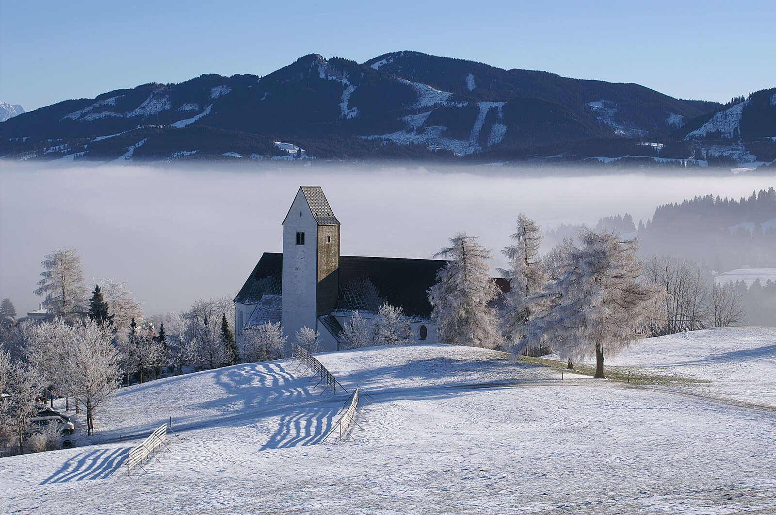
Faistenoy (Oy-Mittelberg)
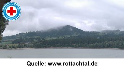
实时摄像头
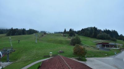
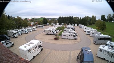
开放缆车: 0%
积雪报告
- 过去24小时: 0 厘米
- 过去72小时: 0 厘米
- 过去7天: 0 厘米
- 过去7天: 山谷 0厘米 · 山腰 0厘米 · 山顶 0厘米
- 本季累计: 0 厘米
About Faistenoy (Oy-Mittelberg)
A gateway to the Allgäu Alps known for its rustic charm and as a launchpad for the historic Alpspitzbahn cable car.
Highlights
- Traditional Bavarian architecture
- Family-friendly hiking
- Panoramic valley views
- Year-round cable-car access
Key Facts
- Altitude: 939m
- Top lift: 999m
- Ski pistes: 1km
- Ski lifts: 2
- Population: 300
- Lakes nearby: 35
- MTB trails: 113.1km
- Mountain huts: 21
Ski Area
Weather and 10-day forecast for Faistenoy (Oy-Mittelberg)
- Today: 9 to 20 °C, partly cloudy, 6 h of sunshine
- Freezing level today: about 3940 m (3250 to 4140 m)
| Day | Min / max | Sky | Precipitation | Sunshine |
|---|---|---|---|---|
| 9月20日周日 | 9 / 20 °C | partly cloudy | dry | 6 h sun |
| 9月21日周一 | 8 / 15 °C | overcast | dry | 3 h sun |
| 9月22日周二 | 4 / 14 °C | clear sky | dry | 12 h sun |
| 9月23日周三 | 3 / 16 °C | clear sky | dry | 12 h sun |
| 9月24日周四 | 9 / 18 °C | partly cloudy | dry | 7 h sun |
| 9月25日周五 | 8 / 20 °C | overcast | dry | 4 h sun |
| 9月26日周六 | 10 / 22 °C | clear sky | dry | 12 h sun |
| 9月27日周日 | 11 / 24 °C | partly cloudy | dry | 5 h sun |
| 9月28日周一 | 13 / 23 °C | clear sky | dry | 12 h sun |
| 9月29日周二 | 13 / 23 °C | clear sky | dry | 12 h sun |
Things to do in Faistenoy (Oy-Mittelberg)
Hikes nearby — Faistenoy (Oy-Mittelberg) (16)
16 curated hiking trails around Faistenoy (Oy-Mittelberg), sourced from OpenStreetMap and enriched with distance, elevation gain and difficulty.
-
Oy-Mittelberg - lokale beschilderte Wanderwege
-
Steinmeile
The trail climbs gently from the Buron Stadl through alternating woodland and open summer meadows, twice crossing the Schanzenbach stream, with views opening over the Grüntensee below. It arrives at the Buronhütte, a mountain hut built in 1935 as a ski shelter, perched on a grassy hillside high above the lake.
-
Großer Panoramarundweg 4
-
Rundweg 3
Faistenoy-Ellegghöhe-Horn-Mühlbachweg
-
Auf SEINER Spur
Ein Glaubens- und Kirchenrundweg durch die Allgäuer Gemeinde Oy-Mittelberg
-
Nesselwang - lokale beschilderte Wanderwege
-
Wertach - lokale beschilderte Wanderwege
-
Sebald-Weg
The Sebald-Weg descends from the German-Austrian border at Oberjoch through the gorge of the Alpsteigtobel, passing the restored Krummenbacher Kapelle and the Vordere Sorg-Alpe, before reaching the birthplace of writer W. G. Sebald in Wertach. Along the way, six stone steles bear excerpts from Sebald's book *Schwindel. Gefühle.*, marking the original locations from his writing.
-
European Long distance path E 4 - part Germany (segment austria)
-
Wandertrilogie Allgäu Etappe 21 Görisried - Leuterschach
Die Wandertrilogie Allgäu ist ein Fernwanderwegenetz, das aus den drei Hauptrouten – Wiesengänger, Wasserläufer und Himmelsstürmer Route – besteht und durch die verschiedenen Landschaftsformen des Allgäus und in einem Abschnitt durch das Tannheimer Tal führt. Die Routen sind miteinander verbunden und durch Leitern verknüpft, so dass der Wanderer sich seine Etappen individuell zusammenstellen kann.
-
Rund um die Reuterwanne
-
Heinrichweg 1
-
Durach: Rund um den Bodelsberg
-
Rundwanderweg Sulzberg 4
-
Jungholzer Höhenweg
-
Breitenbergbahn -Ostlerhütte - Fallmühle
Mountain biking near Faistenoy (Oy-Mittelberg)
- MTB Marathon Pfronten
- Naturbiken Weiher- und Burgenrunde
- Naturbiken Grüntenseerunde
- Obere Alpe Reuterwanne
Getting to Faistenoy (Oy-Mittelberg)
Door-to-door travel times as used by the MR. ALPS ranking.
- Nearest airport: Memmingen Allgau Airport (FMM), 43 km away, about 44 min by road
- München: 1h43 by car, 132 km
- Innsbruck: 1h57 by car, 129 km
- Stuttgart: 2h08 by car, 205 km
- Zürich: 2h40 by car, 214 km
- Nürnberg: 2h52 by car, 289 km
- Luzern: 3h16 by car, 265 km
Where to stay in Faistenoy (Oy-Mittelberg)
200 places to stay for a night on 2026-09-25, from 112 EUR per night, median 278 EUR. Prices are direct with hotels and destinations, compared live on the Faistenoy (Oy-Mittelberg) page.