Col de Turini/Camp d'Argent
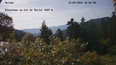
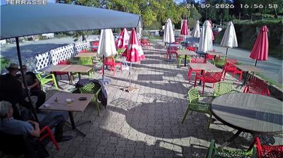
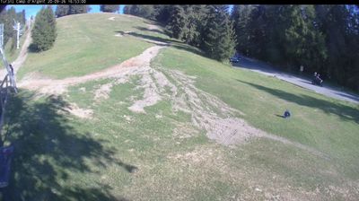
实时摄像头
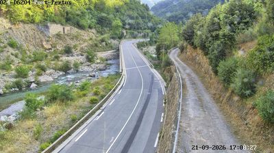
开放缆车: 0%
积雪报告
- 过去24小时: 0 厘米
- 过去72小时: 0 厘米
- 过去7天: 0 厘米
- 过去7天: 山谷 0厘米 · 山腰 0厘米 · 山顶 0厘米
- 本季累计: 0 厘米
About Col de Turini/Camp d'Argent
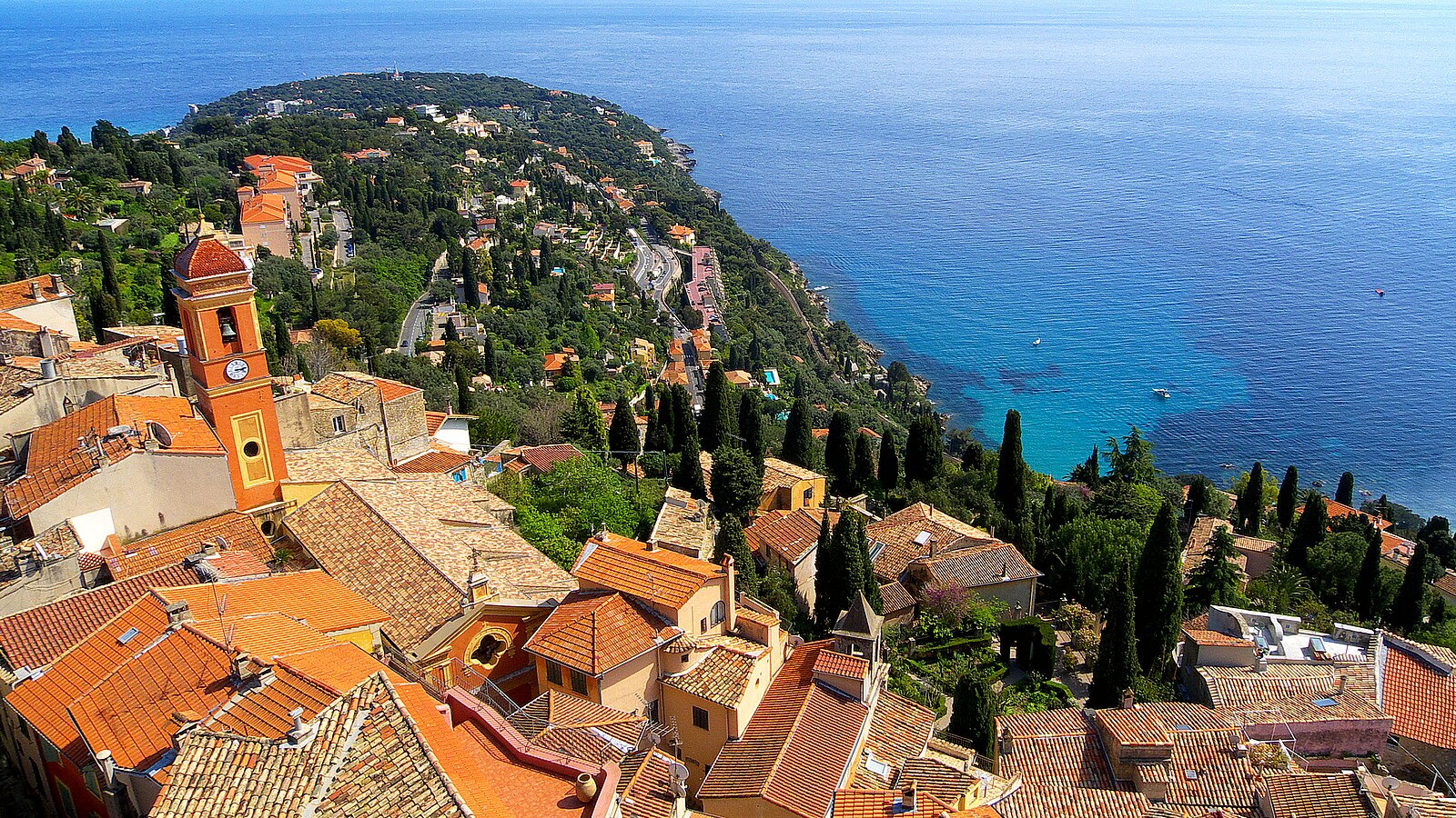
A legendary mountain pass near the Riviera, famous for its hairpin bends and the high-stakes drama of the Monte Carlo Rally.
Highlights
- Rallying heritage
- Tight hairpin bends
- Coastal mountain views
- Larch forest trails
Key Facts
- Altitude: 1608m
- Top lift: 1920m
- Ski pistes: 3km
- Ski lifts: 3
- Lakes nearby: 21
- Mountain huts: 6
Ski Area
Weather and 10-day forecast for Col de Turini/Camp d'Argent
- Today: 10 to 15 °C, partly cloudy, 7 h of sunshine
- Freezing level today: about 4358 m (4240 to 4650 m)
| Day | Min / max | Sky | Precipitation | Sunshine |
|---|---|---|---|---|
| 9月20日周日 | 10 / 15 °C | partly cloudy | dry | 7 h sun |
| 9月21日周一 | 13 / 18 °C | overcast | dry | 3 h sun |
| 9月22日周二 | 11 / 16 °C | partly cloudy | dry | 7 h sun |
| 9月23日周三 | 9 / 14 °C | overcast | dry | 3 h sun |
| 9月24日周四 | 9 / 16 °C | partly cloudy | dry | 7 h sun |
| 9月25日周五 | 9 / 15 °C | partly cloudy | dry | 5 h sun |
| 9月26日周六 | 9 / 16 °C | partly cloudy | dry | 6 h sun |
| 9月27日周日 | 9 / 16 °C | overcast | dry | 1 h sun |
| 9月28日周一 | 7 / 17 °C | clear sky | dry | 12 h sun |
| 9月29日周二 | 8 / 17 °C | clear sky | dry | 9 h sun |
Things to do in Col de Turini/Camp d'Argent
Hikes nearby — Col de Turini/Camp d'Argent (19)
19 curated hiking trails around Col de Turini/Camp d'Argent, sourced from OpenStreetMap and enriched with distance, elevation gain and difficulty.
-
Forêt de la Maïris
Randoxygène - Moyen-Pays - Vésubie
-
Via Alpina Stage 113: Refuge des Merveilles - Camp d’Argent
-
Via Alpina Blue D60
-
Via Alpina Blue D61
-
Via Alpina Stage 114: Camp d'Argent - Sospel
-
Pas des Ladres - Massif de l'Authion
-
Tour de la Calmette
A loop through the French Alps starting from the Col de Turini — a pass at 1607 m that draws cyclists, motorcyclists, and Monte Carlo rally drivers — this moderate trail offers mountain views accessible without venturing far from the coast.
-
Crêtes de l'Arpiha
Randoxygène - Haut-Pays - Haute Vésubie
-
Baisse de Peira Cava
Randoxygène - Moyen-Pays - Bévéra - Paillon
-
Cime du Diable
From the summit of the Cime du Diable (2685m), the sea is visible in one direction and the lakes of the Vallée des Merveilles — with their millennia-old rock engravings — lie spread out below. The route opens across the frontier fortifications of the Authion before the final ascent to the peak, within the Parc national du Mercantour.
-
Circuit de la Déa
Randoxygène - Haut-Pays - Haute Roya
-
Via Alpina Blue D59
-
Circuit de Béasse
Randoxygène - Moyen-Pays - Bévéra - Paillon
-
Circuit de la Maluna
Randoxygène - Haut-Pays - Haute Vésubie
-
Mont Gros
Randoxygène - Moyen-Pays - Bévéra - Paillon
-
Le Sentier panoramique du Mercantour
Via Sospel, Saint-Martin-Vésubie, Valberg
-
Sentier des Huit Vallées
-
Cime de Roccassièra
-
Boucle du mont Agaisen
Mountain biking near Col de Turini/Camp d'Argent
- Piste de Bessounes
- Piste des Granges du Colonel
Getting to Col de Turini/Camp d'Argent
Door-to-door travel times as used by the MR. ALPS ranking.
- Nearest airport: Nice-Côte d'Azur Airport (NCE), 38 km away, about 1h18 by road
- Nice: 1h05 by car, 48 km
- Genova: 2h52 by car, 206 km
- Marseille: 3h15 by car, 251 km
- Torino: 3h24 by car, 205 km
- Milano: 4h16 by car, 333 km
- Brescia: 5h04 by car, 418 km
Where to stay in Col de Turini/Camp d'Argent
10 places to stay for a night on 2026-09-18, from 92 EUR per night, median 92 EUR. Prices are direct with hotels and destinations, compared live on the Col de Turini/Camp d'Argent page.