Carì
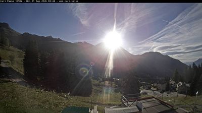
实时摄像头
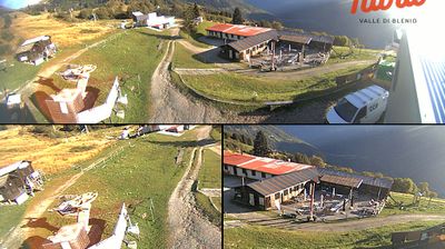

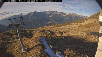
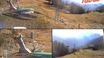

开放缆车: 0%
积雪报告
- 过去24小时: 0 厘米
- 过去72小时: 0 厘米
- 过去7天: 0 厘米
- 过去7天: 山谷 0厘米 · 山腰 0厘米 · 山顶 0厘米
- 本季累计: 4.5 厘米
About Carì
A sun-drenched balcony over the Leventina Valley, where Italian flair meets rugged Swiss peaks in a quiet, family-oriented retreat.
Highlights
- Terraced sun exposure
- Ticinese stone architecture
- Family-friendly slopes
- Panoramic valley views
Key Facts
- Altitude: 1638m
- Top lift: 2280m
- Ski pistes: 20km
- Ski lifts: 4
- Population: 12
- Lakes nearby: 30
- MTB trails: 225.7km
- Mountain huts: 19
Ski Area
Weather and 10-day forecast for Carì
- Today: 6 to 13 °C, clear sky, 12 h of sunshine
- Freezing level today: about 3921 m (3760 to 4080 m)
| Day | Min / max | Sky | Precipitation | Sunshine |
|---|---|---|---|---|
| 9月22日周二 | 6 / 13 °C | clear sky | dry | 12 h sun |
| 9月23日周三 | 4 / 16 °C | clear sky | dry | 12 h sun |
| 9月24日周四 | 6 / 14 °C | overcast | dry | 4 h sun |
| 9月25日周五 | 4 / 14 °C | clear sky | dry | 11 h sun |
| 9月26日周六 | 6 / 15 °C | partly cloudy | dry | 6 h sun |
| 9月27日周日 | 7 / 15 °C | clear sky | dry | 11 h sun |
| 9月28日周一 | 7 / 15 °C | clear sky | dry | 11 h sun |
| 9月29日周二 | 7 / 15 °C | clear sky | dry | 12 h sun |
| 9月30日周三 | 3 / 15 °C | partly cloudy | dry | 6 h sun |
| 10月1日周四 | 7 / 16 °C | drizzle | dry | 1 h sun |
Things to do in Carì
Hikes nearby — Carì (20)
20+ curated hiking trails around Carì, sourced from OpenStreetMap and enriched with distance, elevation gain and difficulty.
-
Trans Swiss Trail
-
Strada Alta
The Strada Alta Leventina threads along the mountainside between Airolo and Biasca, passing through chestnut forests, small villages, and old Romanesque churches decorated with frescoes. The terrain alternates between mountain trails and hamlets whose architecture carries a distinctly Valser character rather than the stone rustici typical of southern Ticino.
-
Strada Bassa
-
ViaGottardo
-
Trans Swiss Trail
Considered the most beautiful section of the Strada Alta Leventina, this stage winds through mountain slopes, chestnut forests, and clearings, passing the hamlet of Figgione with its 13th-century church and the Church of San Martino in Calonico, distinguished by a Romanesque bell tower. The route crosses the Ri del Ri and Ri di Sciresa streams and runs high above the dramatic Biaschina Gorge.
-
Bassa di Nara Molare
-
02 Via Alta del Sole
-
Rifugio Gana Rossa - Alpe Carorescio
The route climbs the southern slope of the Leventina past Lago di Carì, tucked among the mountains beneath Pizzo Campello and the Cima di Gana Rossa, before reaching the small, unguarded stone refuge owned by the Utoe Pizzo Molare. Along the way, a stretch nicknamed *il sentiero del montanaro* — the mountaineer's path — passes through a larch forest and carries signed information about the region's wildlife.
-
Calonico - Tengia
markierter Wanderweg
-
03 Via Alta del Sole
-
Ai Pini-Passo Sole
-
Prugiasco - Bassa di Nara
-
11-Sentiero dei passi alpini
-
ViaGottardo
-
12-Sentiero dei passi alpini
-
ViaGottardo: 5227 - Lavorgo Stazione
-
Trans Swiss Trail: Osco - Anzonico/S. Antonio
-
Alpenpässe-Weg: Cap. Bovarina UTOE - Cap. Cadagno
-
Trans Swiss Trail: Airolo Stazione - Osco
-
ViaGottardo: Airolo FFS - 5227
Mountain biking near Carì
- Carì Bike
- Sentiero Alto Blenio
Getting to Carì
Door-to-door travel times as used by the MR. ALPS ranking.
- Nearest airport: Milan Malpensa International Airport (MXP), 96 km away, about 2h05 by road
- Luzern: 1h35 by car, 107 km
- Milano: 2h02 by car, 154 km
- Zürich: 2h05 by car, 144 km
- Basel: 2h38 by car, 201 km
- Biel/Bienne: 2h48 by car, 214 km
- Bern: 2h49 by car, 216 km
Where to stay in Carì
40 places to stay for a night on 2026-09-25, from 167 EUR per night, median 251 EUR. Prices are direct with hotels and destinations, compared live on the Carì page.