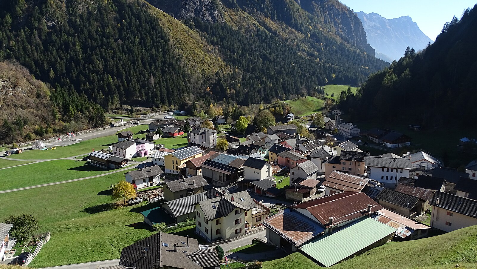
Campo Blenio
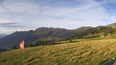
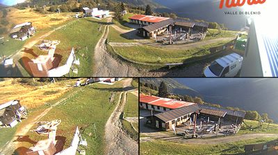
实时摄像头
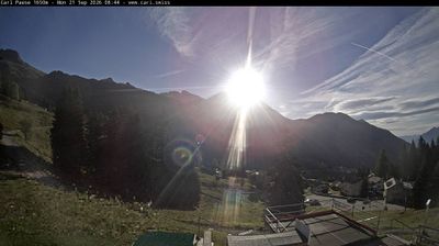
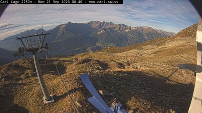
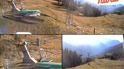
开放缆车: 0%
积雪报告
- 过去24小时: 0 厘米
- 过去72小时: 0 厘米
- 过去7天: 0 厘米
- 过去7天: 山谷 0厘米 · 山腰 0厘米 · 山顶 0厘米
- 本季累计: 5.6 厘米
About Campo Blenio
A quiet Ticinese sun-trap where Italian-speaking charm meets gentle slopes, perfect for families seeking a low-key winter escape.
Highlights
- Family-oriented slopes
- Ticinese stone architecture
- Sunny microclimate
- Unpretentious atmosphere
Key Facts
- Altitude: 1321m
- Top lift: 1578m
- Ski pistes: 2km
- Ski lifts: 3
- Population: 76
- Lakes nearby: 17
- MTB trails: 133.6km
- Mountain huts: 15
Ski Area
Weather and 10-day forecast for Campo Blenio
- Today: 9 to 19 °C, partly cloudy, 7 h of sunshine
- Freezing level today: about 4238 m (4110 to 4400 m)
| Day | Min / max | Sky | Precipitation | Sunshine |
|---|---|---|---|---|
| 9月20日周日 | 9 / 19 °C | partly cloudy | dry | 7 h sun |
| 9月21日周一 | 11 / 19 °C | overcast | dry | 3 h sun |
| 9月22日周二 | 10 / 18 °C | clear sky | dry | 12 h sun |
| 9月23日周三 | 8 / 15 °C | clear sky | dry | 11 h sun |
| 9月24日周四 | 10 / 17 °C | partly cloudy | dry | 6 h sun |
| 9月25日周五 | 11 / 19 °C | overcast | dry | 2 h sun |
| 9月26日周六 | 11 / 21 °C | clear sky | dry | 11 h sun |
| 9月27日周日 | 9 / 16 °C | overcast | dry | 1 h sun |
| 9月28日周一 | 9 / 19 °C | clear sky | dry | 12 h sun |
| 9月29日周二 | 6 / 19 °C | clear sky | dry | 12 h sun |
Things to do in Campo Blenio
Hikes nearby — Campo Blenio (20)
20+ curated hiking trails around Campo Blenio, sourced from OpenStreetMap and enriched with distance, elevation gain and difficulty.
-
Zervreila - Diga del Luzzone
Zervreila->2:25->Lampetsch Alp->4:40->Luzzone->5:05->Lampetsch Alp->2:19->Zervreila
-
10-Via Alta Crio
-
Campo Blenio - Passo del Lucomagno
-
Campo Blenio - Passo del Lucomagno
-
10-Sentiero dei passi alpini
-
11-Sentiero dei passi alpini
This trail follows the Alpenpässe-Weg Nr. 6 (Sentiero dei passi alpini) from Campo Blenio through a beautiful larch forest and past the picturesque hamlet of Ronco di Gualdo, climbing into the Val di Campo toward the Passo di Gana Negra at 2430 m, where black boulders mark the pass and views open onto the Rheinwaldhorn — the highest peak in Ticino — and the massive dam wall of Lago di Luzzone.
-
Olivone - Campo Blenio
-
Olivone - Diga del Luzzone
-
Olivone - Compietto
-
Camperio/Ospizio - Olivone
-
Larecc - Diga del Luzzone
-
Dötra - Camperio
-
Campo Blenio - Capanna Scaletta
-
Capanna Bovarina - Lago Retico
The trail begins past the Capanna Bovarina hut at 1870m and climbs to Lago Retico, an alpine lake set at the foot of the surrounding peaks. It is a loop route through the Swiss Alps of Campo Blenio, Ticino.
-
Diga di Luzzone - Capanna Adula CAS
-
Via Alta Carassina
-
Ponto Aquilesco
-
07-Via Alta Crio
-
Sentiero naturalistico Lucomagno 5
-
09-Via Alta Crio
Mountain biking near Campo Blenio
- Bovarino Bike
- Strada Vecchia del Sosto
- Bovarina Bike
Getting to Campo Blenio
Door-to-door travel times as used by the MR. ALPS ranking.
- Nearest airport: Lugano Airport (LUG), 61 km away, about 1h06 by road
- Milano: 2h by car, 151 km
- Luzern: 2h02 by car, 147 km
- Zürich: 2h32 by car, 184 km
- Brescia: 2h51 by car, 237 km
- Basel: 3h05 by car, 241 km
- Torino: 3h14 by car, 271 km
Where to stay in Campo Blenio
12 places to stay for a night on 2026-09-25, from 139 EUR per night, median 305 EUR. Prices are direct with hotels and destinations, compared live on the Campo Blenio page.