Brandlwiese – Kaumberg
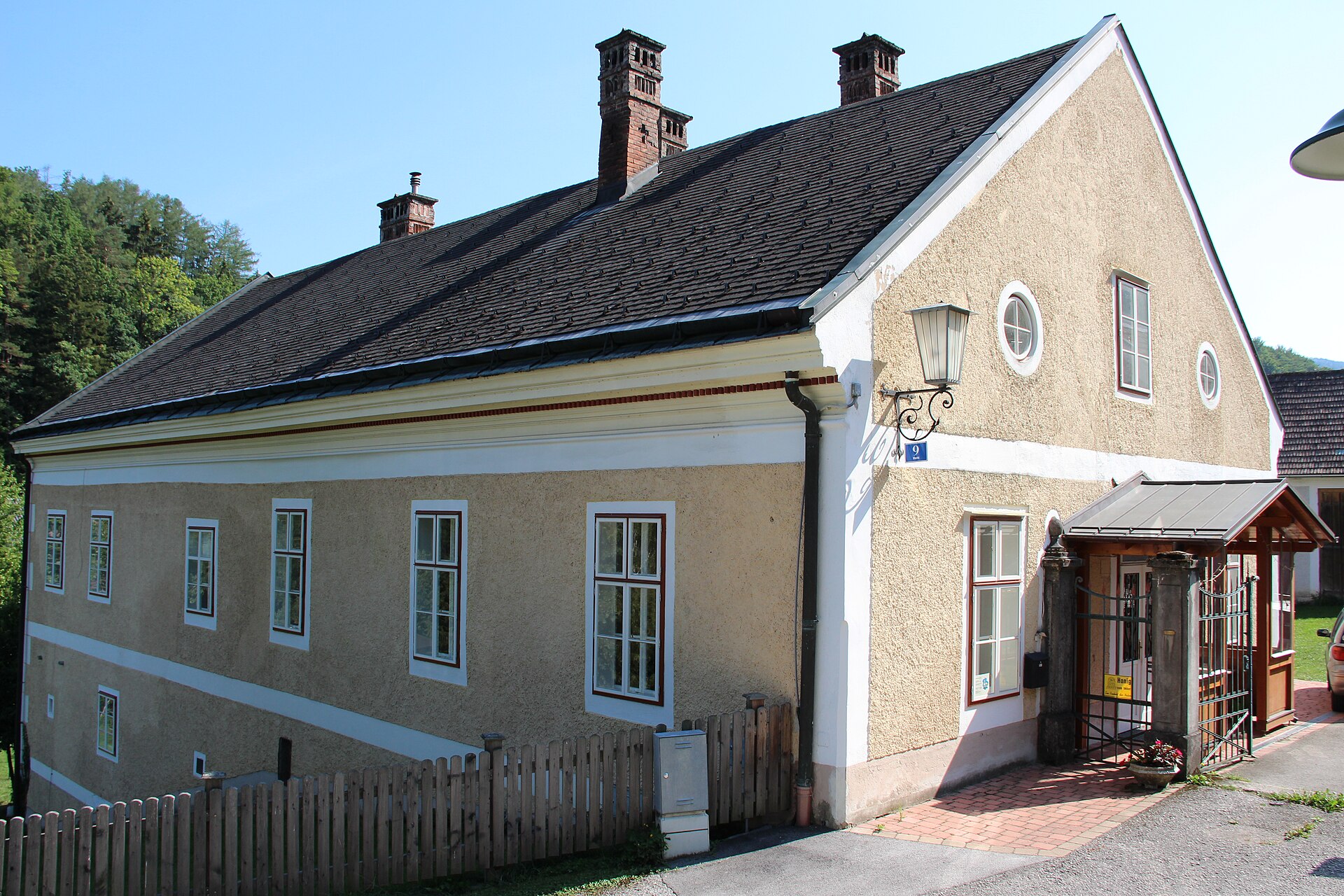
实时摄像头
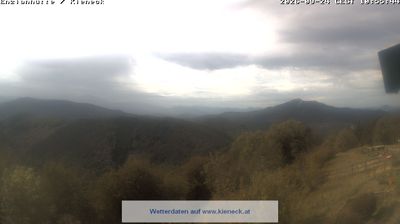
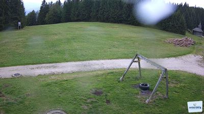
开放缆车: 0%
积雪报告
- 过去24小时: 0 厘米
- 过去72小时: 0 厘米
- 过去7天: 0 厘米
- 过去7天: 山谷 0厘米 · 山腰 0厘米 · 山顶 0厘米
- 本季累计: 0 厘米
About Brandlwiese – Kaumberg
A nostalgic weekend escape for Vienna’s families, defined by its gentle slopes and the unpretentious hospitality of the Lower Austrian hills.
Highlights
- Family-friendly atmosphere
- Viennese weekend retreat
- Traditional cider culture
- Gentle beginners' terrain
Key Facts
- Altitude: 498m
- Top lift: 580m
- Ski pistes: 1km
- Ski lifts: 1
- Population: 1,073
- MTB trails: 201.3km
- Mountain huts: 14
Ski Area
Weather and 10-day forecast for Brandlwiese – Kaumberg
- Today: 7 to 19 °C, clear sky, 12 h of sunshine
- Freezing level today: about 3643 m (3230 to 3900 m)
| Day | Min / max | Sky | Precipitation | Sunshine |
|---|---|---|---|---|
| 9月26日周六 | 7 / 19 °C | clear sky | dry | 12 h sun |
| 9月27日周日 | 8 / 19 °C | clear sky | dry | 10 h sun |
| 9月28日周一 | 9 / 21 °C | clear sky | dry | 12 h sun |
| 9月29日周二 | 12 / 20 °C | clear sky | dry | 12 h sun |
| 9月30日周三 | 10 / 19 °C | clear sky | dry | 12 h sun |
| 10月1日周四 | 7 / 16 °C | clear sky | dry | 8 h sun |
| 10月2日周五 | 9 / 19 °C | clear sky | dry | 9 h sun |
| 10月3日周六 | 9 / 21 °C | clear sky | dry | 12 h sun |
| 10月4日周日 | 12 / 19 °C | clear sky | dry | 12 h sun |
| 10月5日周一 | 8 / 12 °C | drizzle | dry | 0 h sun |
Things to do in Brandlwiese – Kaumberg
Hikes nearby — Brandlwiese – Kaumberg (20)
20+ curated hiking trails around Brandlwiese – Kaumberg, sourced from OpenStreetMap and enriched with distance, elevation gain and difficulty.
-
Voralpenweg 04 (Südroute)
-
Fuchsweg (Kaumberg - Jura - Grub - Ederhof - Haltestelle Kaumberg)
-
Erweiterter Schneerosenweg
-
Kaumberg - Veiglkogel
-
Kaumberg - Annaquelle - Weitwanderweg 404
ÖTK-Sektion Triestingtal
-
Hahnweg
Kaumberg - Hagerhof - Steinbacher - Rotes Kreuz - Promenade
-
Kaumberg - Höfnerhaus
-
Kaumberg - Hocheck Schutzhaus
-
Froschweg
Kaumberg - Höfnerhaus - Campingplatz - Gänswoad - Promenade
-
Kaumberg - Ramsau
-
Hirschweg (Kaumberg - Gerichtsberg - Bramerkapelle - Großreith)
-
Kaumberg - Araburg - Kollmannhof - Brennhof - zurück
-
Hocheck -Hochriegel - Veigelkogel
-
Forellenhof Böck (Höfnergraben) - Brunntal - Harras Furth
-
Wittmann (Ramsaubach) - Mariental - Araburg
-
Kaumberg - St. Corona - Schöpfl (Matraswarte)
-
Thenneberg - Reisberg Rundwanderweg
-
Thenneberg (Dornau) - Hocheck Schutzhaus
-
Hainfeld - Araburg
-
Weißenbach a.d. Triesting - Wolfsgrube - Veiglkogel
Mountain biking near Brandlwiese – Kaumberg
- Klammhöhestrecke
- Steinwandklamm-Strecke
- Schöpfelstrecke
- Laaben-Strecke
- St. Corona-Strecke
- Riesenbachstrecke
- Panoramarunde Pernitz - Laferlstein - Riegelhof - Waxeneck - Betsteig - Muggendorf - Pernitz
- Hafnerbergstrecke
Getting to Brandlwiese – Kaumberg
Door-to-door travel times as used by the MR. ALPS ranking.
- Nearest airport: Vienna International Airport (VIE), 51 km away, about 59 min by road
- Wien: 46 min by car, 49 km
- Graz: 2h18 by car, 190 km
- München: 4h14 by car, 389 km
- Nürnberg: 4h56 by car, 483 km
- Innsbruck: 5h03 by car, 460 km
- Stuttgart: 6h20 by car, 608 km
Where to stay in Brandlwiese – Kaumberg
11 places to stay for a night on 2026-10-02, from 125 EUR per night, median 131 EUR. Prices are direct with hotels and destinations, compared live on the Brandlwiese – Kaumberg page.