Brandenberg
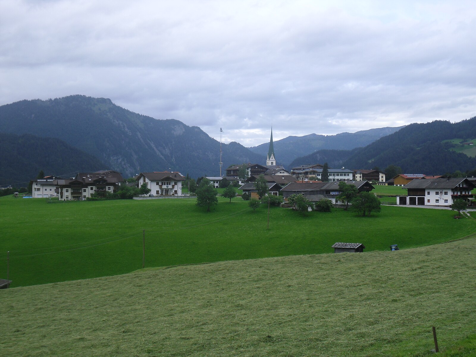
实时摄像头

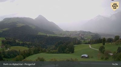
开放缆车: 0%
积雪报告
- 过去24小时: 0 厘米
- 过去72小时: 0 厘米
- 过去7天: 0 厘米
- 过去7天: 山谷 0厘米 · 山腰 0厘米 · 山顶 0厘米
- 本季累计: 0 厘米
About Brandenberg
A secluded Tyrolean enclave where the legendary Prügeltorte cake and wild river gorges define a slow-paced, traditional lifestyle.
Highlights
- Traditional Prügeltorte baking
- Wild river gorges
- Untouched Tyrolean charm
- Quiet mountain solitude
Key Facts
- Altitude: 916m
- Top lift: 982m
- Ski lifts: 1
- Population: 1,523
- Lakes nearby: 10
- MTB trails: 319.8km
- Mountain huts: 9
Ski Area
Weather and 10-day forecast for Brandenberg
- Today: 5 to 15 °C, clear sky, 13 h of sunshine
- Freezing level today: about 2663 m (2320 to 2950 m)
| Day | Min / max | Sky | Precipitation | Sunshine |
|---|---|---|---|---|
| 9月22日周二 | 5 / 15 °C | clear sky | dry | 13 h sun |
| 9月23日周三 | 5 / 16 °C | clear sky | dry | 12 h sun |
| 9月24日周四 | 6 / 15 °C | rain showers | dry | 2 h sun |
| 9月25日周五 | 4 / 14 °C | clear sky | dry | 10 h sun |
| 9月26日周六 | 6 / 19 °C | clear sky | dry | 12 h sun |
| 9月27日周日 | 9 / 21 °C | clear sky | dry | 9 h sun |
| 9月28日周一 | 10 / 22 °C | partly cloudy | dry | 6 h sun |
| 9月29日周二 | 10 / 23 °C | clear sky | dry | 11 h sun |
| 9月30日周三 | 9 / 23 °C | partly cloudy | dry | 5 h sun |
| 10月1日周四 | 10 / 22 °C | overcast | dry | 1 h sun |
Things to do in Brandenberg
Hikes nearby — Brandenberg (9)
9 curated hiking trails around Brandenberg, sourced from OpenStreetMap and enriched with distance, elevation gain and difficulty.
-
E4 (alpin) Fernwanderweg (Bereich Rofan)
Der Europäische Fernwanderweg E4 ist Teil des europäischen Wanderwegnetzes und soll den südwestlichsten Punkt des europäischen Kontinents in einem großen Bogen durch das westliche Mitteleuropa mit der im Südosten liegenden Insel Zypern verbinden. Der E4 ist mit einer Gesamtlänge von ungefähr 12.090 Kilometern bei weitem der längste aller Europäischen Fernwanderwege.
-
AV Weg 411
-
Adlerweg Etappe 6
Gasthof Gwercherwirt (Pinegg) - Steinberg am Rofan
-
Adlerweg Etappe 5
Gasthof Buchacker - Gasthof Gwercherwirt (Pinegg)
-
Brandenbergvariante - Alternative zum Nordalpenweg 01 in den Brandenberger Alpen
-
Heilwasserweg
From the Inn riverbank at Rattenberg's eastern city gate, the trail threads past a Kneipp facility at a former log-floating site, a Baroque basilica at Mariathal, and a forested panoramic path to Pulvererhof — where the Kramsach lake plateau (Frauensee, Buchsee, Krummsee, Reintalersee) and the Inn Valley spread out below.
-
Wanderweg 16
-
Burgenweg
-
A27
Mountain biking near Brandenberg
- Holzknecht-uphill Trail
- Stiag
- Hasatalstraße
Getting to Brandenberg
Door-to-door travel times as used by the MR. ALPS ranking.
- Nearest airport: Innsbruck Airport (INN), 49 km away, about 50 min by road
- Innsbruck: 47 min by car, 54 km
- München: 1h34 by car, 129 km
- Bolzano - Bozen: 2h13 by car, 169 km
- Trento: 2h44 by car, 225 km
- Nürnberg: 3h03 by car, 298 km
- Verona: 3h42 by car, 320 km
Where to stay in Brandenberg
115 places to stay for a night on 2026-09-25, from 139 EUR per night, median 213 EUR. Prices are direct with hotels and destinations, compared live on the Brandenberg page.