Bosco Gurin – Grossalp
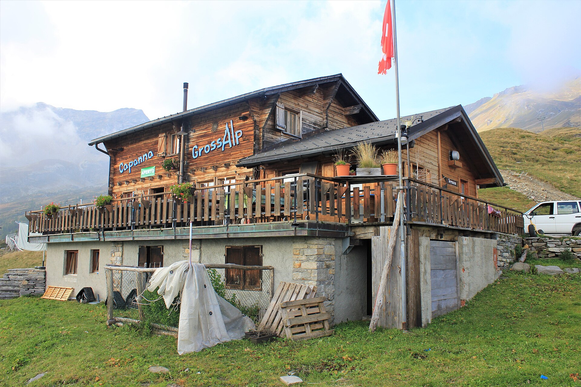
About Bosco Gurin – Grossalp
A rare Walser enclave in Italian-speaking Ticino, defined by its stone-roofed architecture and isolated, sun-drenched silence.
Highlights
- Walser heritage
- Stone-slab houses
- Ticinese-German dialect
- Remote high-altitude charm
Key Facts
- Altitude: 1503m
- Top lift: 2331m
- Ski pistes: 30km
- Ski lifts: 7
- Population: 60
- Lakes nearby: 38
- Mountain huts: 17
Ski Area
Weather and 10-day forecast for Bosco Gurin – Grossalp
- Today: 9 to 18 °C, partly cloudy, 7 h of sunshine
- Freezing level today: about 4301 m (4190 to 4510 m)
| Day | Min / max | Sky | Precipitation | Sunshine |
|---|---|---|---|---|
| 9月20日周日 | 9 / 18 °C | partly cloudy | dry | 7 h sun |
| 9月21日周一 | 11 / 17 °C | overcast | dry | 1 h sun |
| 9月22日周二 | 9 / 15 °C | clear sky | dry | 12 h sun |
| 9月23日周三 | 7 / 13 °C | partly cloudy | dry | 6 h sun |
| 9月24日周四 | 9 / 17 °C | clear sky | dry | 9 h sun |
| 9月25日周五 | 10 / 16 °C | overcast | dry | 1 h sun |
| 9月26日周六 | 8 / 17 °C | clear sky | dry | 12 h sun |
| 9月27日周日 | 6 / 13 °C | overcast | dry | 1 h sun |
| 9月28日周一 | 5 / 16 °C | clear sky | dry | 12 h sun |
| 9月29日周二 | 1 / 17 °C | drizzle | dry | 2 h sun |
Things to do in Bosco Gurin – Grossalp
Hikes nearby — Bosco Gurin – Grossalp (20)
20+ curated hiking trails around Bosco Gurin – Grossalp, sourced from OpenStreetMap and enriched with distance, elevation gain and difficulty.
-
Walserweg Gottardo - Etappe 6
-
Walserweg Gottardo - Etappe 5
-
G00 - Via del Gries da Baceno a Ponte (seconda sezione)
The route follows beautiful mule tracks and country lanes within the hamlets. It does not present particular difficulties and is on well-marked paths
-
12 - Capanna Grossalp - Cimalmotto
-
G98a - Bivio G98 - Hendar Furggu
-
G98 - Fondovalle - Guriner Furggu
-
G14 - Foppiano - Alpe Cramec
Path that from Foppiano leads to Alpe Cramec and the homonymous lake, through Alpe Croce
-
11 Capanna Piano delle Creste - Capanna Grossalp
For long stretches, the trail between Piano delle Creste and Capanna Grossalp is little more than an imaginary line — marked by blue-and-white signs through rocky terrain and vast boulder fields where it is virtually impossible to leave footprints. You move through what feels like a forgotten landscape, remarkable for its variety of shades, shapes, and surfaces.
-
13 - Cimalmotto - Capanna Ribia
-
L98 - Rifugio Sironi - Passo della Fria - Confine Svizzero
-
G27 - Le Casse - Passo del Muretto
-
L99 - Rifugio Sironi - Bocchetta del Lago Gelato
-
L03 - Ponte Faugiol - Cappella della Croce
-
G30 - Cagiogno - Aleccio
From Cagiogno, by mule track, to the beautiful Bee mountain pasture from which, by a path that is exposed at times on the hillside, you reach the Aloro mountain pasture. Following a forest road, you reach the equipped area of Piana di Aleccio
-
G04 - Crodo - Passo della Forcoletta
Route from Altoggio onwards on an interesting historical mule track still used by herds heading to Alpe Cravariola, unfortunately the road to Altoggio is private and it is recommended to combine it with an (electric) bike to enjoy the trip
-
Walserweg Gottardo: Ponte (I) - Bosco Gurin
-
Walserweg Gottardo: Bosco Gurin - Bignasco fermata FART
-
Sentiero Cristallina: Bignasco fermata FART - S. Carlo
-
Walserweg Gottardo: Rif. Zum Gora - Rif. Margaroli CAI (I)
-
Walserweg Gottardo: Bignasco fermata FART - Cap. Basodino
Mountain biking near Bosco Gurin – Grossalp
- Nuova Strada Anas 424 ex Strada Statale 659 di Valle Antigorio e Val Formazza
Getting to Bosco Gurin – Grossalp
Door-to-door travel times as used by the MR. ALPS ranking.
- Nearest airport: Milan Malpensa International Airport (MXP), 79 km away, about 2h41 by road
- Milano: 2h56 by car, 163 km
- Luzern: 3h28 by car, 211 km
- Brescia: 3h47 by car, 249 km
- Torino: 3h57 by car, 237 km
- Zürich: 3h58 by car, 248 km
- Genova: 4h21 by car, 297 km