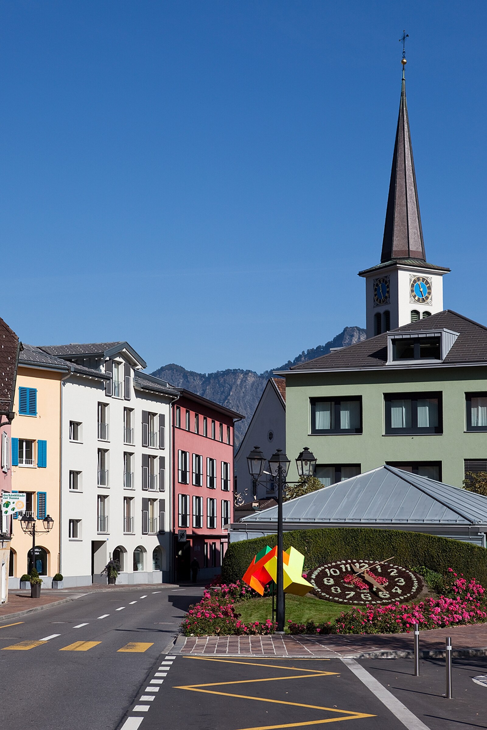
Bad Ragaz
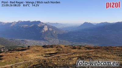
实时摄像头

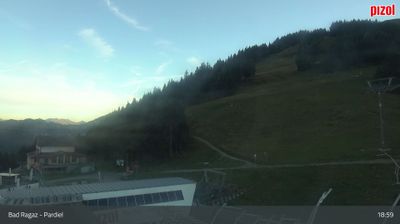
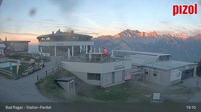
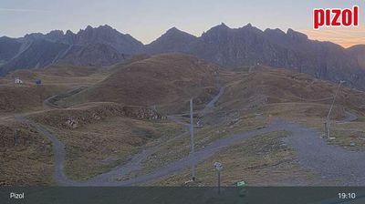

开放缆车: 0/12
积雪报告
- 过去24小时: 0 厘米
- 过去72小时: 0 厘米
- 过去7天: 0 厘米
- 过去7天: 山谷 0厘米 · 山腰 0厘米 · 山顶 0厘米
- 本季累计: 0 厘米
About Bad Ragaz
A refined wellness enclave where elite travelers seek the restorative powers of legendary thermal springs and five-star grand hotels.
Highlights
- Healing thermal waters
- Grand hotel culture
- Michelin-starred dining
- Luxury medical retreats
Key Facts
- Altitude: 508m
- Top lift: 2227m
- Ski pistes: 50km
- Ski lifts: 12
- Population: 6,467
- Lakes nearby: 14
- MTB trails: 322.6km
- Mountain huts: 10
Ski Area
Weather and 10-day forecast for Bad Ragaz
- Today: 6 to 15 °C, clear sky, 12 h of sunshine
- Freezing level today: about 3855 m (3220 to 4180 m)
| Day | Min / max | Sky | Precipitation | Sunshine |
|---|---|---|---|---|
| 9月25日周五 | 6 / 15 °C | clear sky | dry | 12 h sun |
| 9月26日周六 | 10 / 19 °C | clear sky | dry | 12 h sun |
| 9月27日周日 | 11 / 20 °C | clear sky | dry | 12 h sun |
| 9月28日周一 | 13 / 21 °C | partly cloudy | dry | 7 h sun |
| 9月29日周二 | 13 / 21 °C | partly cloudy | dry | 8 h sun |
| 9月30日周三 | 12 / 20 °C | overcast | dry | 4 h sun |
| 10月1日周四 | 11 / 21 °C | clear sky | dry | 10 h sun |
| 10月2日周五 | 8 / 12 °C | rain showers | dry | 0 h sun |
| 10月3日周六 | 6 / 18 °C | clear sky | dry | 7 h sun |
| 10月4日周日 | 6 / 17 °C | drizzle | dry | 6 h sun |
Things to do in Bad Ragaz
Hikes nearby — Bad Ragaz (20)
20+ curated hiking trails around Bad Ragaz, sourced from OpenStreetMap and enriched with distance, elevation gain and difficulty.
-
WALSA-Weg - Etappe 2
-
WALSA-Weg - Etappe 1
From Bad Ragaz — where thermal waters have flowed since 1840 — the route climbs through open mixed forest past the walkable ruins of Freudenberg castle, opening onto sweeping views across the Rhine valley and the Graubünden mountain world. The final ascent threads through the Valeistobel gorge, crossing seven bridges before reaching the hamlet of Garschlu.
-
Via Alpina
-
Garmil-Höhenwanderung
-
Heidipfad
-
Rütiwald - Garschlu
-
5-Seen-Wanderung
-
Garschlu - Bad Ragaz
-
Melser Geoweg
The Melser Geoweg is a teaching trail that winds through an exceptional landscape shaped by Ice Age glaciation, where rounded rock formations called Rundhöcker and an open-air exhibition of regionally significant stones — central to the UNESCO World Natural Heritage Tectonic Arena Sardona — tell the story of the Earth's geology. The hill of Castels, rising between Mels and Flums, adds layers of human history: prehistoric fortifications, wartime artillery positions, and the traces of a once-thriving mining and quarrying industry.
-
Wildseeluggen-Baföni
三条瀑布——Piltschinabachfall(81米)、Sässbachfall(86米)和Muttenbachfall(45米)——并排跌入Batöni的岩石盆地,沿Gufelbach穿越森林和牧场即可抵达。路线经过联合国教科文组织世界自然遗产地Tektonikarena Sardona,以及以Pizol五湖徒步而闻名的高山湖泊Wildsee。
-
Sardona-Welterbe-Weg Etappe 4
-
Ploms Parmort
-
Parmort Schönhalden
-
Plons Geisswiesen
-
Sässliwiesen Parmort
-
WALSA-Weg: Bad Ragaz Bahnhof - 3923
-
Taminaschlucht Rundweg
-
Ellhorn Rundweg
-
5-Seen-Wanderung Pizol
-
Via Alpina: Sargans - Weisstannen
Mountain biking near Bad Ragaz
- Ochsenbergweg
- Alp- und Waldwege Vilters
- Neuwald
- Vitaparcours Mels - Sargans - Vilters
- Schwarzbüelweg
- Fadellaweg
- Martinsbrunnen
Getting to Bad Ragaz
Door-to-door travel times as used by the MR. ALPS ranking.
- Nearest airport: Bodensee Airport Friedrichshafen (FDH), 75 km away, about 1h40 by road
- Zürich: 1h12 by car, 100 km
- Luzern: 1h31 by car, 122 km
- Basel: 2h10 by car, 182 km
- Innsbruck: 2h35 by car, 197 km
- Biel/Bienne: 2h35 by car, 220 km
- Bern: 2h36 by car, 222 km
Where to stay in Bad Ragaz
64 places to stay for a night on 2026-10-02, from 144 EUR per night, median 314 EUR. Prices are direct with hotels and destinations, compared live on the Bad Ragaz page.