Attinghausen
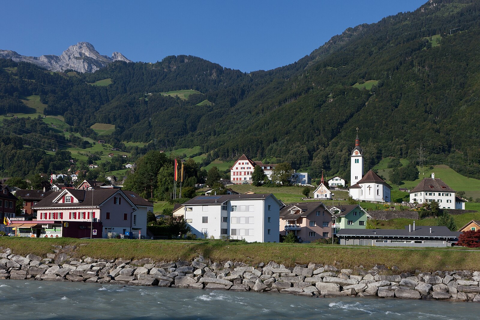
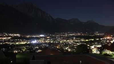
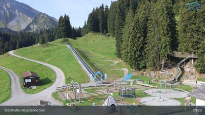
实时摄像头
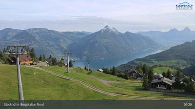
开放缆车: 0%
积雪报告
- 过去24小时: 0 厘米
- 过去72小时: 0 厘米
- 过去7天: 0 厘米
- 过去7天: 山谷 0厘米 · 山腰 0厘米 · 山顶 0厘米
- 本季累计: 0 厘米
About Attinghausen
A quiet Uri stronghold where historic cable cars ascend steep cliffs to reach rustic mountain inns and hidden hiking ridges.
Highlights
- Rustic cable cars
- Historic Uri heritage
- Steep mountain trails
- Traditional alpine inns
Key Facts
- Altitude: 1529m
- Top lift: 1601m
- Ski pistes: 2km
- Ski lifts: 4
- Population: 1,787
- Lakes nearby: 14
- MTB trails: 190km
- Mountain huts: 30
Ski Area
Weather and 10-day forecast for Attinghausen
- Today: 8 to 14 °C, clear sky, 12 h of sunshine
- Freezing level today: about 3843 m (3680 to 4020 m)
| Day | Min / max | Sky | Precipitation | Sunshine |
|---|---|---|---|---|
| 9月23日周三 | 8 / 14 °C | clear sky | dry | 12 h sun |
| 9月24日周四 | 7 / 13 °C | overcast | dry | 2 h sun |
| 9月25日周五 | 8 / 15 °C | partly cloudy | dry | 8 h sun |
| 9月26日周六 | 11 / 17 °C | clear sky | dry | 12 h sun |
| 9月27日周日 | 13 / 19 °C | clear sky | dry | 12 h sun |
| 9月28日周一 | 13 / 20 °C | clear sky | dry | 9 h sun |
| 9月29日周二 | 14 / 20 °C | clear sky | dry | 12 h sun |
| 9月30日周三 | 12 / 20 °C | partly cloudy | dry | 8 h sun |
| 10月1日周四 | 9 / 17 °C | drizzle | dry | 1 h sun |
| 10月2日周五 | 7 / 18 °C | drizzle | dry | 5 h sun |
Things to do in Attinghausen
Hikes nearby — Attinghausen (20)
20+ curated hiking trails around Attinghausen, sourced from OpenStreetMap and enriched with distance, elevation gain and difficulty.
-
Via Alpina
The trail departs Altdorf across the Reuss plain, climbing through forested ascents and open alpine terrain past waypoints including Attinghausen, Cholplatz, Höchiberg, and Brüsti before reaching the Alp Grat Hut. It unfolds within the rugged Uri Alps, where dramatic peaks, expansive meadows, and the waters of Lake Uri define the landscape.
-
Trans Swiss Trail
-
ViaGottardo
-
Trans Swiss Trail
-
ViaSuworow
-
Gottardo Wanderweg
-
Höchiberg - FIXME
markierter Wanderweg
-
Surenpass
The trail climbs from Attinghausen in the Urner Reusstal up to the Surenenpass at 2291 metres, where the massive rock faces of Blackenstock and Brunnistock loom on either side. On the Uri side, the route passes the alpine settlement of Blackenalp before descending toward Engelberg.
-
Erstfeld-Attighauser Brücke
-
Wilerli Grundbach
-
Erstfeld-Flüelen
-
Erstfeld Wilerli
-
ViaGottardo
-
Weg der Schweiz
Weg der Schweiz ist der Name der Wanderroute 99 entlang des Urnersees. Der Weg wurde 1991 zur 700-Jahr-Feier der Schweiz angelegt. Der Weg beginnt am Rütli und endet in Brunnen, ist 35 km lang und wurde von sämtlichen Schweizer Kantonen gestaltet. Jedem der Kantone wurde ein durch Grenzsteine markierter Wegabschnitt anvertraut, wobei sich dessen Länge nach der Anzahl seiner Einwohner mit 5 Millime
-
ViaSuworow
-
Via Alpina: Altdorf Tellspielhaus - Engelberg
-
Trans Swiss Trail: Chilendorf - Erstfeld
-
Weg der Schweiz: Bauen - Flüelen Bahnhof
-
ViaSuworow: Altdorf Tellspielhaus - Biel Bergstation
-
ViaGottardo: Altdorf Telldenkmal - Wassen
Mountain biking near Attinghausen
- Engelberg - Surenenpass - Erstfeld
- Gitschital Bike
- Downhill Haldi
Getting to Attinghausen
Door-to-door travel times as used by the MR. ALPS ranking.
- Nearest airport: Zürich Airport (ZRH), 69 km away, about 2h30 by road
- Luzern: 1h48 by car, 49 km
- Zürich: 2h11 by train, 77 km
- Basel: 2h51 by car, 143 km
- Biel/Bienne: 3h01 by car, 156 km
- Bern: 3h02 by car, 157 km
- Milano: 3h47 by car, 210 km
Where to stay in Attinghausen
28 places to stay for a night on 2026-09-25, from 261 EUR per night, median 263 EUR. Prices are direct with hotels and destinations, compared live on the Attinghausen page.