Anzère
实时摄像头


开放缆车: 0/12
积雪报告
- 过去24小时: 0 厘米
- 过去72小时: 0 厘米
- 过去7天: 0 厘米
- 过去7天: 山谷 0厘米 · 山腰 0厘米 · 山顶 0厘米
- 本季累计: 2.1 厘米
About Anzère
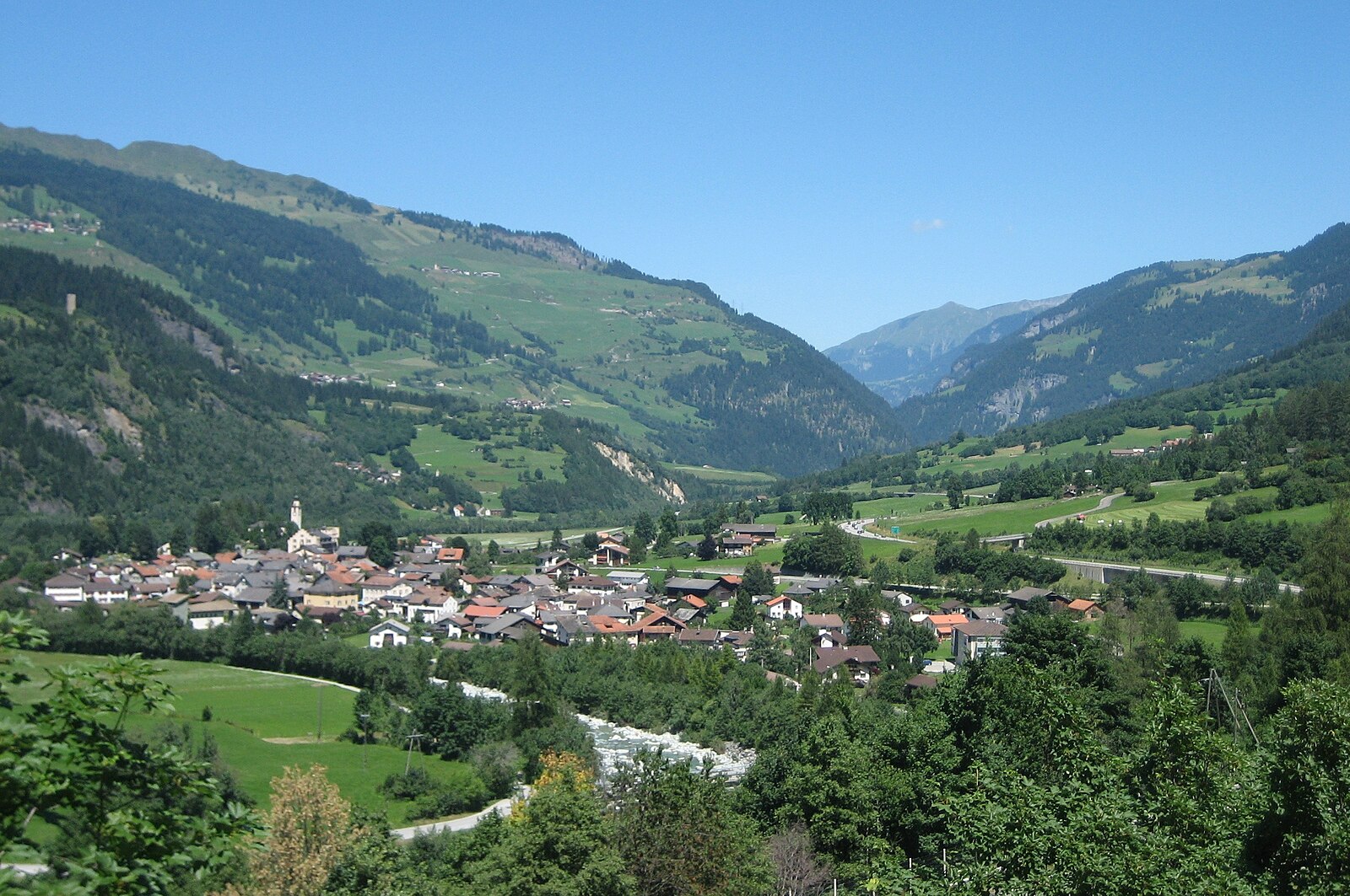
A family-oriented balcony over the Rhone Valley, known for its south-facing sunshine and car-free pedestrian village center.
Highlights
- South-facing sun terrace
- Car-free village core
- Thermal spa culture
- Panoramic valley views
Key Facts
- Altitude: 1491m
- Top lift: 2420m
- Ski pistes: 58km
- Ski lifts: 13
- Population: 300
- Lakes nearby: 28
- MTB trails: 18.7km
- Mountain huts: 16
Ski Area
已包含在以下滑雪通票中
Weather and 10-day forecast for Anzère
- Today: 9 to 16 °C, clear sky, 9 h of sunshine
- Freezing level today: about 4233 m (4090 to 4310 m)
| Day | Min / max | Sky | Precipitation | Sunshine |
|---|---|---|---|---|
| 9月20日周日 | 9 / 16 °C | clear sky | dry | 9 h sun |
| 9月21日周一 | 9 / 15 °C | overcast | dry | 2 h sun |
| 9月22日周二 | 9 / 17 °C | clear sky | dry | 12 h sun |
| 9月23日周三 | 8 / 18 °C | clear sky | dry | 12 h sun |
| 9月24日周四 | 8 / 17 °C | clear sky | dry | 10 h sun |
| 9月25日周五 | 6 / 14 °C | clear sky | dry | 12 h sun |
| 9月26日周六 | 7 / 17 °C | clear sky | dry | 12 h sun |
| 9月27日周日 | 9 / 18 °C | clear sky | dry | 12 h sun |
| 9月28日周一 | 7 / 18 °C | clear sky | dry | 12 h sun |
| 9月29日周二 | 6 / 17 °C | clear sky | dry | 12 h sun |
Things to do in Anzère
Hikes nearby — Anzère (20)
20+ curated hiking trails around Anzère, sourced from OpenStreetMap and enriched with distance, elevation gain and difficulty.
-
03-Chemin du Vignoble
-
Bisse de Bitailla
The Bisse de Bitailla, first documented in 1307, leads through the Vallo de la Sionne from the water intake at Les Évouettes to St-Romain, following a channel that runs alternately enclosed and open through the landscape via Saxonne. One of the few bisses in Valais to carry water year-round, the route follows the "Chemin des papillons" and the Tour du Gô markings along this ancient irrigation channel.
-
Bisse d'Ayent
-
Bisse de lens
-
Pra du taillour-Pas de l'ours
The route traces the Bisse du Ro — one of the Valais region's ancient irrigation channels — passing through Les Toules and Pra du Taillour before reaching the Pas de l'Ours, with a dramatic suspension bridge (Passerelle du Bisse du Ro) among the landmarks along the way.
-
Cran - Er de Chermignon (Ancien bisse du Ro)
-
Via Alpina Red R104
The Via Alpina is a network of five long-distance hiking trails across the alpine regions of Slovenia, Austria, Germany, Liechtenstein, Switzerland, Italy, France, and Monaco. The longest of the trails is the Red Trail, whose termini are in Trieste and Monaco.
-
Tour du Wildhorn
-
Bisse de Savièse (Torrent-Neuf)
-
Bisse de Savièse (Torrent-Neuf)
-
Er de Chermignon-Pra du Taillour
-
Bisse de la Tsandra
-
Bisse de la Tsandra
-
Mayens de Réchy-Brie
-
Plaine Morte-Les Violettes
-
Grand Bisse d'Ayent
-
Chemin du vignoble: 5 - Venthône
-
Bisses de Lentine et de Mont d'Orge
-
Sanetsch-Muveran-Weg: Gsteig - 120494
-
Chemin des Bisses: Nax - Vercorin
Mountain biking near Anzère
- Freeride Grand Montana
- Route de la Combe d'Arbaz
- Chemin Bisse de Sion
- Grand Bisse de Lens
- Bisse du Ro
- Chemin de Bisse d'Ayent
Getting to Anzère
Door-to-door travel times as used by the MR. ALPS ranking.
- Nearest airport: Geneva International Airport (GVA), 100 km away, about 2h10 by road
- Lausanne: 1h28 by car, 113 km
- Bern: 2h05 by car, 170 km
- Genève: 2h07 by car, 175 km
- Biel/Bienne: 2h32 by car, 209 km
- Annecy: 2h38 by car, 182 km
- Chambéry: 3h03 by car, 226 km
Where to stay in Anzère
200 places to stay for a night on 2026-09-25, from 130 EUR per night, median 235 EUR. Prices are direct with hotels and destinations, compared live on the Anzère page.