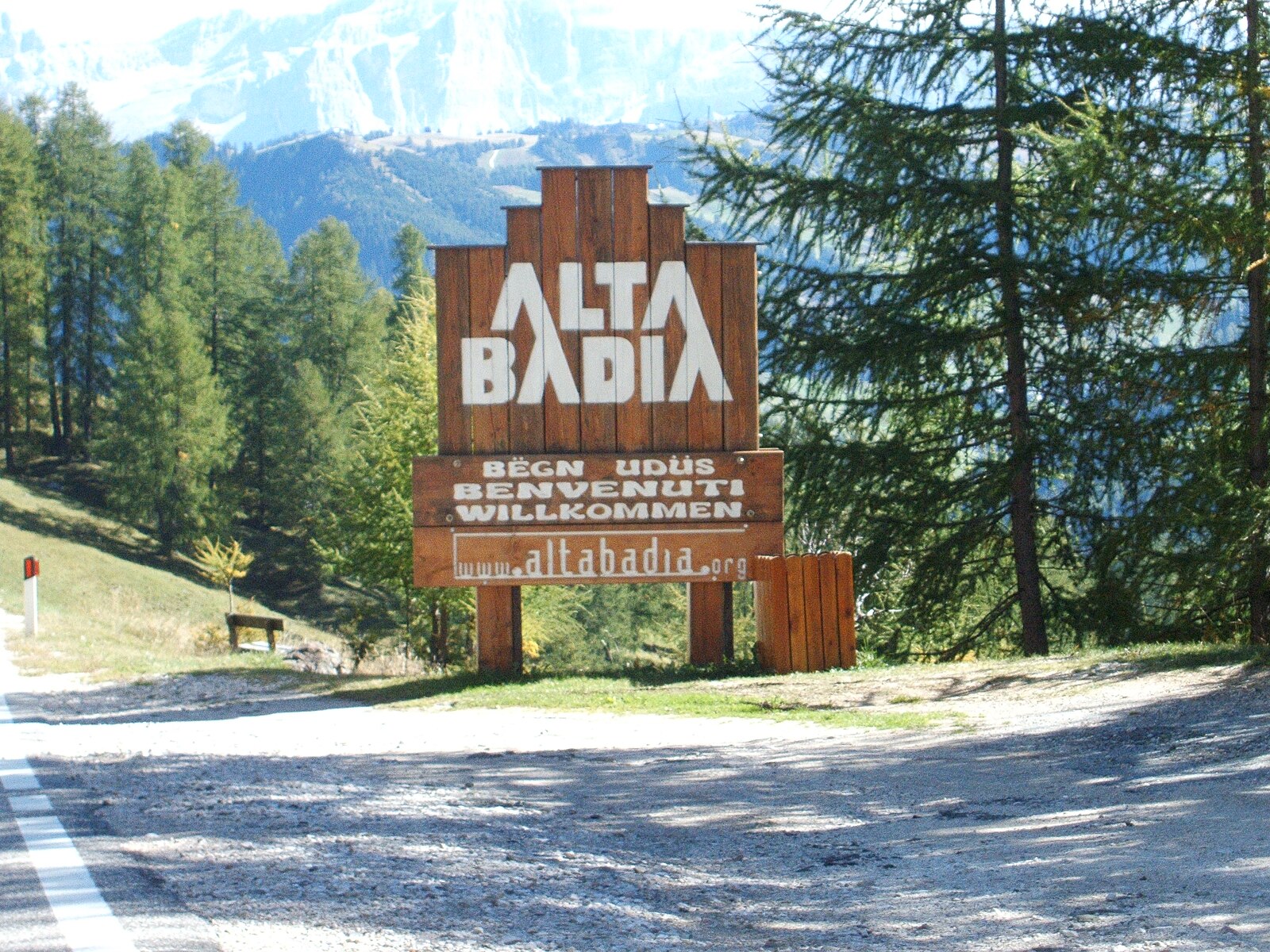
Alta Badia
实时摄像头
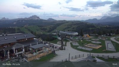
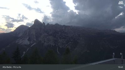
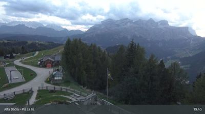
开放缆车: 0/156
积雪报告
- 过去24小时: 0 厘米
- 过去72小时: 0 厘米
- 过去7天: 0 厘米
- 过去7天: 山谷 0厘米 · 山腰 0厘米 · 山顶 0厘米
- 本季累计: 6.2 厘米
About Alta Badia
A Ladin stronghold where Michelin-starred dining meets the dramatic pink hues of the Dolomites for a refined, slow-paced ski experience.
Highlights
- Ladin culinary heritage
- Gourmet mountain huts
- Panoramic plateau cruising
- Sellaronda circuit access
Key Facts
- Altitude: 1423m
- Top lift: 2778m
- Ski pistes: 350km
- Ski lifts: 156
- Population: 6,000
- Lakes nearby: 9
- MTB trails: 227.8km
- Mountain huts: 59
Ski Area
Sella Ronda – Alta Badia/Arabba-Marmolada/Val Gardena-Gröden/Canazei
已包含在以下滑雪通票中
Weather and 10-day forecast for Alta Badia
- Today: 5 to 16 °C, partly cloudy, 8 h of sunshine
- Freezing level today: about 4072 m (3760 to 4280 m)
| Day | Min / max | Sky | Precipitation | Sunshine |
|---|---|---|---|---|
| 9月20日周日 | 5 / 16 °C | partly cloudy | dry | 8 h sun |
| 9月21日周一 | 5 / 14 °C | overcast | dry | 4 h sun |
| 9月22日周二 | 2 / 10 °C | clear sky | dry | 13 h sun |
| 9月23日周三 | 1 / 11 °C | clear sky | dry | 12 h sun |
| 9月24日周四 | 4 / 11 °C | clear sky | dry | 12 h sun |
| 9月25日周五 | 4 / 14 °C | overcast | dry | 1 h sun |
| 9月26日周六 | 5 / 16 °C | clear sky | dry | 11 h sun |
| 9月27日周日 | 5 / 15 °C | overcast | dry | 3 h sun |
| 9月28日周一 | 7 / 16 °C | clear sky | dry | 11 h sun |
| 9月29日周二 | 6 / 16 °C | clear sky | dry | 11 h sun |
Things to do in Alta Badia
Hikes nearby — Alta Badia (16)
16 curated hiking trails around Alta Badia, sourced from OpenStreetMap and enriched with distance, elevation gain and difficulty.
-
Dolomites World Heritage Geotrail 12
-
Dolomites World Heritage Geotrail 13
-
Tru do l'ega
The Tru do l'ega (Water Trail) follows a lively mountain stream, linking Corvara and Badia through the Alta Badia landscape.
-
Tru di Artisc
-
Tru di Lëc
-
Tru dles Viles
This easy loop threads through woods and meadows between La Villa and Badia, passing traditional Ladin farmhouses. Along the way it visits Oies, where the birthplace of Saint Josef Freinademetz stands as a landmark of local cultural heritage.
-
Tru Panoramic
-
Ferata dla Crusc - Heiligkreuzkofelsteig - Ferrata Monte Cavallo
-
Via Crucis d'La Val - Kreuzweg
-
Tru dl Fër
-
Tru dles Cascades
-
Roda de Armentara
Sunny alpine meadows at the foot of Sas dla Crusc unfold along this mostly flat snowshoe circuit, passing the Ranch de Anrdé lodge and the hollow of Valgiarëi before looping back through Arciara. In late spring, the Armentara Meadows burst with crocus blossom and a great variety of alpine flowers within the Fanes-Senes-Braies Nature Park.
-
Tru di Pra
-
Dolomites World Heritage Geotrail 43
-
Dolomites World Heritage Geotrail 42
-
Adolf Munkel Weg - Via delle Odle
Mountain biking near Alta Badia
- MTB Fanes-Tour
- MTB Fanes-Senes-Tour
Getting to Alta Badia
Door-to-door travel times as used by the MR. ALPS ranking.
- Nearest airport: Innsbruck Airport (INN), 87 km away, about 2h14 by road
- Bolzano - Bozen: 1h21 by car, 68 km
- Trento: 1h53 by car, 124 km
- Innsbruck: 1h57 by car, 130 km
- Padova: 2h42 by car, 212 km
- Verona: 2h51 by car, 219 km
- Brescia: 3h22 by car, 255 km
Where to stay in Alta Badia
200 places to stay for a night on 2026-09-25, from 102 EUR per night, median 140 EUR. Prices are direct with hotels and destinations, compared live on the Alta Badia page.