Abondance
实时摄像头
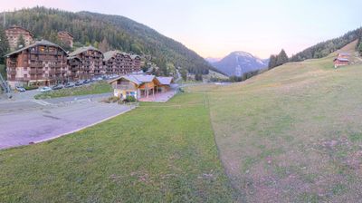

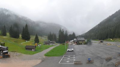
开放缆车: 0%
积雪报告
- 过去24小时: 0 厘米
- 过去72小时: 0 厘米
- 过去7天: 0 厘米
- 过去7天: 山谷 0厘米 · 山腰 0厘米 · 山顶 0厘米
- 本季累计: 0.1 厘米
About Abondance
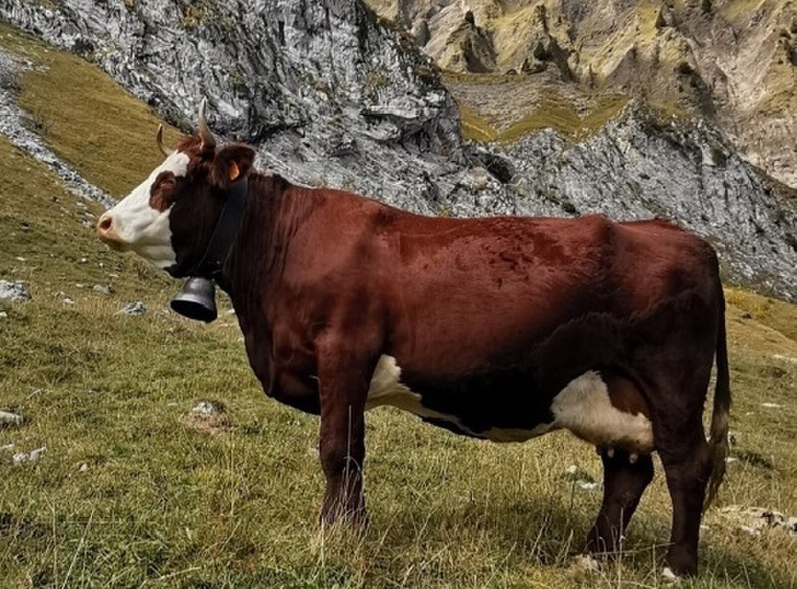
A rustic Savoyard sanctuary defined by its medieval abbey and the pungent, nutty aroma of its eponymous farmhouse cheese.
Highlights
- Monastic heritage
- Artisanal cheesemaking
- Traditional wooden chalets
- Quiet mountain living
Key Facts
- Altitude: 1240m
- Top lift: 1730m
- Ski pistes: 15km
- Ski lifts: 8
- Population: 1,536
- Lakes nearby: 17
- MTB trails: 71.3km
- Mountain huts: 11
Ski Area
已包含在以下滑雪通票中
Weather and 10-day forecast for Abondance
- Today: 10 to 16 °C, partly cloudy, 5 h of sunshine
- Freezing level today: about 4183 m (4020 to 4600 m)
| Day | Min / max | Sky | Precipitation | Sunshine |
|---|---|---|---|---|
| 9月21日周一 | 10 / 16 °C | partly cloudy | dry | 5 h sun |
| 9月22日周二 | 10 / 16 °C | clear sky | dry | 12 h sun |
| 9月23日周三 | 9 / 17 °C | clear sky | dry | 12 h sun |
| 9月24日周四 | 7 / 15 °C | partly cloudy | dry | 3 h sun |
| 9月25日周五 | 4 / 17 °C | clear sky | dry | 12 h sun |
| 9月26日周六 | 8 / 19 °C | clear sky | dry | 12 h sun |
| 9月27日周日 | 11 / 21 °C | clear sky | dry | 12 h sun |
| 9月28日周一 | 12 / 22 °C | clear sky | dry | 12 h sun |
| 9月29日周二 | 13 / 22 °C | partly cloudy | dry | 6 h sun |
| 9月30日周三 | 13 / 21 °C | clear sky | dry | 12 h sun |
Things to do in Abondance
Hikes nearby — Abondance (19)
19 curated hiking trails around Abondance, sourced from OpenStreetMap and enriched with distance, elevation gain and difficulty.
-
Lac de Damoz des Moulins
A loop trail straddling the border of the Vallée d'Aulps and the Vallée d'Abondance, it threads through green alpine pastures and past old chalets before arriving at the small Lac de Damoz des Moulins, cradled at the foot of the Pic de la Corne. From the Brion mountain pasture, the route opens onto a sweeping view of Mont Blanc and the Roc d'Enfer.
-
Les Bords de Dranse
-
Tour du Mont Chauffé
-
Tour du Mont Brion
A circuit above Saint-Jean-d'Aulps that crosses two passes through verdant alpine pastures dotted with old shepherd's chalets, with views north to the Cornettes de Bise and south to the Roc d'Enfer — and a small lake, the Lac de Damoz des Moulins, nestled at the foot of the Pic de la Corne.
-
Montée au Roc de Tavaneuse
A sporting ascent to the 2156 m summit of the Roc de Tavaneuse, which commands a view of Mont Blanc. The descent brings you past the Lac de Tavaneuse, described as the most beautiful lake in the Chablais.
-
Tour des Portes du Soleil
-
De Bise à Ubine
This trail winds between alpine pastures and forests, delivering sweeping views of the mountains and the Natura 2000 protected sites of the Cornettes de Bise and Mont de Grange. The route also brings you face to face with the sheer, dramatic cliffs of Mont Chauffé.
-
Tour du Mont de Grange
-
43-Chemin des cols alpins
-
Chalet de la Raille par la Plagne
-
Pointe de Pelluaz par Chalets d'Oche
-
Boucle des Mattes
-
Les Cornettes de Bise depuis le refuge de Bise
-
Lac de Darbon
-
Boucle des Thoules au lac d'Arvouin
-
Sentier des alpages de Vionnaz
-
Alpenpässe-Weg: Taney - St-Gingolph
-
Au pied du Roc d'Enfer
Ecart entre tracé de la Fédé et le PDIPR. Vieux poteaux en place, à voir si avec nouveau PDIPR tjrs cette boucle qui est valorisée.
-
Entre lac et alpages
Mountain biking near Abondance
- Les Bords de Dranse
- Chemin de Lesse au Plan des Parchets
- Chemin du Jouly
- Chemin de Lens
- Route Forestière du Lac
- Ancien Chemin de la Glière au Lindaret
Getting to Abondance
Door-to-door travel times as used by the MR. ALPS ranking.
- Nearest airport: Annecy Meythet airport (NCY), 60 km away, about 1h42 by road
- Genève: 1h24 by car, 65 km
- Lausanne: 1h34 by car, 87 km
- Annecy: 1h48 by car, 108 km
- Bern: 2h11 by car, 144 km
- Chambéry: 2h13 by car, 152 km
- Biel/Bienne: 2h38 by car, 183 km
Where to stay in Abondance
57 places to stay for a night on 2026-09-25, from 97 EUR per night, median 121 EUR. Prices are direct with hotels and destinations, compared live on the Abondance page.