Bartholomä
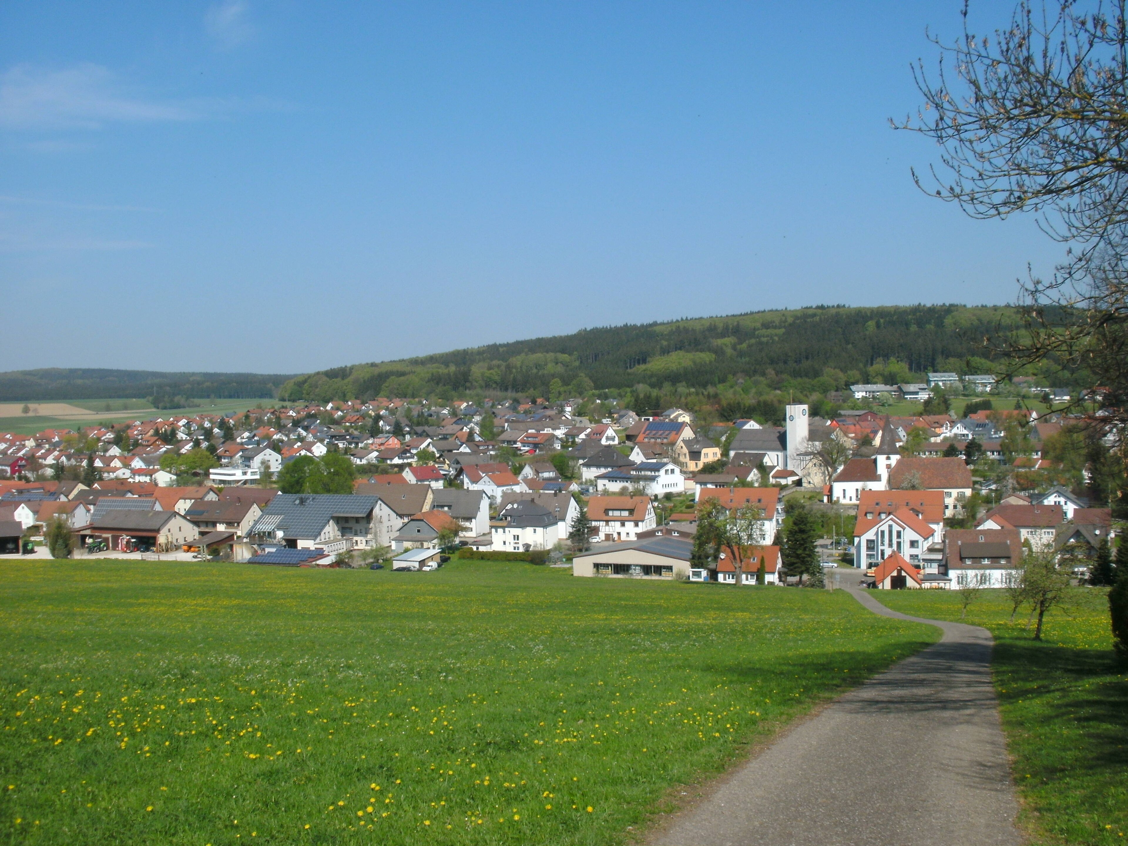
About Bartholomä
A tranquil Swabian retreat where rolling limestone plateaus meet a slow-paced lifestyle centered on hiking and rural silence.
Highlights
- Swabian Alb trails
- Rolling karst landscapes
- Traditional inn culture
- Nordic walking routes
Key Facts
- Altitude: 655m
- Top lift: 690m
- Ski pistes: 0.2km
- Ski lifts: 1
- Lakes nearby: 5
- MTB trails: 66km
Ski Area
Weather and 10-day forecast for Bartholomä
- Today: 12 to 21 °C, overcast, 1 h of sunshine
- Freezing level today: about 3715 m (3470 to 4050 m)
| Day | Min / max | Sky | Precipitation | Sunshine |
|---|---|---|---|---|
| czw., 1 paź | 12 / 21 °C | overcast | dry | 1 h sun |
| pt., 2 paź | 13 / 18 °C | rain | dry | 1 h sun |
| sob., 3 paź | 10 / 20 °C | clear sky | dry | 6 h sun |
| niedz., 4 paź | 12 / 19 °C | rain | dry | 3 h sun |
| pon., 5 paź | 10 / 19 °C | overcast | dry | 1 h sun |
| wt., 6 paź | 9 / 20 °C | clear sky | dry | 10 h sun |
| śr., 7 paź | 8 / 21 °C | partly cloudy | dry | 7 h sun |
| czw., 8 paź | 11 / 17 °C | drizzle | dry | 2 h sun |
| pt., 9 paź | 7 / 11 °C | drizzle | dry | 2 h sun |
| sob., 10 paź | 6 / 16 °C | partly cloudy | dry | 5 h sun |
Things to do in Bartholomä
Hikes nearby - Bartholomä (20)
20+ curated hiking trails around Bartholomä, sourced from OpenStreetMap and enriched with distance, elevation gain and difficulty.
-
Albschäferweg Abschnitt Heidenheim - Gerstetten- Giengen
-
Falkenteich - Bibersohl
-
Wanderblume Nr.5 "Heideblütenweg"
-
Rundweg Bibersohl
Vom Wental zum alten Forsthaus.
-
Zugangsweg HW4 - Zang - Bartholomä - Lauterburg HW1
-
Essingen 4: Wental
-
Rundweg Klösterle
Streifzug durchs unter Wental.
-
Nebenweg des SAV (gelbes liegendes Y)
-
Wanderblume Nr.3 "Quellwiesenweg"
-
Irmannswailer - Königsbronn
-
Wanderblume Nr.4 "Im Felsenmeer"
-
Brenztal - Gnannenkopf - Tauchenweiler
-
Nebenweg Gnannental-Steinheim
-
Wental - Heidhöfe - Weißenstein (HW1)
-
Tiefental - Wollenloch - Königsbronn
-
Äußerer Zugangsweg des SAV (blaues Dreieck)
-
Äußerer Zugangsweg (blaues Dreieck)
Beurener Kreuz-Weiler
-
Äußerer Zugangsweg des SAV (blaues Dreieck)
-
Aalbäumle HW1 - Oberkochen
-
Aalen, Stadtgarten - Limesmuseum - Unterrombach - Hahnenberg - Limeswanderweg
Rower górski w okolicy Bartholomä
- Mauertal-Loipe
- Wasserleitungsplanie
- Hardweg
- Glaserteichsträßle
- Manöversträßchen
Getting to Bartholomä
Door-to-door travel times as used by the MR. ALPS ranking.
- Nearest airport: Stuttgart Airport (STR), 57 km away, about 1h08 by road
- Stuttgart: 1h11 by car, 77 km
- Nürnberg: 1h53 by car, 155 km
- München: 1h59 by car, 174 km
- Mannheim: 2h28 by car, 195 km
- Strasbourg: 2h49 by car, 228 km
- Frankfurt am Main: 2h56 by car, 273 km
Where to stay in Bartholomä
16 places to stay for a night on 2026-10-02, from 142 EUR per night, median 148 EUR. Prices are direct with hotels and destinations, compared live on the Bartholomä page.