Wilern (Binn)
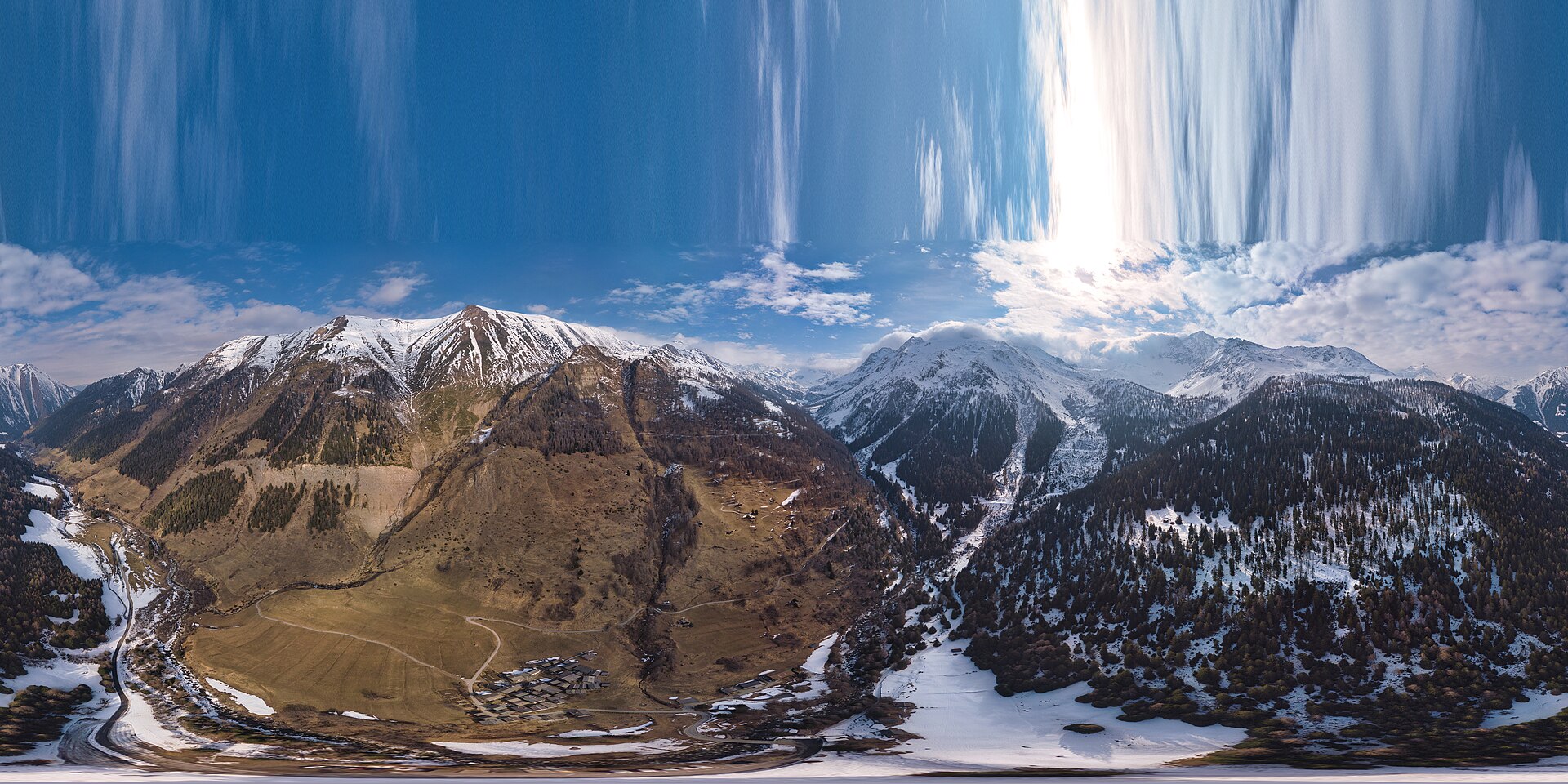
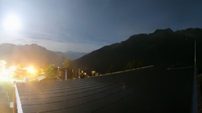
Webcam na żywo
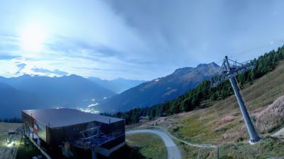
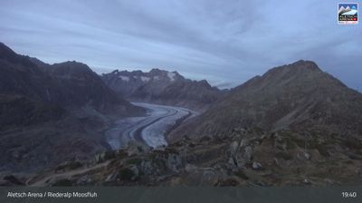
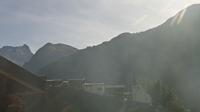
Raport śniegowy
- Ostatnie 24h: 0 cm
- Ostatnie 72h: 0 cm
- Ostatnie 7 dni: 0 cm
- Ostatnie 7 dni: Dolina 0cm · Środek stoku 0cm · Szczyt 0cm
- Suma sezonowa: 0 cm
Ośrodki narciarskie otwarte teraz · Raport śniegowy
About Wilern (Binn)
A secluded hamlet in the Binntal known for its crystal-rich mountains, ancient timber houses, and a slow-paced, traditional way of life.
Highlights
- Rare mineral deposits
- Ancient sun-blackened timber
- Untamed hiking trails
- Quiet mountain solitude
Key Facts
- Altitude: 1418m
- Top lift: 1542m
- Ski lifts: 1
- Population: 129
- 4000m+ peaks nearby: 2
- Lakes nearby: 32
- MTB trails: 194.5km
- Mountain huts: 14
Ski Area
Karnety sezonowe obejmujące tę miejscowość
Weather and 10-day forecast for Wilern (Binn)
- Today: 9 to 21 °C, clear sky, 10 h of sunshine
- Freezing level today: about 4133 m (4080 to 4220 m)
| Day | Min / max | Sky | Precipitation | Sunshine |
|---|---|---|---|---|
| sob., 26 wrz | 9 / 21 °C | clear sky | dry | 10 h sun |
| niedz., 27 wrz | 9 / 22 °C | clear sky | dry | 12 h sun |
| pon., 28 wrz | 10 / 19 °C | clear sky | dry | 11 h sun |
| wt., 29 wrz | 9 / 16 °C | partly cloudy | dry | 7 h sun |
| śr., 30 wrz | 7 / 12 °C | overcast | dry | 2 h sun |
| czw., 1 paź | 6 / 12 °C | rain | dry | 2 h sun |
| pt., 2 paź | 10 / 15 °C | partly cloudy | dry | 4 h sun |
| sob., 3 paź | 9 / 15 °C | drizzle | dry | 6 h sun |
| niedz., 4 paź | 9 / 14 °C | drizzle | dry | 11 h sun |
| pon., 5 paź | 5 / 16 °C | drizzle | dry | 3 h sun |
Things to do in Wilern (Binn)
Hikes nearby — Wilern (Binn) (20)
20+ curated hiking trails around Wilern (Binn), sourced from OpenStreetMap and enriched with distance, elevation gain and difficulty.
-
Walserweg Gottardo - Etappe 1
-
Via Alpina Blue D4
Binn - Rosswald
-
16-Alpenpässe-Weg
-
Alpenpässe-Weg
This stage of the Alpine Passes Trail crosses through the Binntal Landscape Park, a valley renowned for its mineral wealth — more than 200 different minerals have been found here, over half of them in the Lengenbach mineral mine, where snow-white dolomite marble can be searched for fool's gold.
-
14a-Sentiero dei passi alpini
-
Binn-Ausserbinn
-
Binn - Breithorn
-
Ausserbinn - Eggerhorn
-
Saflischbachweg
-
Uf en Egga
The Chapel Trail climbs past the pilgrimage chapel "Maria Hilf" — still used today — to a ridge at 1661 m where a panoramic view opens over the Rhone Valley. Above that viewpoint, roughly 45 minutes further, stands a lime kiln built in Roman times.
-
Meiggera - Firsitte
-
Ernen - Rappental
-
Grengiols - Firsitte
-
Wasen - Hockmatten
-
Breithorn- Furggerchäller
-
Sickerchäller - Furggerchäller
-
Sickerchäller - Meiggerhorn
-
Ausserbinn-Ernen
-
Binntal Schaplersee-Weg
-
Alpenpässe-Weg: _ - Rosswald
Mountain biking near Wilern (Binn)
- Twingistrasse
Getting to Wilern (Binn)
Door-to-door travel times as used by the MR. ALPS ranking.
- Nearest airport: Lugano Airport (LUG), 69 km away, about 2h25 by road
- Luzern: 2h23 by car, 146 km
- Lausanne: 2h26 by car, 178 km
- Bern: 2h42 by train, 133 km
- Zürich: 2h53 by car, 183 km
- Genève: 3h05 by car, 240 km
- Biel/Bienne: 3h09 by car, 201 km
Where to stay in Wilern (Binn)
161 places to stay for a night on 2026-10-02, from 175 EUR per night, median 367 EUR. Prices are direct with hotels and destinations, compared live on the Wilern (Binn) page.