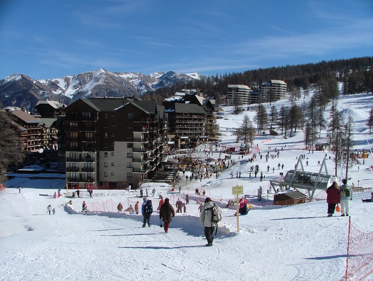
Risoul
Webcam na żywo




Otwarte wyciągi: 0/34
Raport śniegowy
- Ostatnie 24h: 0 cm
- Ostatnie 72h: 0 cm
- Ostatnie 7 dni: 0 cm
- Ostatnie 7 dni: Dolina 0cm · Środek stoku 0cm · Szczyt 0cm
- Suma sezonowa: 0.1 cm
Ośrodki narciarskie otwarte teraz · Raport śniegowy
About Risoul
A purpose-built sun-trap known for its larch-lined slopes and laid-back atmosphere that draws a younger, spirited French crowd.
Highlights
- Vast larch forests
- Southern Alpine sunshine
- Youthful energy
- Ski-in ski-out convenience
Key Facts
- Altitude: 1850m
- Top lift: 2750m
- Ski pistes: 185km
- Ski lifts: 36
- Population: 663
- Lakes nearby: 10
- MTB trails: 154.1km
- Mountain huts: 7
Ski Area
Weather and 10-day forecast for Risoul
- Today: 7 to 14 °C, clear sky, 10 h of sunshine
- Freezing level today: about 4460 m (4240 to 4630 m)
| Day | Min / max | Sky | Precipitation | Sunshine |
|---|---|---|---|---|
| śr., 23 wrz | 7 / 14 °C | clear sky | dry | 10 h sun |
| czw., 24 wrz | 7 / 17 °C | overcast | dry | 4 h sun |
| pt., 25 wrz | 9 / 17 °C | clear sky | dry | 10 h sun |
| sob., 26 wrz | 7 / 17 °C | clear sky | dry | 11 h sun |
| niedz., 27 wrz | 8 / 16 °C | clear sky | dry | 9 h sun |
| pon., 28 wrz | 8 / 18 °C | partly cloudy | dry | 7 h sun |
| wt., 29 wrz | 7 / 18 °C | clear sky | dry | 7 h sun |
| śr., 30 wrz | 6 / 17 °C | partly cloudy | dry | 8 h sun |
| czw., 1 paź | 3 / 16 °C | partly cloudy | dry | 5 h sun |
| pt., 2 paź | 3 / 9 °C | drizzle | dry | 5 h sun |
Things to do in Risoul
Hikes nearby — Risoul (18)
18 curated hiking trails around Risoul, sourced from OpenStreetMap and enriched with distance, elevation gain and difficulty.
-
Tour du Guillestrois
-
Rif-Bel - Pont de Vars
-
Escreins - Pont de Vars
-
Via Alpina Red R131
Mont-Dauphin (Guillestre) - Refuge de Furfande
-
Via Alpina Red R130
Freissinières - Mont-Dauphin (Guillestre)
-
Fontfrache - Mondone
-
Via Alpina Red R132
Refuge de Furfande - Ceillac
-
Tour de la Dent de Ratier
-
Tour de la Font Sancte
-
Parking Val d'Escreins - Col de la Scie
-
Pré Fonza - ?
-
Grande Combe - Sous la Crête d'Agnès
-
Ancien Canal - Croix du Serre de l'Aigle
-
Ancien Canal - La Roche Taillée
-
Boucle de Saint-Alban
-
Chemin de la Durance
-
Bramousse - Le Mélèze de Bramousse
-
Boucle de La Chalp
Mountain biking near Risoul
- Panacelle
- Le Tour de Guillestre
- Chemin de Combe Chauve
- Risoul par la Crete du Penon
Getting to Risoul
Door-to-door travel times as used by the MR. ALPS ranking.
- Nearest airport: Turin Airport (TRN), 101 km away, about 2h28 by road
- Torino: 2h24 by car, 146 km
- Grenoble: 2h38 by car, 151 km
- Chambéry: 2h51 by car, 195 km
- Marseille: 2h57 by car, 233 km
- Annecy: 3h23 by car, 242 km
- Nice: 3h27 by car, 182 km
Where to stay in Risoul
48 places to stay for a night on 2026-09-25, from 69 EUR per night, median 112 EUR. Prices are direct with hotels and destinations, compared live on the Risoul page.