Pischa
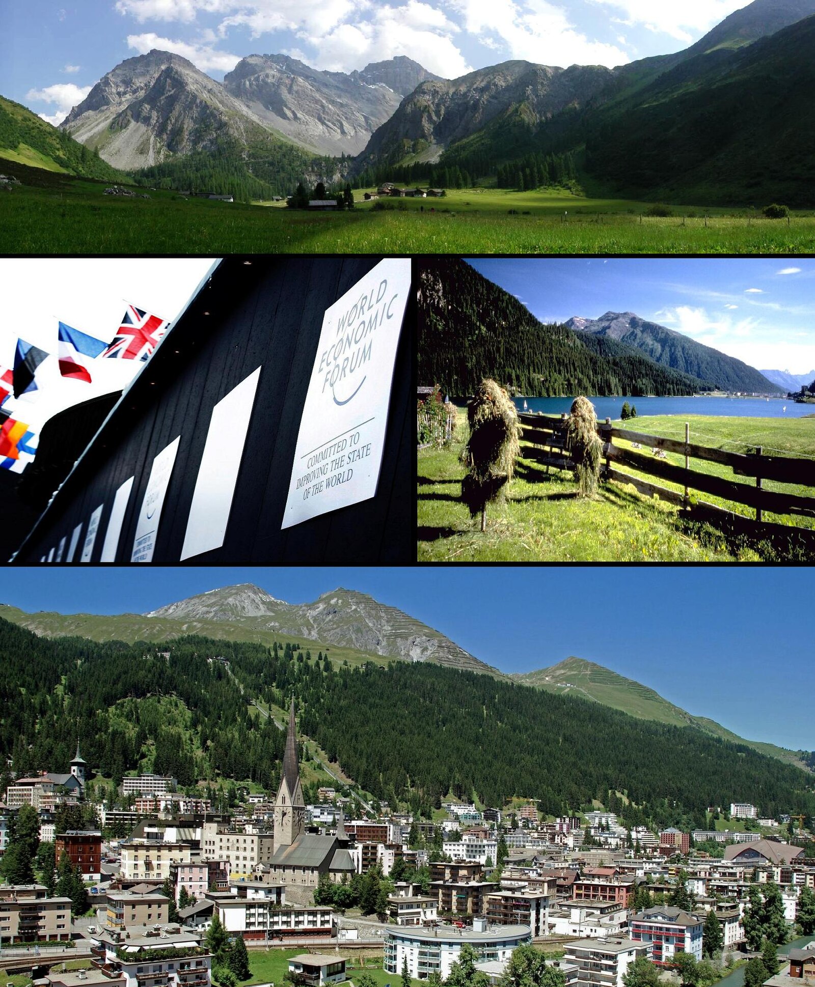
Webcam na żywo

Otwarte wyciągi: 0/56
Raport śniegowy
- Ostatnie 24h: 0 cm
- Ostatnie 72h: 0 cm
- Ostatnie 7 dni: 0 cm
- Ostatnie 7 dni: Dolina 0cm · Środek stoku 0cm · Szczyt 0cm
- Suma sezonowa: 19.9 cm
Ośrodki narciarskie otwarte teraz · Raport śniegowy
About Pischa
A high-altitude sanctuary for freeriders and winter hikers who prefer raw mountain silence over the chaos of traditional resorts.
Highlights
- Untouched powder runs
- Winter hiking trails
- Alternative mountain sports
- Off-piste solitude
Key Facts
- Altitude: 1560m
- Top lift: 2483m
- Ski pistes: 30km
- Ski lifts: 1
- Lakes nearby: 15
- MTB trails: 239.8km
- Mountain huts: 11
Ski Area
Karnety sezonowe obejmujące tę miejscowość
Weather and 10-day forecast for Pischa
- Today: 3 to 14 °C, clear sky, 12 h of sunshine
- Freezing level today: about 3705 m (3430 to 3850 m)
| Day | Min / max | Sky | Precipitation | Sunshine |
|---|---|---|---|---|
| śr., 23 wrz | 3 / 14 °C | clear sky | dry | 12 h sun |
| czw., 24 wrz | 4 / 11 °C | overcast | dry | 2 h sun |
| pt., 25 wrz | 2 / 13 °C | clear sky | dry | 11 h sun |
| sob., 26 wrz | 5 / 17 °C | clear sky | dry | 12 h sun |
| niedz., 27 wrz | 8 / 19 °C | clear sky | dry | 12 h sun |
| pon., 28 wrz | 9 / 20 °C | clear sky | dry | 12 h sun |
| wt., 29 wrz | 9 / 20 °C | clear sky | dry | 12 h sun |
| śr., 30 wrz | 8 / 19 °C | clear sky | dry | 12 h sun |
| czw., 1 paź | 6 / 16 °C | drizzle | dry | 1 h sun |
| pt., 2 paź | 1 / 7 °C | snow showers | dry | 0 h sun |
Things to do in Pischa
Hikes nearby — Pischa (20)
20+ curated hiking trails around Pischa, sourced from OpenStreetMap and enriched with distance, elevation gain and difficulty.
-
Walserweg - Etappe 14
This stage of the Walserweg long-distance trail through the canton of Graubünden runs as a point-to-point route from Sertig Dörfli — a small mountain village with a little church, set in the Sertigtal valley beneath peaks including the Mittagshorn, Plattenflue, and Hoch Ducan — into Davos. The trail begins in a landscape described as "hinter den Eggen," where cattle graze on pastures and a village fountain murmurs beside a handful of houses.
-
Via son Giachen
-
Via son Giachen
-
Chaltboden - Pischa
The route follows the Pischagrat ridge from Tschuggen, passing over the Hüreli before descending to Alp Drusatscha and on into Davos Dorf. At its highest, the trail reaches 2483 m — a ridge walk that drops nearly 1000 m to the valley floor below.
-
Drusatscha - Chaltboden
-
Tschuggen - Pischa
The route traces the Pischa ridge from Tschuggen to the Hüreli, then continues to the Drusatscha alp before descending to Davos Dorf.
-
Davosersee Rundweg
Rollstuhlwanderung
-
Jakobshorn - Ischalp
-
Hohe Promenade
-
Jöriseen Rundweg
-
Fuorcla Zadrell
-
Schanfigger Höhenweg - Etappe 2
-
Mittelbünden-Panoramaweg Stage 2
-
Walserweg - Etappe 17
-
Walserweg - Etappe 15
-
Jakobsweg Graubünden: Dürrboden - Davos Dorf
-
Walserweg: Sertig Dörfli - Davos Platz Bahnhof
-
ViaValtellina: Schlappin - Davos Dorf Bahnhofstrasse
-
Jakobsweg Graubünden: Davos Dorf - Langwies Dorf
-
Schanfigger Höhenweg: Jatz Heimeli - Strassberg
Mountain biking near Pischa
- Pischa
- Büelewaldweg
- Stillbergalp
Getting to Pischa
Door-to-door travel times as used by the MR. ALPS ranking.
- Nearest airport: Bodensee Airport Friedrichshafen (FDH), 101 km away, about 2h07 by road
- Zürich: 1h59 by car, 151 km
- Luzern: 2h18 by car, 174 km
- Innsbruck: 2h24 by car, 172 km
- Bolzano - Bozen: 2h44 by car, 162 km
- Basel: 2h57 by car, 234 km
- Trento: 3h13 by car, 212 km
Where to stay in Pischa
200 places to stay for a night on 2026-09-25, from 115 EUR per night, median 287 EUR. Prices are direct with hotels and destinations, compared live on the Pischa page.