Passo dello Stelvio (Stelvio Pass)
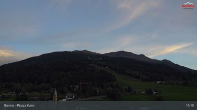
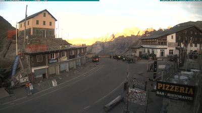
Webcam na żywo
Otwarte wyciągi: 4/6
Raport śniegowy
- Ostatnie 24h: 0 cm
- Ostatnie 72h: 0 cm
- Ostatnie 7 dni: 0 cm
- Ostatnie 7 dni: Dolina 0.1cm · Środek stoku 0cm · Szczyt 0.1cm
- Suma sezonowa: 22 cm
Ośrodki narciarskie otwarte teraz · Raport śniegowy
About Passo dello Stelvio (Stelvio Pass)
A high-altitude settlement at 2,757m, this historic alpine crossing serves as a gateway between Valtellina and the Swiss border. Outside the peak summer ski season, the 9km of pistes and 633m vertical drop remain remarkably quiet as the terrain transitions into the protected wilderness of Stelvio National Park.
Highlights
- Summer glacier skiing
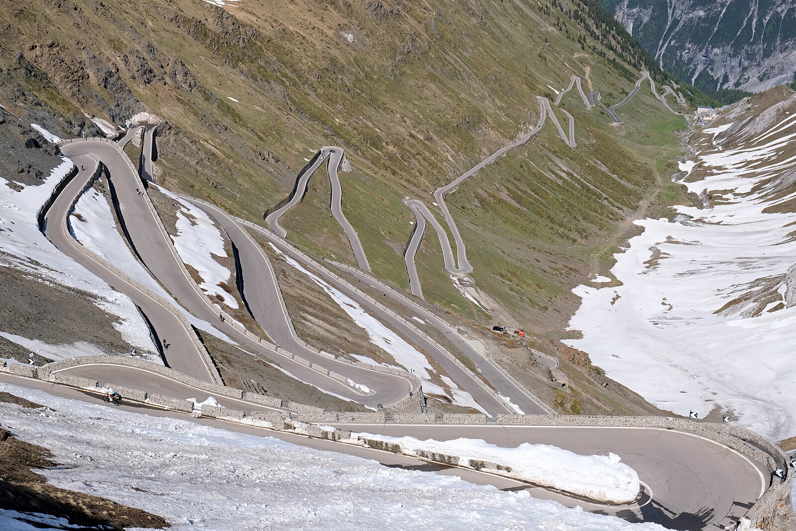
- Iconic hairpin bends
- High-altitude training
- Cyclist's pilgrimage site
Key Facts
- Altitude: 2757m
- Top lift: 3390m
- Ski pistes: 9km
- Ski lifts: 6
- Lakes nearby: 6
- MTB trails: 145.5km
- Mountain huts: 17
Ski Area
Weather and 10-day forecast for Passo dello Stelvio (Stelvio Pass)
- Today: -2 to 5 °C, overcast, 2 h of sunshine
- Freezing level today: about 3133 m (2880 to 3700 m)
| Day | Min / max | Sky | Precipitation | Sunshine |
|---|---|---|---|---|
| czw., 24 wrz | -2 / 5 °C | overcast | dry | 2 h sun |
| pt., 25 wrz | -2 / 7 °C | clear sky | dry | 10 h sun |
| sob., 26 wrz | 3 / 12 °C | clear sky | dry | 9 h sun |
| niedz., 27 wrz | 4 / 12 °C | clear sky | dry | 12 h sun |
| pon., 28 wrz | 5 / 13 °C | clear sky | dry | 12 h sun |
| wt., 29 wrz | 5 / 12 °C | clear sky | dry | 10 h sun |
| śr., 30 wrz | 5 / 13 °C | clear sky | dry | 9 h sun |
| czw., 1 paź | 2 / 9 °C | clear sky | dry | 8 h sun |
| pt., 2 paź | -1 / 6 °C | drizzle | dry | 1 h sun |
| sob., 3 paź | -1 / 6 °C | clear sky | dry | 11 h sun |
Things to do in Passo dello Stelvio (Stelvio Pass)
Hikes nearby — Passo dello Stelvio (Stelvio Pass) (18)
18 curated hiking trails around Passo dello Stelvio (Stelvio Pass), sourced from OpenStreetMap and enriched with distance, elevation gain and difficulty.
-
Pass Umbrail - Piz da las Trais Linguas - Piz Cotschen
-
Il Sentiero del Cambiamento Climatico
-
Dreifernerweg
-
Blockhaus - Alp Prasüra - Sella da Piz Cotschen
-
Sta. Maria - Pass Umbrail
-
Nationalpark Panoramaweg
-
Via son Giachen
-
Pedemontana della Reit
-
Cammino Mariano delle Alpi - Via Orientale - Tappa 1
-
Herrensteig
-
Ciclovia dell'Energia - Percorso Arancio
Hiking Relation
-
Riva dal Rom
-
Senda Trafögl
-
Fuldera - Runca
-
Archaikweg
-
A la riva dal Rom
-
Jakobsweg Graubünden: Müstair Claustra Parkplatz - Lü
-
Nationalpark-Panoramaweg
Mountain biking near Passo dello Stelvio (Stelvio Pass)
- Tibet Trail
- BimBamTrail (Nr. 16)
- Obere Tartscher Alm - Malga di Tarces di sopra
- Tarscher Alm - Alpe di Tarres
Getting to Passo dello Stelvio (Stelvio Pass)
Door-to-door travel times as used by the MR. ALPS ranking.
- Nearest airport: Innsbruck Airport (INN), 106 km away, about 2h41 by road
- Bolzano - Bozen: 1h44 by car, 104 km
- Trento: 2h13 by car, 155 km
- Innsbruck: 2h30 by car, 171 km
- Brescia: 3h01 by car, 171 km
- Verona: 3h10 by car, 250 km
- Zürich: 3h18 by car, 231 km
Where to stay in Passo dello Stelvio (Stelvio Pass)
200 places to stay for a night on 2026-09-25, from 119 EUR per night, median 241 EUR. Prices are direct with hotels and destinations, compared live on the Passo dello Stelvio (Stelvio Pass) page.