Palot (Pisogne)
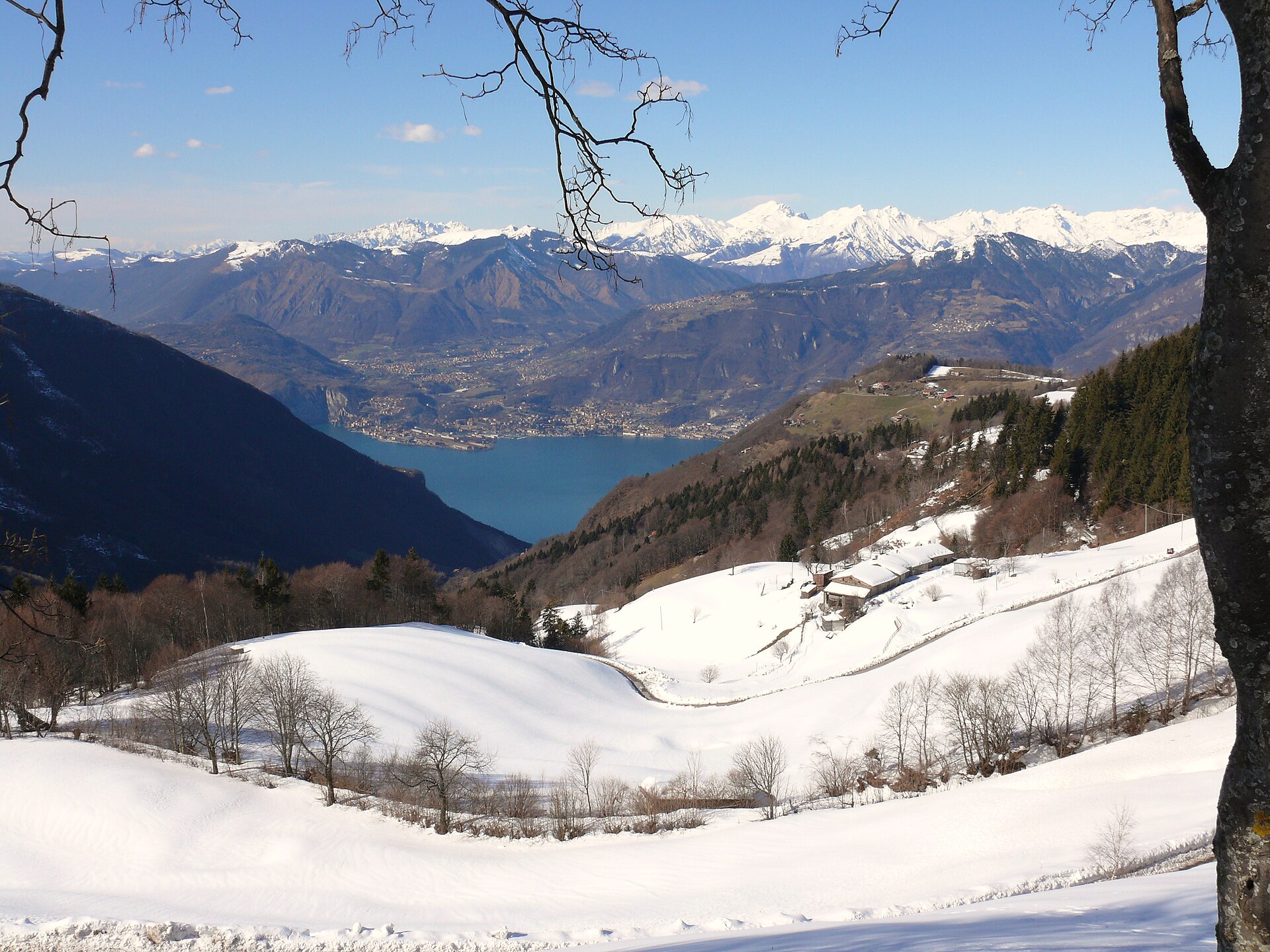
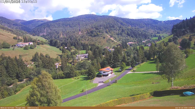
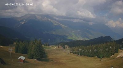
Webcam na żywo

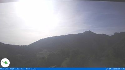
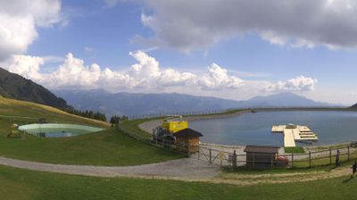
Otwarte wyciągi: 0%
Raport śniegowy
- Ostatnie 24h: 0 cm
- Ostatnie 72h: 0 cm
- Ostatnie 7 dni: 0 cm
- Ostatnie 7 dni: Dolina 0cm · Środek stoku 0cm · Szczyt 0cm
- Suma sezonowa: 0 cm
Ośrodki narciarskie otwarte teraz · Raport śniegowy
About Palot (Pisogne)
A hidden Lombardian escape where locals trade Lake Iseo's humidity for quiet pine forests and unpretentious weekend slow-living.
Highlights
- Lakeside mountain escape
- Rustic trattoria culture
- Family-run ski slopes
- Ancient chestnut groves
Key Facts
- Altitude: 1026m
- Top lift: 1350m
- Ski pistes: 3km
- Ski lifts: 2
- Population: 80
- Lakes nearby: 2
- MTB trails: 57.3km
- Mountain huts: 25
Ski Area
Weather and 10-day forecast for Palot (Pisogne)
- Today: 10 to 13 °C, overcast, 2 h of sunshine
- Freezing level today: about 3940 m (3320 to 4240 m)
| Day | Min / max | Sky | Precipitation | Sunshine |
|---|---|---|---|---|
| pt., 25 wrz | 10 / 13 °C | overcast | dry | 2 h sun |
| sob., 26 wrz | 8 / 15 °C | partly cloudy | dry | 8 h sun |
| niedz., 27 wrz | 10 / 19 °C | clear sky | dry | 9 h sun |
| pon., 28 wrz | 13 / 19 °C | partly cloudy | dry | 8 h sun |
| wt., 29 wrz | 14 / 18 °C | partly cloudy | dry | 7 h sun |
| śr., 30 wrz | 12 / 15 °C | overcast | dry | 1 h sun |
| czw., 1 paź | 10 / 16 °C | clear sky | dry | 9 h sun |
| pt., 2 paź | 9 / 13 °C | partly cloudy | dry | 3 h sun |
| sob., 3 paź | 9 / 16 °C | clear sky | dry | 10 h sun |
| niedz., 4 paź | 8 / 16 °C | clear sky | dry | 11 h sun |
Things to do in Palot (Pisogne)
Hikes nearby — Palot (Pisogne) (20)
20+ curated hiking trails around Palot (Pisogne), sourced from OpenStreetMap and enriched with distance, elevation gain and difficulty.
-
Sentiero agrituristico del Lago d'Iseo
The trail loops the entire perimeter of Lake Iseo, passing through the Riserva Naturale delle Torbiere, climbing the flanks of the Corno del Criilì and Colma Bassa, and reaching the Rifugio Almici near the summit of Monte Guglielmo before descending through Val Palot. Along the way it threads together lakeside historic centres, forest roads, and rural landscapes scattered with artistic and historical landmarks on both the shoreline and the inland slopes.
-
Montecampione
-
Sentiero di Redicampo
-
CamminaForeste - Tappa 3D
-
Sentiero dei Laghi Basso - Tappa 10
-
Sonvico - Croce Marino
-
Malghe in Rete - Trekking - Le Valli Tappa 1
-
Malghe in Rete - Anello 2 - Monte Guglielmo
-
Sentiero dei Grap
-
Antica strada Valeriana
-
Sentiero di Bombolone - Aguina
-
Sentiero del Monte Guglielmo
-
Variante Sentiero del Monte Guglielmo
-
Sentiero dell'Uccellatore
-
Malghe in Rete - Anello 4 - Punta Caravina
-
Malghe in Rete - Anello 3 - Tredici Piante
-
Sentiero 3V
-
Malghe in Rete - Trekking - Le Creste
-
Malghe in Rete - Anello 1 - Punta Almana
-
Malghe in Rete - Trekking - Le Valli
Getting to Palot (Pisogne)
Door-to-door travel times as used by the MR. ALPS ranking.
- Nearest airport: Il Caravaggio International Airport (BGY), 39 km away, about 1h24 by road
- Brescia: 1h12 by car, 55 km
- Verona: 1h52 by car, 120 km
- Milano: 1h58 by car, 126 km
- Padova: 2h34 by car, 197 km
- Trento: 2h36 by car, 186 km
- Bolzano - Bozen: 3h10 by car, 239 km
Where to stay in Palot (Pisogne)
200 places to stay for a night on 2026-10-02, from 62 EUR per night, median 170 EUR. Prices are direct with hotels and destinations, compared live on the Palot (Pisogne) page.