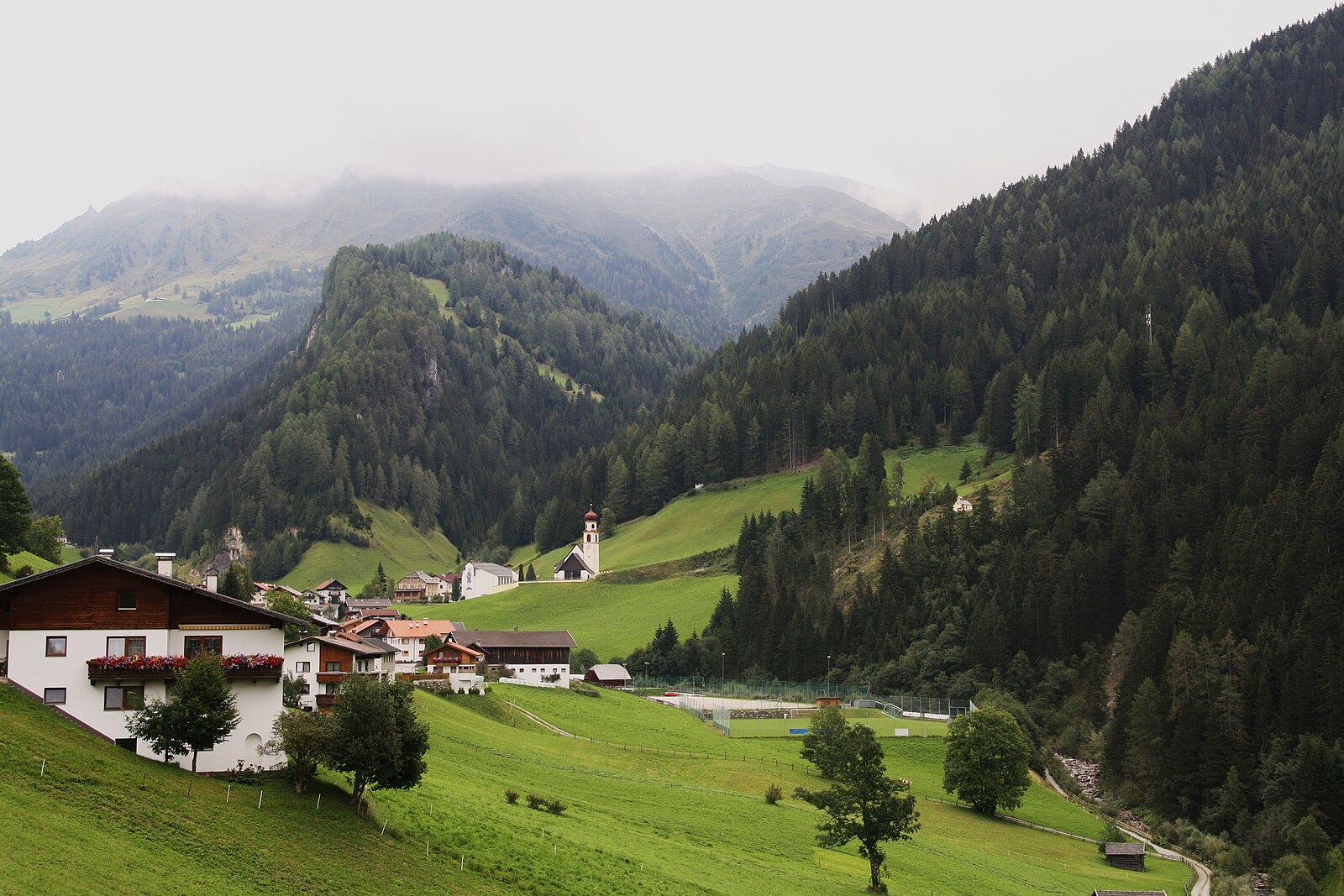
Navis
Webcam na żywo
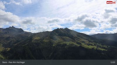
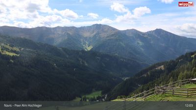
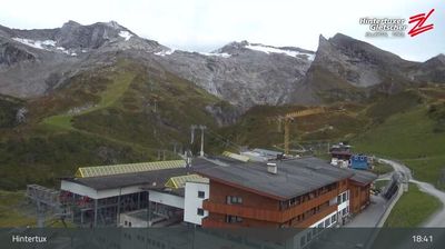
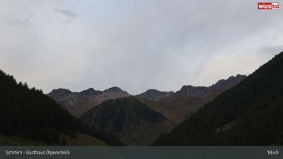
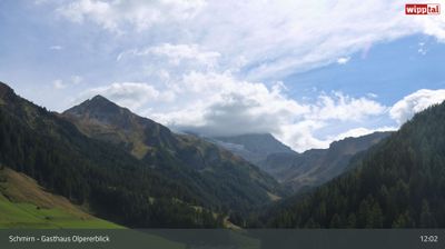
Otwarte wyciągi: 0%
Raport śniegowy
- Ostatnie 24h: 0 cm
- Ostatnie 72h: 0 cm
- Ostatnie 7 dni: 0 cm
- Ostatnie 7 dni: Dolina 0cm · Środek stoku 0cm · Szczyt 0cm
- Suma sezonowa: 0 cm
Ośrodki narciarskie otwarte teraz · Raport śniegowy
About Navis
A secluded valley retreat near Innsbruck, cherished by locals for its quiet winter touring and authentic Tyrolean farmstead culture.
Highlights
- Pristine ski touring
- Traditional farmhouse architecture
- Quiet mountain solitude
- Authentic alpine meadows
Key Facts
- Altitude: 1331m
- Top lift: 1585m
- Ski pistes: 1km
- Ski lifts: 1
- Population: 2,004
- Lakes nearby: 7
- MTB trails: 166.1km
- Mountain huts: 32
Ski Area
Weather and 10-day forecast for Navis
- Today: 5 to 18 °C, clear sky, 12 h of sunshine
- Freezing level today: about 3978 m (3890 to 4050 m)
| Day | Min / max | Sky | Precipitation | Sunshine |
|---|---|---|---|---|
| sob., 26 wrz | 5 / 18 °C | clear sky | dry | 12 h sun |
| niedz., 27 wrz | 9 / 20 °C | clear sky | dry | 12 h sun |
| pon., 28 wrz | 10 / 20 °C | clear sky | dry | 7 h sun |
| wt., 29 wrz | 11 / 21 °C | clear sky | dry | 11 h sun |
| śr., 30 wrz | 10 / 20 °C | clear sky | dry | 11 h sun |
| czw., 1 paź | 10 / 19 °C | clear sky | dry | 9 h sun |
| pt., 2 paź | 8 / 11 °C | rain | dry | 0 h sun |
| sob., 3 paź | 6 / 19 °C | clear sky | dry | 11 h sun |
| niedz., 4 paź | 5 / 17 °C | clear sky | dry | 9 h sun |
| pon., 5 paź | 4 / 12 °C | drizzle | dry | 0 h sun |
Things to do in Navis
Hikes nearby — Navis (14)
14 curated hiking trails around Navis, sourced from OpenStreetMap and enriched with distance, elevation gain and difficulty.
-
Wanderweg 325
-
Tag 8 V1 Traumpfad München Venedig
-
Glungezer-Geier-Weg
The Glungezer-Geier-Weg (AV 335) crosses from the Glungezer Hütte at 2,610 m over seven successive Tuxer Alps summits to the Lizumer Hütte at 2,019 m, forming the most serious alpine terrain on the multi-day Inntaler Höhenweg. The route demands sure-footedness and alpine experience, and the area can carry temporary access restrictions linked to a military training ground.
-
Arztal Alm - Pfoner Ochsenalm
-
Seeblesspitze
-
Toldern - Steinernes Lamm
-
Wanderweg 527
-
Panoramaweg Padastertal
-
Trautson
-
Klammjoch - Tarntalerköpfe - Lizumer Sonnenspitze - Geier
-
Zillertal Wanderweg 35
-
Junsjochsteig - Geier - Lizumer Reckner
Abzweigung Weg 322: Geier - Lizumer Reckner
-
Arztalrunde
-
Glungezer-Höhenweg
Mountain biking near Navis
- Naviser Sunnseitn Trail
- Naviser Bachweg
- Seapenalm
- Grafmart
Getting to Navis
Door-to-door travel times as used by the MR. ALPS ranking.
- Nearest airport: Innsbruck Airport (INN), 21 km away, about 30 min by road
- Innsbruck: 32 min by car, 35 km
- Bolzano - Bozen: 1h26 by car, 109 km
- Trento: 1h57 by car, 164 km
- München: 2h16 by car, 170 km
- Verona: 2h55 by car, 260 km
- Brescia: 3h25 by car, 295 km
Where to stay in Navis
72 places to stay for a night on 2026-09-25, from 141 EUR per night, median 156 EUR. Prices are direct with hotels and destinations, compared live on the Navis page.