Mundaun
Webcam na żywo
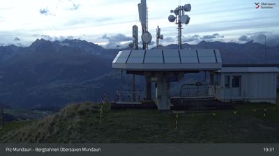


Otwarte wyciągi: 0/15
Raport śniegowy
- Ostatnie 24h: 0 cm
- Ostatnie 72h: 0 cm
- Ostatnie 7 dni: 0 cm
- Ostatnie 7 dni: Dolina 0cm · Środek stoku 0cm · Szczyt 0cm
- Suma sezonowa: 4 cm
Ośrodki narciarskie otwarte teraz · Raport śniegowy
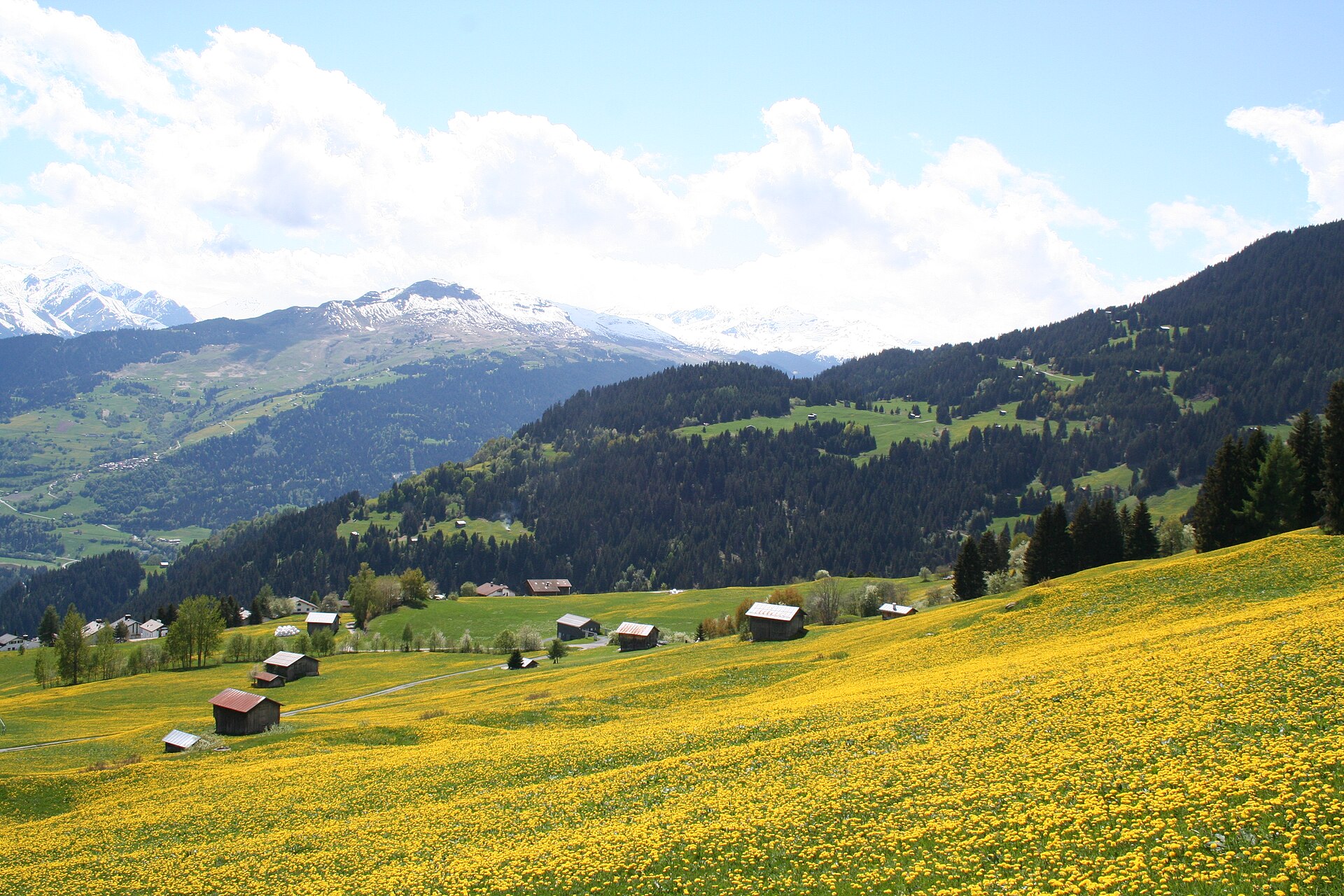
About Mundaun
A quiet Graubünden secret where sun-drenched ridges and traditional Walser settlements offer a slow-paced alternative to the glitzy neighbors.
Highlights
- Panoramic ridge skiing
- Traditional Walser architecture
- Uncrowded family slopes
- Understated Swiss charm
Key Facts
- Altitude: 1479m
- Top lift: 2310m
- Ski pistes: 120km
- Ski lifts: 15
- Population: 301
- Lakes nearby: 8
- MTB trails: 193.5km
- Mountain huts: 8
Ski Area
Karnety sezonowe obejmujące tę miejscowość
Weather and 10-day forecast for Mundaun
- Today: 8 to 18 °C, clear sky, 11 h of sunshine
- Freezing level today: about 4087 m (4020 to 4180 m)
| Day | Min / max | Sky | Precipitation | Sunshine |
|---|---|---|---|---|
| sob., 26 wrz | 8 / 18 °C | clear sky | dry | 11 h sun |
| niedz., 27 wrz | 9 / 20 °C | clear sky | dry | 12 h sun |
| pon., 28 wrz | 10 / 22 °C | partly cloudy | dry | 8 h sun |
| wt., 29 wrz | 9 / 22 °C | clear sky | dry | 12 h sun |
| śr., 30 wrz | 8 / 20 °C | partly cloudy | dry | 8 h sun |
| czw., 1 paź | 10 / 19 °C | mainly clear | 1 mm rain | 7 h sun |
| pt., 2 paź | 7 / 12 °C | rain | 16 mm rain | 0 h sun |
| sob., 3 paź | 4 / 20 °C | fog | 0 mm rain | 11 h sun |
| niedz., 4 paź | 4 / 20 °C | overcast | dry | 11 h sun |
| pon., 5 paź | 5 / 15 °C | drizzle | 2 mm rain | 11 h sun |
Things to do in Mundaun
Hikes nearby — Mundaun (20)
20+ curated hiking trails around Mundaun, sourced from OpenStreetMap and enriched with distance, elevation gain and difficulty.
-
Via son Giachen
-
Via son Giachen
-
ViaSuworow
-
08-Alpenpässe-Weg
-
Senda Sursilvana
The fifth and final segment of the Senda Sursilvana, this point-to-point route runs from Laax to Chur, passing through forests on a 105 km trail that traverses the sunny terraces of the Surselva high above the Vorderrhein.
-
Obersaxen Bündner Rigi
-
Triel Meierhof
-
Vella Alp Sezner
-
Alp Sezner Obersaxen
-
Alp Sezner Stein
-
Senda Lumneziana Vrin Ilanz
-
Rueun - Fuorcla da Ranasca
-
Vella Triel
The trail traverses the high ridge between Piz Mundaun and Péz Sezner, where numerous mountain ranges converge in the distance to form the broader Alpine mass, delivering a panoramic view over the Surselva valley that the source describes as extraordinary. The route can be accessed from multiple starting points — on foot, by hiking bus, or by chairlift — between a high point of 2,309 m and a low point of 1,980 m.
-
Vella Triel
The trail traverses a high ridge between Piz Mundaun and Péz Sezner, where numerous mountain ranges converge in the distance to form the broader Alpine mass, offering a panoramic view over the Surselva valley that is described as extraordinary. The route can be accessed from multiple starting points — on foot, by hiking bus, or by chairlift — with the highest point reaching 2,309 m and the lowest at 1,980 m.
-
Luven Bündner Rigi
-
Flond Ilanz
-
Flond Luven
-
Walserweg Obersaxen
-
ViaSuworow: Pigniu/Panix - Ilanz/Glion Bahnhof
-
Senda Sursilvana: Breil/Brigels - Laax Murschetg
Mountain biking near Mundaun
- Rund um den Mundaun Bike
- Via da Polacs
- Cuolm Sura
- Via Piz Mundaun
- Via Planatsch
- Via Priel
- Stavonas Prada
Getting to Mundaun
Door-to-door travel times as used by the MR. ALPS ranking.
- Nearest airport: Bodensee Airport Friedrichshafen (FDH), 106 km away, about 2h18 by road
- Zürich: 2h08 by car, 162 km
- Luzern: 2h09 by car, 132 km
- Basel: 3h05 by car, 244 km
- Milano: 3h13 by car, 213 km
- Biel/Bienne: 3h22 by car, 239 km
- Bern: 3h23 by car, 240 km
Where to stay in Mundaun
93 places to stay for a night on 2026-10-02, from 119 EUR per night, median 334 EUR. Prices are direct with hotels and destinations, compared live on the Mundaun page.