Monte Poieto – Aviatico
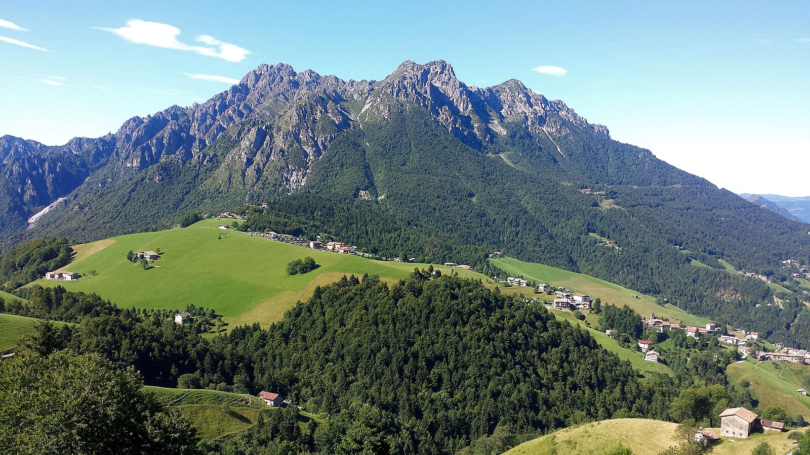
Webcam na żywo
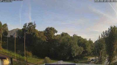
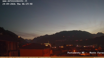
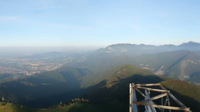
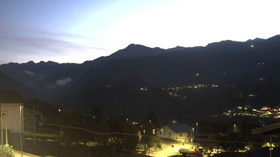
Otwarte wyciągi: 0%
Raport śniegowy
- Ostatnie 24h: 0 cm
- Ostatnie 72h: 0 cm
- Ostatnie 7 dni: 0 cm
- Ostatnie 7 dni: Dolina 0cm · Środek stoku 0cm · Szczyt 0cm
- Suma sezonowa: 0 cm
Ośrodki narciarskie otwarte teraz · Raport śniegowy
About Monte Poieto – Aviatico
A nostalgic sanctuary for Bergamo locals, where vintage red cable cars ascend to a panoramic plateau of quiet, slow-paced escapism.
Highlights
- Retro cable cars
- Family-run hospitality
- Gentle ridge walks
- Panoramic terrace dining
Key Facts
- Altitude: 1224m
- Top lift: 1375m
- Ski pistes: 2km
- Ski lifts: 2
- Population: 583
- Lakes nearby: 2
- MTB trails: 63.9km
- Mountain huts: 21
Ski Area
Weather and 10-day forecast for Monte Poieto – Aviatico
- Today: 8 to 16 °C, overcast, 3 h of sunshine
- Freezing level today: about 3776 m (3410 to 3990 m)
| Day | Min / max | Sky | Precipitation | Sunshine |
|---|---|---|---|---|
| czw., 24 wrz | 8 / 16 °C | overcast | dry | 3 h sun |
| pt., 25 wrz | 8 / 12 °C | overcast | dry | 3 h sun |
| sob., 26 wrz | 8 / 15 °C | clear sky | dry | 9 h sun |
| niedz., 27 wrz | 8 / 17 °C | clear sky | dry | 12 h sun |
| pon., 28 wrz | 10 / 18 °C | partly cloudy | dry | 8 h sun |
| wt., 29 wrz | 10 / 17 °C | partly cloudy | dry | 8 h sun |
| śr., 30 wrz | 10 / 17 °C | partly cloudy | dry | 6 h sun |
| czw., 1 paź | 9 / 13 °C | partly cloudy | dry | 6 h sun |
| pt., 2 paź | 8 / 10 °C | drizzle | dry | 1 h sun |
| sob., 3 paź | 8 / 13 °C | overcast | dry | 2 h sun |
Things to do in Monte Poieto – Aviatico
Hikes nearby — Monte Poieto – Aviatico (14)
14 curated hiking trails around Monte Poieto – Aviatico, sourced from OpenStreetMap and enriched with distance, elevation gain and difficulty.
-
Via Mercatorum - Variante Alta
La via Mercatorum è un insieme di sentieri e mulattiere che attraversano alcune zone della bergamasca, percorse dai mercanti nel Medioevo. Collegava la città di Bergamo con la val Brembana e la val Seriana facendole incontrare, per un percorso di circa 40 km fino alla realizzazione della via Priula nel 1593, per iniziativa della Serenissima.
-
Via Mercatorum - Variante Bassa
The route climbs through woodland to the plateau of Pià de la Loera, with open views toward the peaks of Arera and Alben, before the descent passes a grotto of the Madonna di Lourdes and returns to the centre of Selvino.
-
Sentiero 5
-
Sentiero 4
-
Sentiero 3
-
Sentiero Agostino Noris
-
Alta Via delle Grazie - Tappa 2
-
Sentiero 1
The route climbs steeply from Aviatico through dense nature before opening onto gravelly ground where the striking rock towers of Cornagera rise on the horizon, their walls marked by climbing routes. The trail continues to the summit of Monte Poieto, where a chapel stands at the top.
-
Sentiero 2
-
Sentiero Verde
From Aviatico, trail n. 537 climbs steeply through nature before opening onto gravelly ground where the striking rock towers of Cornagera rise on the horizon — their walls marked by climbing routes — and the path continues on to the summit chapel of Monte Poieto.
-
Sentiero Rosso
The Sentiero Rosso departs beside the cable-car ticket office and climbs to a summit offering a full 360-degree panorama on clear days.
-
Via Mercatorum
Antico cammino tra le montagne delle Alpi che ha svolto un ruolo vitale nel commercio e nella storia locale, offrendo panorami spettacolari e un'immersione nella cultura delle valli circostanti. Un viaggio attraverso i secoli di tradizioni.
-
Alta Via delle Grazie
-
Attacco al Canto Alto
Mountain biking near Monte Poieto – Aviatico
- Strada della Val de Grü
Getting to Monte Poieto – Aviatico
Door-to-door travel times as used by the MR. ALPS ranking.
- Nearest airport: Il Caravaggio International Airport (BGY), 15 km away, about 37 min by road
- Brescia: 1h08 by car, 75 km
- Milano: 1h12 by car, 73 km
- Verona: 1h45 by car, 139 km
- Padova: 2h28 by car, 215 km
- Trento: 2h30 by car, 205 km
- Torino: 2h36 by car, 209 km
Where to stay in Monte Poieto – Aviatico
92 places to stay for a night on 2026-09-25, from 82 EUR per night, median 120 EUR. Prices are direct with hotels and destinations, compared live on the Monte Poieto – Aviatico page.