Matrei in Osttirol
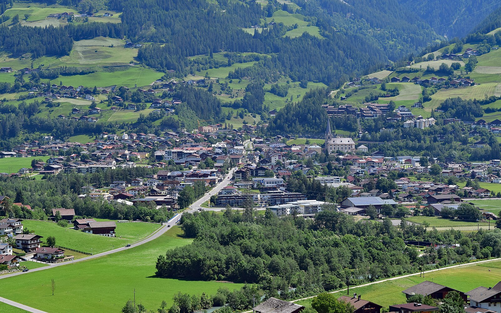
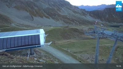
Webcam na żywo
Raport śniegowy
- Ostatnie 24h: 0 cm
- Ostatnie 72h: 0 cm
- Ostatnie 7 dni: 0 cm
- Ostatnie 7 dni: Dolina 1.3cm · Środek stoku 0cm · Szczyt 1.3cm
- Suma sezonowa: 0.6 cm
Ośrodki narciarskie otwarte teraz · Raport śniegowy
About Matrei in Osttirol
A rugged gateway to the Hohe Tauern, where authentic Tyrolean tradition meets a quieter, more intentional pace of mountain life.
Highlights
- National Park access
- Traditional wood architecture
- Uncrowded alpine trails
- Authentic Austrian hospitality
Key Facts
- Altitude: 978m
- Top lift: 2422m
- Ski pistes: 42km
- Ski lifts: 14
- Population: 4,619
- Lakes nearby: 16
- MTB trails: 146.1km
- Mountain huts: 21
Ski Area
Karnety sezonowe obejmujące tę miejscowość
Weather and 10-day forecast for Matrei in Osttirol
- Today: 2 to 17 °C, clear sky, 10 h of sunshine
- Freezing level today: about 3115 m (2470 to 3910 m)
| Day | Min / max | Sky | Precipitation | Sunshine |
|---|---|---|---|---|
| pt., 25 wrz | 2 / 17 °C | clear sky | dry | 10 h sun |
| sob., 26 wrz | 6 / 18 °C | clear sky | dry | 10 h sun |
| niedz., 27 wrz | 11 / 21 °C | clear sky | 0 mm rain | 10 h sun |
| pon., 28 wrz | 13 / 22 °C | clear sky | dry | 10 h sun |
| wt., 29 wrz | 12 / 21 °C | clear sky | 0 mm rain | 11 h sun |
| śr., 30 wrz | 15 / 24 °C | clear sky | dry | 10 h sun |
| czw., 1 paź | 16 / 24 °C | clear sky | dry | 11 h sun |
| pt., 2 paź | 9 / 19 °C | fog | dry | 11 h sun |
| sob., 3 paź | 11 / 18 °C | drizzle | 1 mm rain | 11 h sun |
| niedz., 4 paź | 7 / 20 °C | mainly clear | dry | 11 h sun |
Things to do in Matrei in Osttirol
Hikes nearby — Matrei in Osttirol (15)
15 curated hiking trails around Matrei in Osttirol, sourced from OpenStreetMap and enriched with distance, elevation gain and difficulty.
-
AV Weg 514
Kalser Tauernhaus - Sudetendeutsche Hütte - Stein / Felber Tauern Straße
-
Iseltrail
The Iseltrail traces the Isel — the last continuous, unspoilt glacial river in Europe — past water meadows, gravel bars, gorges, rapids, and waterfalls, from the Dolomites town of Lienz into the alpine wilderness of Hohe Tauern National Park. Highlights include the dramatic Grosse Iselschlucht canyon near Bobojach and a suspension bridge in Virgen that spans roughly 84 metres across the Isel Canyon at a dizzying height of around 90 metres.
-
AV Weg 515
-
AV Weg 502B
-
AV Weg 317
-
AV Weg 925
-
Isel - Rundwanderweg
-
Adlerweg
The Adlerweg in Osttirol traces nine stages almost entirely between 2000 and 2500 metres, linking the foot of the Großvenediger at Ströden to the Stüdlhütte on the Großglockner. From these heights, hikers look down into the valleys below much as an eagle circles overhead — a perspective that spans some of the most diverse mountain ranges in the Hohe Tauern.
-
Wanderweg 70
-
Wanderweg 71
-
Thiemeweg
-
Talweg
-
Wanderweg 59
-
Wanderweg 12
-
Wanderweg 72
Mountain biking near Matrei in Osttirol
- Klaunzerberg
- Grünalmtal
- Gornerbergweg
- Moaalmstraße
- Cimaroß - Goldriedrunde
- Kerer Alm
- Lana-Tembler
- Adler Trail
Getting to Matrei in Osttirol
Door-to-door travel times as used by the MR. ALPS ranking.
- Nearest airport: Salzburg Airport (SZG), 95 km away, about 2h14 by road
- Bolzano - Bozen: 2h24 by car, 150 km
- Innsbruck: 2h25 by car, 158 km
- München: 2h43 by car, 194 km
- Trento: 2h55 by car, 205 km
- Padova: 3h42 by car, 274 km
- Graz: 3h52 by car, 307 km
Where to stay in Matrei in Osttirol
142 places to stay for a night on 2026-09-25, from 167 EUR per night, median 197 EUR. Prices are direct with hotels and destinations, compared live on the Matrei in Osttirol page.