Macugnaga
Webcam na żywo
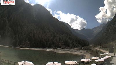
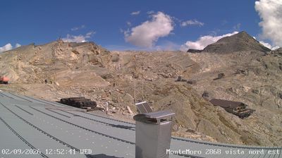
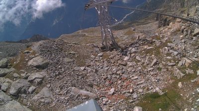
Otwarte wyciągi: 0/9
Raport śniegowy
- Ostatnie 24h: 0 cm
- Ostatnie 72h: 0 cm
- Ostatnie 7 dni: 0 cm
- Ostatnie 7 dni: Dolina 0cm · Środek stoku 0cm · Szczyt 0cm
- Suma sezonowa: 0.1 cm
Ośrodki narciarskie otwarte teraz · Raport śniegowy
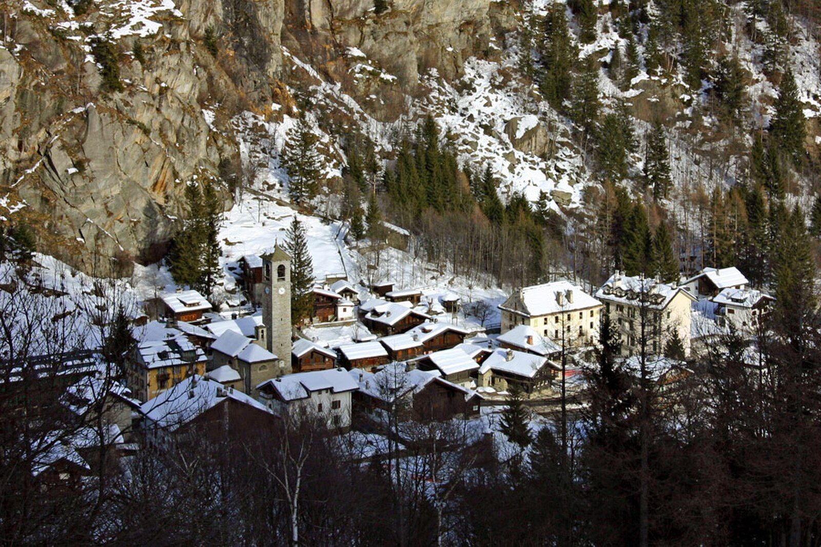
About Macugnaga
A historic Walser settlement resting at the base of Monte Rosa’s Himalayan-scale east face, defined by wood-and-stone architecture.
Highlights
- Walser cultural heritage
- Massive glacial walls
- Old-world mountaineering
- Traditional stone hamlets
Key Facts
- Altitude: 1317m
- Top lift: 2900m
- Ski pistes: 32km
- Ski lifts: 9
- Population: 532
- 4000m+ peaks nearby: 30
- Lakes nearby: 20
- MTB trails: 6.8km
- Mountain huts: 32
Ski Area
Weather and 10-day forecast for Macugnaga
- Today: 7 to 13 °C, clear sky, 12 h of sunshine
- Freezing level today: about 4133 m (3980 to 4380 m)
| Day | Min / max | Sky | Precipitation | Sunshine |
|---|---|---|---|---|
| śr., 23 wrz | 7 / 13 °C | clear sky | dry | 12 h sun |
| czw., 24 wrz | 8 / 17 °C | overcast | dry | 2 h sun |
| pt., 25 wrz | 8 / 13 °C | partly cloudy | dry | 6 h sun |
| sob., 26 wrz | 8 / 13 °C | clear sky | dry | 8 h sun |
| niedz., 27 wrz | 9 / 13 °C | partly cloudy | dry | 7 h sun |
| pon., 28 wrz | 10 / 15 °C | clear sky | dry | 9 h sun |
| wt., 29 wrz | 9 / 15 °C | clear sky | dry | 10 h sun |
| śr., 30 wrz | 8 / 13 °C | partly cloudy | dry | 7 h sun |
| czw., 1 paź | 6 / 10 °C | drizzle | dry | 5 h sun |
| pt., 2 paź | 5 / 6 °C | drizzle | dry | 0 h sun |
Things to do in Macugnaga
Hikes nearby — Macugnaga (16)
16 curated hiking trails around Macugnaga, sourced from OpenStreetMap and enriched with distance, elevation gain and difficulty.
-
Vie Storiche Monte Moro Saas Almagell
The trail departs from the massive Mattmark dam and climbs to the Monte Moro Pass on Roman-era stone slabs, following a route that has served as a mountain crossing for millennia.
-
B98 - Fornarelli, bivio B00 - Colle del Turlo
-
Tour Monte Rosa tappa 5
The route climbs steadily through alpine terrain toward the Colle del Turlo, following historic stone-paved mule tracks built by alpine troops, crossing scree fields and pastures with views of Monte Rosa's east face before descending into the Valle Anzasca.
-
B46 - Alpe Bleza - Alpe Rosareccio
-
B36 - Sentiero Spagnolli
-
B99 - Chiesa Vecchia, bivio B00 - Passo di Monte Moro
-
Sentiero Barlocco-Iacchini
-
B34 - Borca - Alpe cicerwald
-
B39 - Crocette - Colletto del Pizzo Nero
-
B33 - Parte verso Macugnaga del Sentiero Genoni
Route reserved for expert hikers with often uneven and disused tracks. Final section with small climbing sections made easier by the presence of well-maintained safety ropes.
-
B29 - Pestarena - Alpe Moriana
-
B28 - Mondelli - Passo Mondelli
-
B00 - Stra Granda tappa 2
This stage of the Strà Granda threads through villages where gold from local mines was processed for centuries — San Carlo, Vanzone, Battiggio — passing towers like those of Case Fornari and Battiggio that once served as control points for precious metals. At Ceppo, the route crosses the hollow of Morghen where ore from the Lavanchetto and Quarazza mines was worked, before breaking through into Macugnaga's Walser territory.
-
Tour Monte Rosa tappa 6
around the Monte Rosa group
-
B98a - Alpe Schena - Colle della Bottiggia
A little-used path with barely visible trail, but the presence of numerous painted signs helps. The final section is very steep, first through a jumble of enormous boulders and then over dirt and gravel.
-
C00 - Strada Antronesca tappa 3
Mountain biking near Macugnaga
- 207
Getting to Macugnaga
Door-to-door travel times as used by the MR. ALPS ranking.
- Nearest airport: Milan Malpensa International Airport (MXP), 70 km away, about 1h47 by road
- Milano: 1h56 by car, 144 km
- Torino: 2h27 by car, 196 km
- Brescia: 2h47 by car, 230 km
- Genova: 3h01 by car, 259 km
- Verona: 3h25 by car, 295 km
- Lausanne: 3h34 by car, 253 km
Where to stay in Macugnaga
30 places to stay for a night on 2026-09-25, from 110 EUR per night, median 264 EUR. Prices are direct with hotels and destinations, compared live on the Macugnaga page.