Langkampfen
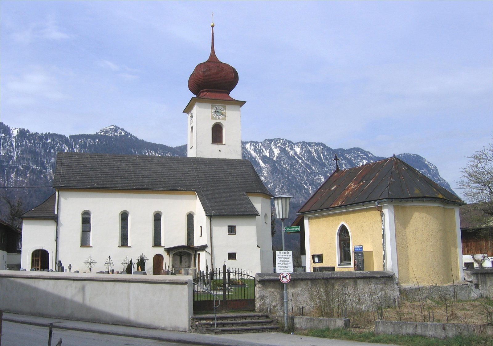
Webcam na żywo
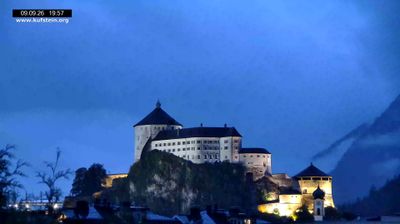
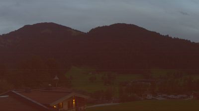
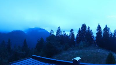
Otwarte wyciągi: 0%
Raport śniegowy
- Ostatnie 24h: 0 cm
- Ostatnie 72h: 0 cm
- Ostatnie 7 dni: 0 cm
- Ostatnie 7 dni: Dolina 0cm · Środek stoku 0cm · Szczyt 0cm
- Suma sezonowa: 0 cm
Ośrodki narciarskie otwarte teraz · Raport śniegowy
About Langkampfen
A quiet Tyrolean retreat where industrial innovation meets traditional farmsteads along the scenic banks of the Inn River.
Highlights
- Rural valley charm
- Tyrolean business hub
- Riverside cycling paths
- Authentic local inns
Key Facts
- Altitude: 491m
- Top lift: 543m
- Ski lifts: 1
- Population: 4,108
- Lakes nearby: 20
- MTB trails: 267.8km
- Mountain huts: 18
Ski Area
Weather and 10-day forecast for Langkampfen
- Today: 5 to 18 °C, clear sky, 12 h of sunshine
- Freezing level today: about 3268 m (2070 to 3920 m)
| Day | Min / max | Sky | Precipitation | Sunshine |
|---|---|---|---|---|
| pt., 25 wrz | 5 / 18 °C | clear sky | dry | 12 h sun |
| sob., 26 wrz | 7 / 22 °C | clear sky | dry | 12 h sun |
| niedz., 27 wrz | 9 / 23 °C | clear sky | dry | 11 h sun |
| pon., 28 wrz | 9 / 25 °C | clear sky | dry | 10 h sun |
| wt., 29 wrz | 11 / 24 °C | clear sky | dry | 11 h sun |
| śr., 30 wrz | 10 / 23 °C | clear sky | dry | 9 h sun |
| czw., 1 paź | 12 / 22 °C | clear sky | dry | 10 h sun |
| pt., 2 paź | 12 / 16 °C | rain | dry | 0 h sun |
| sob., 3 paź | 10 / 23 °C | clear sky | dry | 11 h sun |
| niedz., 4 paź | 12 / 21 °C | drizzle | dry | 1 h sun |
Things to do in Langkampfen
Hikes nearby — Langkampfen (18)
18 curated hiking trails around Langkampfen, sourced from OpenStreetMap and enriched with distance, elevation gain and difficulty.
-
E4 (alpin) Fernwanderweg (Bereich Rofan)
Der Europäische Fernwanderweg E4 ist Teil des europäischen Wanderwegnetzes und soll den südwestlichsten Punkt des europäischen Kontinents in einem großen Bogen durch das westliche Mitteleuropa mit der im Südosten liegenden Insel Zypern verbinden. Der E4 ist mit einer Gesamtlänge von ungefähr 12.090 Kilometern bei weitem der längste aller Europäischen Fernwanderwege.
-
Jakobsweg Böhmen-Bayern-Tirol Variante/Baumgarten
Alternativstrecke, die mehr für Radfahrer geeignet ist
-
Adlerweg Etappe 4
Kufstein - Gasthof Buchacker
-
Adlerweg - Etappe 4 Variante Höhlenstein/Hundalm
The route climbs steeply through forest and open alpine meadows to the Köglhörndl (1.645 m), where a summit cross marks a fine viewpoint, then continues along the ridge to the Hundsalmjoch (1.637 m) with its modern stainless-steel cross. A short detour near the finish leads to the Hundalm Eis- und Tropfsteinhöhle — an ice and stalactite cave — just 20 minutes off the path to the Alpengasthaus Buchacker (1.380 m).
-
Wanderweg 401 - Brandenberger Alpen
-
Achrainerrunde
-
Schmieder Runde
-
Niederbreitenbach-Höhlenstein
-
Osterndorfer-Runde
-
Waldschönauer Runde
-
VBA-Runde
-
Themenweg "Erlebnis der Sinne"
leichte Wanderung vom Dorfplatz Bad Häring zum Kurpark
-
Kraftwerks-Runde
Strecke, die vom Fischergries aus startet
-
Gasthof Alpenhof Runde "Adlerrunde"
-
Inntalblick Runde
-
Themenweg "Bergbau & Kohle"
-
Locherer-Runde
-
Bettlersteig
Mountain biking near Langkampfen
- Thierseer Panoramatour
- Bike Trail Tirol Etappe 09: Kaiserhaus – Kufstein
- Ebenwaldstraße
- Kienbrandstraße
- Mitterwallweg
- Kala Almweg
- Jochalpe
- Hasatalstraße
Getting to Langkampfen
Door-to-door travel times as used by the MR. ALPS ranking.
- Nearest airport: Innsbruck Airport (INN), 65 km away, about 59 min by road
- Innsbruck: 56 min by car, 68 km
- München: 1h12 by car, 102 km
- Bolzano - Bozen: 2h21 by car, 183 km
- Nürnberg: 2h40 by car, 271 km
- Trento: 2h52 by car, 239 km
- Stuttgart: 3h24 by car, 335 km
Where to stay in Langkampfen
200 places to stay for a night on 2026-10-02, from 122 EUR per night, median 257 EUR. Prices are direct with hotels and destinations, compared live on the Langkampfen page.