Langis
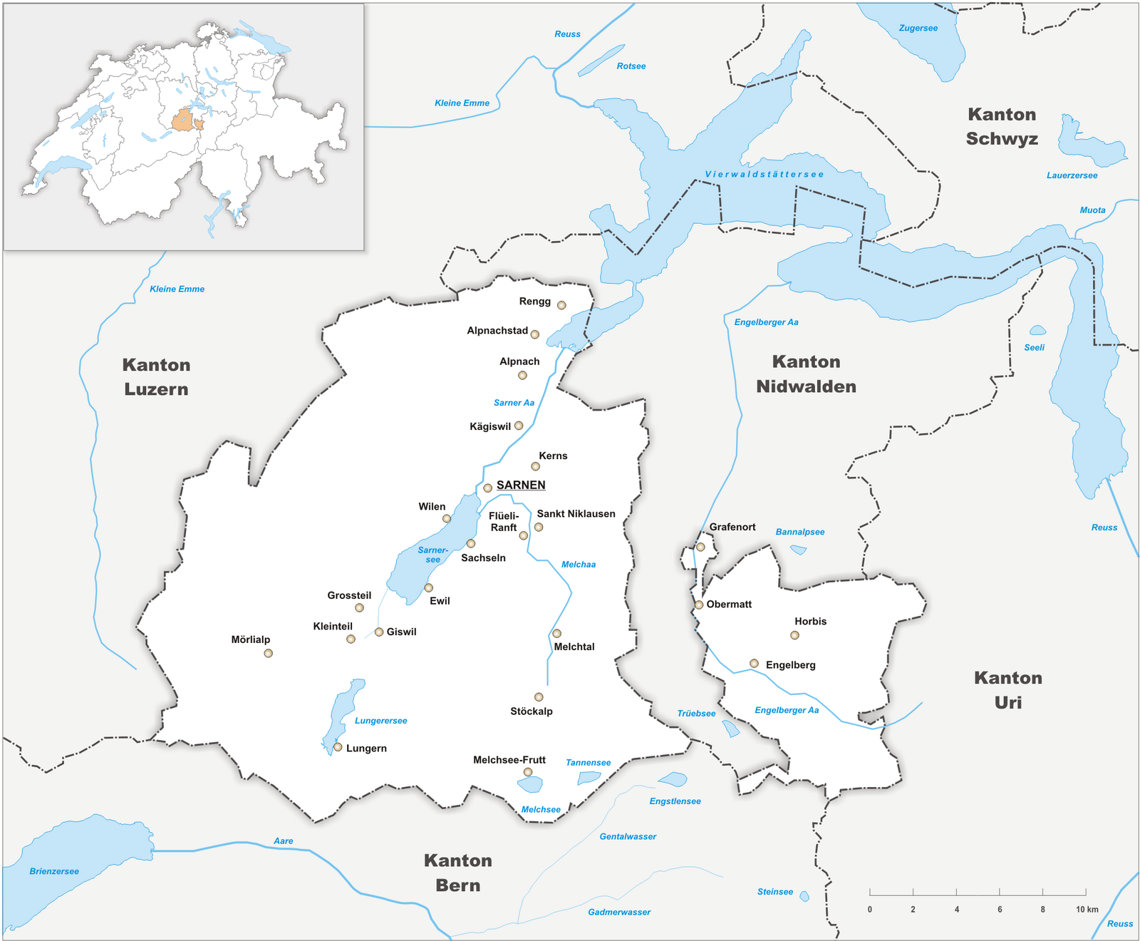
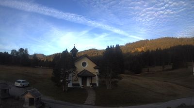
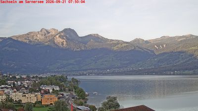
Webcam na żywo

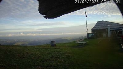
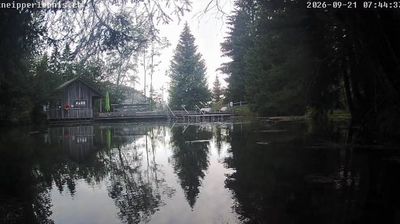

Otwarte wyciągi: 0%
Raport śniegowy
- Ostatnie 24h: 0 cm
- Ostatnie 72h: 0 cm
- Ostatnie 7 dni: 0 cm
- Ostatnie 7 dni: Dolina 0cm · Środek stoku 0cm · Szczyt 0cm
- Suma sezonowa: 0 cm
Ośrodki narciarskie otwarte teraz · Raport śniegowy
About Langis
Obwalden’s quiet secret, this high-altitude moorland is the ultimate escape for purists seeking silent pine forests and vast Nordic trails.
Highlights
- Pristine moorland scenery
- Extensive Nordic trails
- Quiet mountain solitude
- Winter hiking paths
Key Facts
- Altitude: 1507m
- Top lift: 1517m
- Ski pistes: 1km
- Ski lifts: 1
- Population: 3,367
- Lakes nearby: 16
- MTB trails: 242.3km
- Mountain huts: 6
Ski Area
Weather and 10-day forecast for Langis
- Today: 8 to 14 °C, overcast, 2 h of sunshine
- Freezing level today: about 3729 m (3520 to 3950 m)
| Day | Min / max | Sky | Precipitation | Sunshine |
|---|---|---|---|---|
| czw., 24 wrz | 8 / 14 °C | overcast | dry | 2 h sun |
| pt., 25 wrz | 6 / 17 °C | clear sky | dry | 9 h sun |
| sob., 26 wrz | 10 / 19 °C | clear sky | dry | 12 h sun |
| niedz., 27 wrz | 11 / 20 °C | clear sky | dry | 12 h sun |
| pon., 28 wrz | 12 / 20 °C | clear sky | dry | 12 h sun |
| wt., 29 wrz | 11 / 21 °C | clear sky | dry | 12 h sun |
| śr., 30 wrz | 11 / 20 °C | overcast | dry | 3 h sun |
| czw., 1 paź | 10 / 20 °C | partly cloudy | dry | 8 h sun |
| pt., 2 paź | 7 / 12 °C | drizzle | dry | 9 h sun |
| sob., 3 paź | 4 / 15 °C | drizzle | dry | 4 h sun |
Things to do in Langis
Hikes nearby — Langis (20)
20+ curated hiking trails around Langis, sourced from OpenStreetMap and enriched with distance, elevation gain and difficulty.
-
Trans Swiss Trail
-
ViaJacobi
-
Trans Swiss Trail
From the shores of the Sarnersee, the route climbs steeply through lush meadows, pastures, and forest sections to the pilgrimage site of Flüeli-Ranft, where the hermit Niklaus von Flüe retreated into a hillside gorge in 1467. His birthplace, one of Switzerland's oldest wooden dwellings, still stands at the trail's end.
-
Obwaldner Höhenweg
The Obwaldner Höhenweg traces a high-level path with sweeping views into the rugged Melchtal valley — territory of eagles and chamois — before crossing Storegg, a historic pass once walked by pilgrims travelling from Obwalden to the monastery village of Engelberg. Along the way, the route passes quaint alp chapels, climbs to Älggialp near the geographical centre of Switzerland, and crests a rock barrier onto the lofty lake plateau of Melchsee-Frutt.
-
Arni - Frutt
-
Giswil - Giglen/Wilen
-
Sarnen - Giglen/Wilen
-
Storeggpass - Gräfimatt
-
Bruder-Klausen-Weg
-
Dundelalp - Feldmoos
-
Sandboden - Brosmatt
-
Dundelegg - Turren
-
Schmetterlingspfad Lungern
-
Bärgmandlipfad Giswil
-
Via Alpina
-
Obwaldner Höhenweg: Langis - _VZ Schönbüel
-
Trans Swiss Trail: Sörenberg - Giswil Bahnhof
-
Obwaldner Höhenweg: Pilatus - Langis
-
Trans Swiss Trail: Giswil Bahnhof - _VZ Flüeli Ranft
-
Emmenuferweg: Sörenberg - Schüpfheim
Mountain biking near Langis
- Brünig - Käserstatt - Gibel - Lungern - Giswil
- Panorama Bike
Getting to Langis
Door-to-door travel times as used by the MR. ALPS ranking.
- Nearest airport: Zürich Airport (ZRH), 75 km away, about 1h41 by road
- Luzern: 37 min by car, 33 km
- Zürich: 1h13 by car, 84 km
- Bern: 1h40 by car, 80 km
- Basel: 1h40 by car, 127 km
- Biel/Bienne: 1h50 by car, 140 km
- Lausanne: 2h51 by car, 187 km
Where to stay in Langis
19 places to stay for a night on 2026-09-25, from 216 EUR per night, median 395 EUR. Prices are direct with hotels and destinations, compared live on the Langis page.