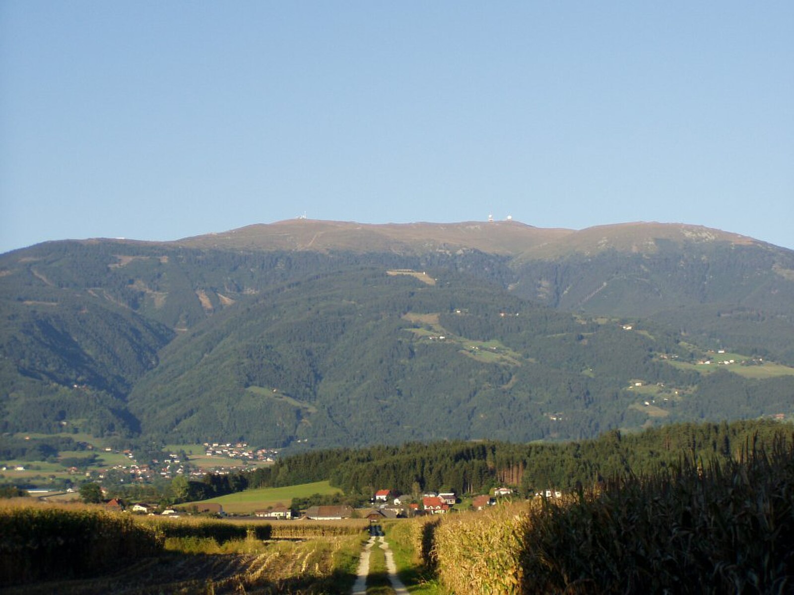
Koralpe
Webcam na żywo


Otwarte wyciągi: 0/5
Raport śniegowy
- Ostatnie 24h: 0 cm
- Ostatnie 72h: 0 cm
- Ostatnie 7 dni: 0 cm
- Ostatnie 7 dni: Dolina 0cm · Środek stoku 0cm · Szczyt 0cm
- Suma sezonowa: 0 cm
Ośrodki narciarskie otwarte teraz · Raport śniegowy
About Koralpe
A family-oriented Carinthian retreat known for its gentle sun-soaked slopes and panoramic views over the Lavant Valley.
Highlights
- Family-friendly terrain
- Panoramic valley views
- Traditional mountain huts
- Gentle alpine cruising
Key Facts
- Altitude: 1641m
- Top lift: 2070m
- Ski pistes: 18km
- Ski lifts: 5
- Lakes nearby: 4
- MTB trails: 30.1km
- Mountain huts: 7
Ski Area
Karnety sezonowe obejmujące tę miejscowość
Weather and 10-day forecast for Koralpe
- Today: 4 to 13 °C, clear sky, 11 h of sunshine
- Freezing level today: about 3723 m (3290 to 3940 m)
| Day | Min / max | Sky | Precipitation | Sunshine |
|---|---|---|---|---|
| sob., 26 wrz | 4 / 13 °C | clear sky | dry | 11 h sun |
| niedz., 27 wrz | 6 / 14 °C | clear sky | dry | 10 h sun |
| pon., 28 wrz | 7 / 13 °C | clear sky | dry | 8 h sun |
| wt., 29 wrz | 5 / 11 °C | partly cloudy | dry | 5 h sun |
| śr., 30 wrz | 5 / 12 °C | mainly clear | dry | 5 h sun |
| czw., 1 paź | 4 / 12 °C | clear sky | dry | 9 h sun |
| pt., 2 paź | 3 / 11 °C | partly cloudy | dry | 7 h sun |
| sob., 3 paź | 5 / 15 °C | overcast | dry | 11 h sun |
| niedz., 4 paź | 6 / 15 °C | clear sky | dry | 11 h sun |
| pon., 5 paź | 3 / 9 °C | rain showers | 13 mm rain | 11 h sun |
Things to do in Koralpe
Hikes nearby — Koralpe (18)
18 curated hiking trails around Koralpe, sourced from OpenStreetMap and enriched with distance, elevation gain and difficulty.
-
Lavanttaler Höhenweg
Ten okrężny szlak długodystansowy przebiega przez dolną i środkową dolinę Lavant, zaczynając i kończąc się w mieście targowym Lavamünd (348 m n.p.m.), a jego najwyższy punkt znajduje się na Koralpe, na Großer Speikkogel (2140 m n.p.m.), skąd roztacza się panoramiczny widok. Mniej więcej co dwie godziny wzdłuż trasy jeden z 23 częściowo nieobsadzonych punktów kontrolnych wyznacza drogę, a oznakowanie szlaku jest utrzymywane przez sekcję Wolfsberg Austriackiego Towarzystwa Alpejskiego.
-
Wanderweg 553
Deutschlandsberg/Bhf. – Schloßweg – Scheidsberg – Freiland bei Deutschlandsberg – Osterwitz – Trahütter Hütte – Poschalm – Poschkreuz – Wildbachalm – Wildbachsattel – Landesgrenze – einmd. Weg 05
-
Via Alpina Purple A18
Koralpenhaus - Pack
-
Nord-Süd Weitwanderweg 505
Hebalm – Gh. Steinbauer – Schrefelhof – Stoffhütte – Wildbachsattel – Weberkogel – Handalm – Weinebene
-
Wanderweg 553
Weberwirt - Strasserhalt - Wildbachsattel
-
Wanderweg 505a
-
Wanderweg 590
Strasserhalt - Weinebene
-
Wanderweg 568b
St. Oswald in Freiland – Gh. Moser – Kote 1119 – Stoffhütte
-
Wanderweg 551
Twimberg - Theißenegg - Stoffhütte
-
Wanderweg 578B
-
Koralm Kristall Trail
The Koralm Kristall Trail crosses the Stubalm and Koralm mountain ranges through colourful alpine meadows, passing marble, quartz, and distinctive rock formations known as "ovens." The area's geology, wildlife, and plants give the route a character that is as much natural history as it is mountain walking.
-
Nord-Süd Weitwanderweg 505
Weinebene – Kote 1748 – Koralpenspeik
-
Nord-Süd-Weitwanderweg 05A
Varianten zu 05 im Raum Packer Sattel
-
Nord-Süd Weitwanderweg 505
Packsattel - Hebalm
-
Wanderweg 505A
-
Grünangerhütte - Rundweg
Weinebene - Grillitschhütte - Bärentalalm - Grünangerhütte - Reihalm - Weinebene
-
Erzwanderweg 2
-
Erzwanderweg 1
Getting to Koralpe
Door-to-door travel times as used by the MR. ALPS ranking.
- Nearest airport: Graz Airport (GRZ), 36 km away, about 1h11 by road
- Graz: 1h45 by car, 93 km
- Wien: 3h27 by car, 255 km
- Padova: 4h33 by car, 389 km
- München: 5h06 by car, 428 km
- Verona: 5h21 by car, 470 km
- Bolzano - Bozen: 5h23 by car, 368 km
Where to stay in Koralpe
44 places to stay for a night on 2026-10-02, from 109 EUR per night, median 669 EUR. Prices are direct with hotels and destinations, compared live on the Koralpe page.