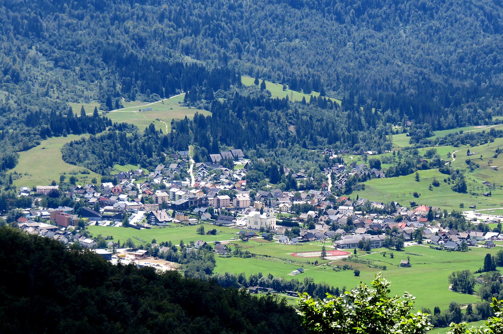
Bohinjska Bistrica
Webcam na żywo
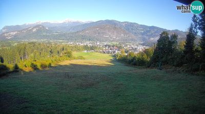
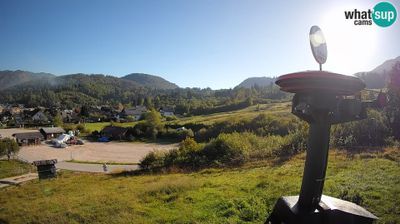
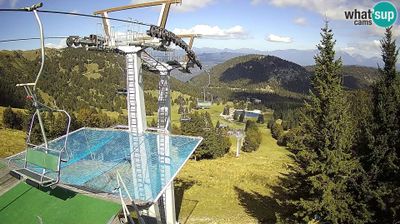
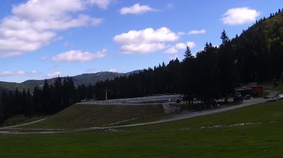
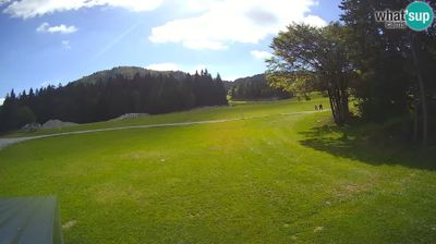
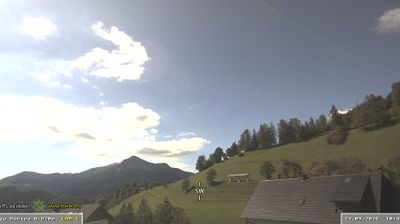
Otwarte wyciągi: 0%
Raport śniegowy
- Ostatnie 24h: 0 cm
- Ostatnie 72h: 0 cm
- Ostatnie 7 dni: 0 cm
- Ostatnie 7 dni: Dolina 0cm · Środek stoku 0cm · Szczyt 0cm
- Suma sezonowa: 0 cm
Ośrodki narciarskie otwarte teraz · Raport śniegowy
About Bohinjska Bistrica
A gateway to the Julian Alps where the vibe is more forest-foraging and lake-mist than high-altitude glitz.
Highlights
- Pristine glacial lake
- Triglav wilderness access
- Eco-conscious retreat
- Authentic Slovenian heritage
Key Facts
- Altitude: 512m
- Top lift: 1495m
- Ski pistes: 1km
- Ski lifts: 1
- Population: 5,256
- Lakes nearby: 5
- MTB trails: 43.1km
- Mountain huts: 20
Ski Area
Weather and 10-day forecast for Bohinjska Bistrica
- Today: 6 to 14 °C, clear sky, 11 h of sunshine
- Freezing level today: about 2931 m (2290 to 3630 m)
| Day | Min / max | Sky | Precipitation | Sunshine |
|---|---|---|---|---|
| pt., 25 wrz | 6 / 14 °C | clear sky | dry | 11 h sun |
| sob., 26 wrz | 7 / 15 °C | clear sky | dry | 11 h sun |
| niedz., 27 wrz | 10 / 18 °C | clear sky | dry | 12 h sun |
| pon., 28 wrz | 11 / 18 °C | clear sky | dry | 11 h sun |
| wt., 29 wrz | 10 / 17 °C | clear sky | dry | 12 h sun |
| śr., 30 wrz | 8 / 17 °C | clear sky | dry | 11 h sun |
| czw., 1 paź | 8 / 16 °C | clear sky | dry | 11 h sun |
| pt., 2 paź | 8 / 16 °C | partly cloudy | dry | 6 h sun |
| sob., 3 paź | 8 / 16 °C | overcast | dry | 2 h sun |
| niedz., 4 paź | 9 / 17 °C | clear sky | dry | 11 h sun |
Things to do in Bohinjska Bistrica
Hikes nearby — Bohinjska Bistrica (18)
18 curated hiking trails around Bohinjska Bistrica, sourced from OpenStreetMap and enriched with distance, elevation gain and difficulty.
-
Juliana Trail
-
Loška planinska pot
From the alpine meadows of Soriška planina (1307 m), the route climbs past Slatnik (1609 m) to the summit of Možic (1602 m), where an old military bunker marks the highest point and a registration box and stamp await — with views stretching across the Lower Bohinj Mountains, Lake Bohinj, and Triglav.
-
Via Alpina Stage 9: Porezen - Črna Prst
This stage crosses the Lower Bohinj mountains of the Julian Alps, whose ridges are visible ahead, beginning at the summit of Porezen and ending at Črna Prst. It forms part of the Via Alpina, a long-distance hiking trail through eight Alpine countries.
-
Via Alpina Stage 10: Črna prst - Dom na Komni
-
Bohinjska Bistrica - Pl. za Črno goro - Črna prst
-
Ravne - Orožnova koča - Črna prst
-
Pot po Rapalski meji
The trail crosses the ridges of Soriška Planina along the former Rapallo border, where concrete boundary markers still stand and the remains of Italian military fortifications — including well-preserved barracks, mule tracks (*mulatjere*), and observation domes — survive from the interwar occupation. This was once a smugglers' frontier, where the border cut off nearly a third of Slovenes from their homeland.
-
Bohinjska Bistrica - Soriška pl.
-
Soriška pl. - Možic
-
Petrovo Brdo - Možic
-
Polje - Črna prst
-
Polje - Orožnova koča
-
Podbrdo - Porezen
-
Soriška peč - Kačji rob
-
Obhodnica Ratitovec
-
Hudajužna - Porezen
-
Jesenica - Kojca
-
Bitenjska pl. - Ratitovec
Mountain biking near Bohinjska Bistrica
- STKP Koča na Blegošu - Koča na Petrovem Brdu
- Family Line
- Expert Line
- Vankaš
Getting to Bohinjska Bistrica
Door-to-door travel times as used by the MR. ALPS ranking.
- Nearest airport: Ljubljana Jože Pučnik Airport (LJU), 38 km away, about 1h37 by road
- Graz: 3h48 by car, 248 km
- Padova: 3h53 by car, 248 km
- Verona: 4h42 by car, 329 km
- Bologna: 5h02 by car, 361 km
- München: 5h13 by car, 397 km
- Brescia: 5h17 by car, 389 km
Where to stay in Bohinjska Bistrica
200 places to stay for a night on 2026-10-02, from 81 EUR per night, median 260 EUR. Prices are direct with hotels and destinations, compared live on the Bohinjska Bistrica page.