Hochschwarzeck – Ramsau bei Berchtesgaden
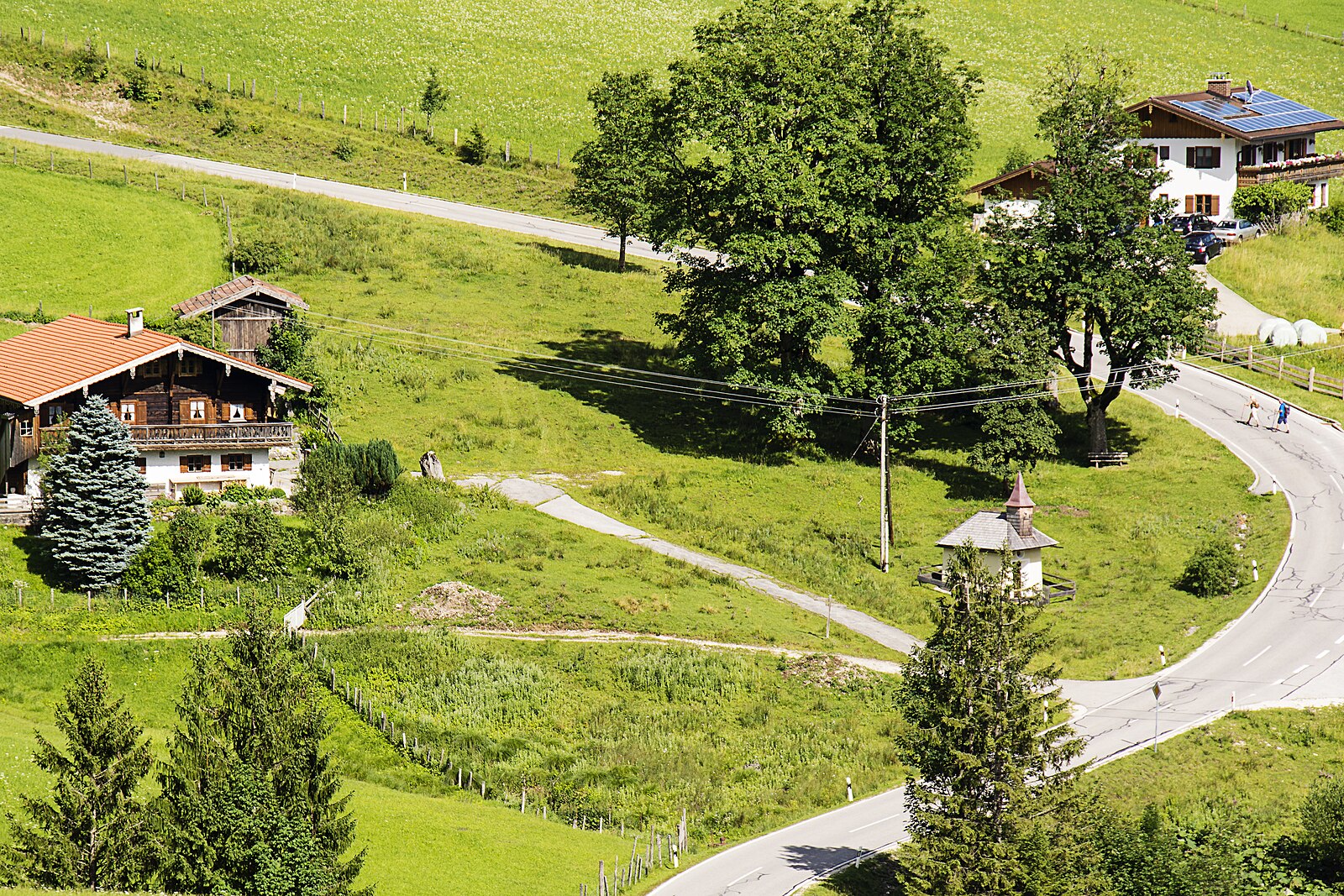
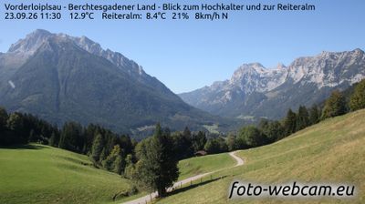
Webcam na żywo
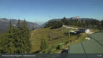
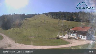
Otwarte wyciągi: 0/4
Raport śniegowy
- Ostatnie 24h: 0 cm
- Ostatnie 72h: 0 cm
- Ostatnie 7 dni: 0 cm
- Ostatnie 7 dni: Dolina 0cm · Środek stoku 0cm · Szczyt 0cm
- Suma sezonowa: 0 cm
Ośrodki narciarskie otwarte teraz · Raport śniegowy
About Hochschwarzeck – Ramsau bei Berchtesgaden
A gentle, family-oriented retreat where traditional Bavarian soul meets the quiet grandeur of the Berchtesgaden National Park.
Highlights
- Traditional Alpine huts
- Family-friendly slopes
- Pristine hiking trails
- Authentic Bavarian charm
Key Facts
- Altitude: 1037m
- Top lift: 1390m
- Ski pistes: 4km
- Ski lifts: 3
- Population: 1,683
- Lakes nearby: 10
- MTB trails: 179.3km
- Mountain huts: 21
Ski Area
Weather and 10-day forecast for Hochschwarzeck – Ramsau bei Berchtesgaden
- Today: 6 to 12 °C, rain showers, 1 h of sunshine
- Freezing level today: about 2717 m (2120 to 3230 m)
| Day | Min / max | Sky | Precipitation | Sunshine |
|---|---|---|---|---|
| czw., 24 wrz | 6 / 12 °C | rain showers | dry | 1 h sun |
| pt., 25 wrz | 4 / 12 °C | clear sky | dry | 10 h sun |
| sob., 26 wrz | 8 / 17 °C | clear sky | dry | 7 h sun |
| niedz., 27 wrz | 9 / 20 °C | partly cloudy | dry | 8 h sun |
| pon., 28 wrz | 12 / 21 °C | clear sky | dry | 10 h sun |
| wt., 29 wrz | 11 / 21 °C | clear sky | dry | 11 h sun |
| śr., 30 wrz | 12 / 21 °C | clear sky | dry | 11 h sun |
| czw., 1 paź | 9 / 19 °C | clear sky | dry | 9 h sun |
| pt., 2 paź | 8 / 15 °C | drizzle | dry | 1 h sun |
| sob., 3 paź | 6 / 14 °C | drizzle | dry | 4 h sun |
Things to do in Hochschwarzeck – Ramsau bei Berchtesgaden
Hikes nearby — Hochschwarzeck – Ramsau bei Berchtesgaden (20)
20+ curated hiking trails around Hochschwarzeck – Ramsau bei Berchtesgaden, sourced from OpenStreetMap and enriched with distance, elevation gain and difficulty.
-
AV Weg 470
-
Via Alpina Purple A43
Engedey - Neue Traunsteiner Hütte
-
Via Alpina Purple A42
Königssee - Engedey
-
Wanderweg 66
-
Wanderweg 73 (Pfaffenthal-Rundweg)
-
Wanderweg 74a
-
Wanderweg 67
-
Wanderweg 68 - Ramsau
-
Wanderweg 67a
-
Wanderweg 70 (Rund um den Toten Mann)
-
Wanderweg 69 - Ramsau
-
Wanderweg 75a
-
Wanderweg 65 (Kunterweg)
-
Wanderweg 2 (Saumweg)
The trail begins at the Hochschwarzeck car park and descends from the top of the Hirscheck Sesselbahn, dropping to a steep but short climb up to the Bezoldhütte on the summit of the Toten Mann. In winter, the same path is cleared as the ascent route for the "Hirscheckblitz" natural toboggan run and draws ski tourers as well.
-
Wanderweg 71 (Rund um den Taubensee)
-
Wanderweg 75 (Rund um den Schmuckenstein)
Forested ridgeline paths wind between the Hochschwarzeck and the Lattengebirge, passing the Schmuckenlehen — one of the highest-situated mountain farms in the Berchtesgadener Land — before reaching the Mordaualm, where cattle graze and sudden clearings open onto unobstructed views of the Watzmann and Hochkalter.
-
Wanderweg 72 (König-Max-Weg)
-
Wanderweg 1 (Soleleitungsweg)
Salzbergwerk Berchtesgaden - Söldenköpfl - Zipfhäusl - Schwarzbachwacht
-
Wanderweg 64
-
Wanderweg 74
See all 20 hikes near Hochschwarzeck – Ramsau bei Berchtesgaden
Mountain biking near Hochschwarzeck – Ramsau bei Berchtesgaden
- Watzmann-Hochkönig Süd-Runde: Etappe 3: Variante über Bluntautal und C. v. Stahl Haus
- Hochbahn
- König-Max-Weg
All MTB trails near Hochschwarzeck – Ramsau bei Berchtesgaden
Getting to Hochschwarzeck – Ramsau bei Berchtesgaden
Door-to-door travel times as used by the MR. ALPS ranking.
- Nearest airport: Salzburg Airport (SZG), 20 km away, about 37 min by road
- München: 1h51 by car, 157 km
- Innsbruck: 2h14 by car, 146 km
- Nürnberg: 3h20 by car, 325 km
- Graz: 3h30 by car, 265 km
- Bolzano - Bozen: 3h40 by car, 261 km
- Wien: 3h42 by car, 332 km
Where to stay in Hochschwarzeck – Ramsau bei Berchtesgaden
200 places to stay for a night on 2026-09-25, from 209 EUR per night, median 303 EUR. Prices are direct with hotels and destinations, compared live on the Hochschwarzeck – Ramsau bei Berchtesgaden page.