Großreifling (Landl)
Webcam na żywo


Otwarte wyciągi: 0%
Raport śniegowy
- Ostatnie 24h: 0 cm
- Ostatnie 72h: 0 cm
- Ostatnie 7 dni: 0 cm
- Ostatnie 7 dni: Dolina 0cm · Środek stoku 0cm · Szczyt 0cm
- Suma sezonowa: 0 cm
Ośrodki narciarskie otwarte teraz · Raport śniegowy
About Großreifling (Landl)
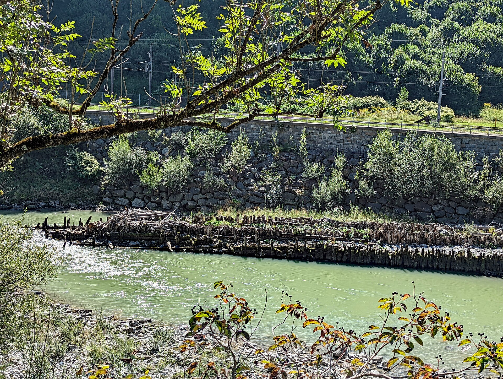
A quiet timber-trading outpost serving as the gateway to the rugged Enns river and the limestone peaks of the Gesäuse.
Highlights
- Historic timber rafting
- Wild river rafting
- Limestone mountain views
- National park access
Key Facts
- Altitude: 459m
- Top lift: 520m
- Ski lifts: 2
- Population: 199
- Lakes nearby: 2
- MTB trails: 337.7km
- Mountain huts: 9
Ski Area
Weather and 10-day forecast for Großreifling (Landl)
- Today: 8 to 15 °C, clear sky, 9 h of sunshine
- Freezing level today: about 2546 m (1920 to 3400 m)
| Day | Min / max | Sky | Precipitation | Sunshine |
|---|---|---|---|---|
| pt., 25 wrz | 8 / 15 °C | clear sky | dry | 9 h sun |
| sob., 26 wrz | 8 / 20 °C | clear sky | dry | 11 h sun |
| niedz., 27 wrz | 9 / 24 °C | partly cloudy | dry | 6 h sun |
| pon., 28 wrz | 12 / 24 °C | partly cloudy | dry | 5 h sun |
| wt., 29 wrz | 12 / 23 °C | clear sky | dry | 12 h sun |
| śr., 30 wrz | 15 / 24 °C | clear sky | dry | 12 h sun |
| czw., 1 paź | 14 / 23 °C | clear sky | dry | 12 h sun |
| pt., 2 paź | 9 / 23 °C | clear sky | dry | 10 h sun |
| sob., 3 paź | 11 / 20 °C | drizzle | dry | 0 h sun |
| niedz., 4 paź | 7 / 23 °C | clear sky | dry | 11 h sun |
Things to do in Großreifling (Landl)
Hikes nearby — Großreifling (Landl) (13)
13 curated hiking trails around Großreifling (Landl), sourced from OpenStreetMap and enriched with distance, elevation gain and difficulty.
-
Wanderweg 646
Gstatterboden - Kropfbründl - Niederscheibenalm - Ennstalerhütte - Bärensattel - Kothleiten - Tamischbach - Fh. Hackerschmiede - Großreifling
-
Wanderweg 644
Gh. Eisenzieher – Kote 587 – Grießbach – Kote 1036 – Sparerriegel – Kleiner Buchstein - Einmündung Weg 645 - Haslingeralm - Bruckwirthalm - Mühlbach - Einmündung Weg 650
-
Wanderweg 608
Teil von Weitwanderweg 08 (Gesäuse)
-
Wanderweg 647
-
Luchs Trail Etappe 7
-
Wanderweg 649
-
Wanderweg 650
Erbsattel - (gleich wie 08) - Mühlbach - Bärensattel - Einmündung Weg 646
-
Wanderweg 12
-
Tamischbach-Reiterwiese/Hahnenwiese
-
Landler Spazierwege Weg Nr. #6
-
Gasteiger Rundwanderweg
-
Landler Spazierwege Weg Nr. #13
-
GeoPfad
Mountain biking near Großreifling (Landl)
- Buchsteinrunde
- Trans Nationalpark - Etappe 4
- LN15 - Kaiserschildrunde
- MTB - Schüttbauernalm
- Trans Nationalpark - Etappe 6
- Hochscheiben
- Trans Nationalpark - Etappe 5
Getting to Großreifling (Landl)
Door-to-door travel times as used by the MR. ALPS ranking.
- Nearest airport: Linz-Hörsching Airport (LNZ), 75 km away, about 1h38 by road
- Graz: 1h36 by car, 106 km
- Wien: 2h29 by car, 186 km
- München: 3h40 by car, 313 km
- Innsbruck: 4h18 by car, 369 km
- Nürnberg: 4h22 by car, 408 km
- Bolzano - Bozen: 5h44 by car, 484 km
Where to stay in Großreifling (Landl)
33 places to stay for a night on 2026-09-25, from 131 EUR per night, median 368 EUR. Prices are direct with hotels and destinations, compared live on the Großreifling (Landl) page.