Gantrisch Gurnigel
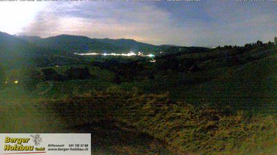
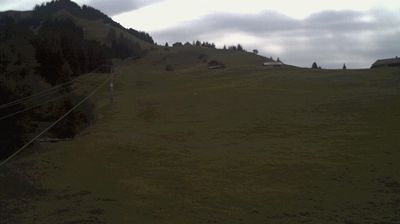
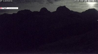
Webcam na żywo


Otwarte wyciągi: 0%
Raport śniegowy
- Ostatnie 24h: 0 cm
- Ostatnie 72h: 0 cm
- Ostatnie 7 dni: 0 cm
- Ostatnie 7 dni: Dolina 0cm · Środek stoku 0cm · Szczyt 0cm
- Suma sezonowa: 0 cm
Ośrodki narciarskie otwarte teraz · Raport śniegowy
About Gantrisch Gurnigel
A dark-sky sanctuary where Bernese locals escape the fog for cross-country trails and panoramic views of the high peaks.
Highlights
- Stargazing sanctuary
- Nordic skiing hub
- Bernese weekend escape
- Unobstructed peak views
Key Facts
- Altitude: 1132m
- Top lift: 1590m
- Ski pistes: 6km
- Ski lifts: 3
- Lakes nearby: 10
- MTB trails: 172.9km
- Mountain huts: 12
Ski Area
Karnety sezonowe obejmujące tę miejscowość
Weather and 10-day forecast for Gantrisch Gurnigel
- Today: 8 to 16 °C, clear sky, 10 h of sunshine
- Freezing level today: about 4108 m (3730 to 4360 m)
| Day | Min / max | Sky | Precipitation | Sunshine |
|---|---|---|---|---|
| pt., 25 wrz | 8 / 16 °C | clear sky | dry | 10 h sun |
| sob., 26 wrz | 11 / 19 °C | clear sky | dry | 10 h sun |
| niedz., 27 wrz | 12 / 21 °C | clear sky | dry | 12 h sun |
| pon., 28 wrz | 12 / 21 °C | clear sky | dry | 9 h sun |
| wt., 29 wrz | 12 / 20 °C | overcast | dry | 4 h sun |
| śr., 30 wrz | 12 / 21 °C | clear sky | dry | 10 h sun |
| czw., 1 paź | 12 / 20 °C | partly cloudy | dry | 6 h sun |
| pt., 2 paź | 8 / 14 °C | drizzle | dry | 1 h sun |
| sob., 3 paź | 6 / 15 °C | drizzle | dry | 1 h sun |
| niedz., 4 paź | 8 / 14 °C | drizzle | dry | 1 h sun |
Things to do in Gantrisch Gurnigel
Hikes nearby — Gantrisch Gurnigel (20)
20+ curated hiking trails around Gantrisch Gurnigel, sourced from OpenStreetMap and enriched with distance, elevation gain and difficulty.
-
Gantrisch Panoramaweg
A ridge-top path through the Naturpark Gantrisch, where panorama boards at viewpoints like Selibühl and Schüpfenfluh orient you toward the Gantrischkette peaks to the south and the Berner Mittelland stretching north to the Jura. The route's strangest landmark is the Gäggersteg, a wooden elevated walkway threading through the tangle of fallen trees and upended root plates left behind by the 1999 hurricane Lothar.
-
ViaJacobi
-
Selibüel Rundweg
The Selibüel Rundweg loops through a strictly protected nature reserve in the Gantrisch region, where dead trees left untouched since the 1999 storm Lothar rise like totem poles against the sky, sheltering insects, lichens, mosses, and a resident black grouse population. A panorama board at the Selibüel viewpoint faces east, taking in a sweep from the Napf and the central Swiss mountains to the 4000-metre peaks of the Bernese Oberland on clear days.
-
Schwändli - Gurnigel Berghaus
-
Feli - Rüschegg / Rütiplötsch
-
Wislisau - Feli
-
Alpenpanorama-Weg
-
Alpenpanorama-Weg
-
Alpenpanorama-Weg
-
Henzischwand - Granegg/Burgruine
-
Rüeggisberg - Riedstettwald
-
Rüeggisberg - Schwanden
-
Laubbach - Brönnti Egg
-
Schwarzwasser Sense Schluchtenweg
-
Gürbetaler Höhenweg
Gürbetaler Höhenweg to 27-kilometrowy szlak turystyczny w szwajcarskim Naturpark Gantrisch, w regionie Berna, powyżej rzeki Gürbe.
-
Gürbe-Wildwasserweg
-
Gantrisch-Panoramaweg
-
ViaJacobi: Wattenwil - Schwarzenburg
-
Alpenpanorama-Weg: Rüeggisberg - BE-38031
-
Schwarzwasser-Sense-Schluchtenweg: Schwarzwasserbrücke - Schwarzenburg
Mountain biking near Gantrisch Gurnigel
- Panorama Bike - Etappe 11
- Gantrisch Königsroute
- Gurnigelwald-Gürbe
- Rund ums Guggershorn
- Gibelegg
Getting to Gantrisch Gurnigel
Door-to-door travel times as used by the MR. ALPS ranking.
- Nearest airport: Bern Airport (BRN), 17 km away, about 29 min by road
- Bern: 36 min by car, 29 km
- Biel/Bienne: 1h06 by car, 71 km
- Lausanne: 1h35 by car, 110 km
- Basel: 1h41 by car, 126 km
- Luzern: 1h50 by car, 142 km
- Zürich: 2h02 by car, 153 km
Where to stay in Gantrisch Gurnigel
15 places to stay for a night on 2026-09-25, from 181 EUR per night, median 189 EUR. Prices are direct with hotels and destinations, compared live on the Gantrisch Gurnigel page.