Flumserberg
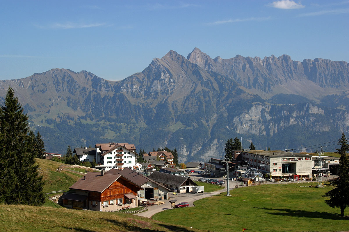
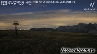
Webcam na żywo
Otwarte wyciągi: 0/17
Raport śniegowy
- Ostatnie 24h: 0 cm
- Ostatnie 72h: 0 cm
- Ostatnie 7 dni: 0 cm
- Ostatnie 7 dni: Dolina 0cm · Środek stoku 0cm · Szczyt 0cm
- Suma sezonowa: 7.6 cm
Ośrodki narciarskie otwarte teraz · Raport śniegowy
About Flumserberg
Zurich’s favorite backyard playground, known for its swift lake-to-mountain access and family-friendly weekend energy.
Highlights
- Lake Walen views
- Weekend commuter crowds
- Heidi-themed trails
- Night sledding runs
Key Facts
- Altitude: 1389m
- Top lift: 2222m
- Ski pistes: 65km
- Ski lifts: 17
- Population: 800
- Lakes nearby: 19
- MTB trails: 245.8km
- Mountain huts: 22
Ski Area
Karnety sezonowe obejmujące tę miejscowość
Weather and 10-day forecast for Flumserberg
- Today: 6 to 13 °C, overcast, 2 h of sunshine
- Freezing level today: about 3461 m (2870 to 3840 m)
| Day | Min / max | Sky | Precipitation | Sunshine |
|---|---|---|---|---|
| czw., 24 wrz | 6 / 13 °C | overcast | dry | 2 h sun |
| pt., 25 wrz | 5 / 13 °C | clear sky | dry | 10 h sun |
| sob., 26 wrz | 9 / 17 °C | clear sky | dry | 11 h sun |
| niedz., 27 wrz | 10 / 18 °C | clear sky | dry | 12 h sun |
| pon., 28 wrz | 12 / 19 °C | clear sky | dry | 12 h sun |
| wt., 29 wrz | 12 / 20 °C | clear sky | dry | 12 h sun |
| śr., 30 wrz | 10 / 20 °C | clear sky | dry | 12 h sun |
| czw., 1 paź | 9 / 18 °C | partly cloudy | dry | 7 h sun |
| pt., 2 paź | 7 / 11 °C | drizzle | dry | 10 h sun |
| sob., 3 paź | 7 / 12 °C | drizzle | dry | 0 h sun |
Things to do in Flumserberg
Hikes nearby — Flumserberg (20)
20+ curated hiking trails around Flumserberg, sourced from OpenStreetMap and enriched with distance, elevation gain and difficulty.
-
WALSA-Weg - Etappe 2
-
7-Gipfel-Tour Flumserberg
A point-to-point ridge walk that crosses seven peaks and passes fourteen lakes, with views stretching across the mountain kingdoms of St. Gallen, Graubünden, Glarus, and Central Switzerland. The Churfirsten massif forms a backdrop as the route threads between Maschgenkamm and Tannenbodenalp, with a mountain railway available to ease the climbs.
-
WALSA-Weg - Etappe 3
-
Rohan Rothirsch Erlebnisweg
Children solve puzzles and complete hands-on tasks at various stations along the route, following the story of Rohan the red deer. The trail runs through Flumserberg's mountain landscape high above Lake Walen.
-
Unterterzen-Walenstadt
The route climbs from the shores of the Walensee up into a varied mountain world, crossing the Maschgenkamm ridge where the panorama opens on one side to the Spitzmeilen massif and on the other to the jagged Churfirsten and Alviergruppe chains looming above the lake. The trail also takes in the celebrated 7-Gipfel-Tour, one of the region's signature highlights.
-
Quarten - Oberterzen
-
Bergheim Vadella - Bildbrugg
-
Pluder - Bergheim Vadella
-
Panüöl - Fursch
This short winter hike departs from Panüöl — reached via gondola from Tannenboden to Maschgenkamm and then a 6-person chairlift down — and unfolds with views of the Spitzmeilen against the surrounding mountain scenery. The trail sits within the UNESCO World Heritage Tectonic Arena Sardona, between a highest point of 1,837 m and a lowest of 1,790 m.
-
Schönhalden Flums
-
Walenstadt - Pluder
-
Quinten Seeweg
-
rote Raute
-
Walenstadtberg - Quinten
The trail combines shady forest sections with sweeping views of mountain and lake, descending in a zigzag course through the woods before reaching the shoreline of the Walensee. The picturesque village of Quinten waits at the end of the route as a reward for the effort.
-
Alpenpanorama-Weg
-
WALSA-Weg: Bergheim - Murg Bhf Süd
-
Churfirsten-Weg
-
WALSA-Weg: Murg Bhf Süd - Amden
-
Sardona-Welterbe-Weg: Spitzmeilenhütte SAC - Weisstannen
-
Sardona-Welterbe-Weg: Spitzmeilenhütte SAC - Weisstannen
Mountain biking near Flumserberg
- Flumserberg-Panoramabike
- See-Abfahrt Flumserberg
- Red Rock
- Blue Salamander
- BlueSalamander
- Blue Bunny
- Alpweg
- Steinweg
Getting to Flumserberg
Door-to-door travel times as used by the MR. ALPS ranking.
- Nearest airport: Zürich Airport (ZRH), 69 km away, about 1h32 by road
- Zürich: 1h14 by car, 95 km
- Luzern: 1h33 by car, 117 km
- Basel: 2h11 by car, 177 km
- Biel/Bienne: 2h37 by car, 215 km
- Bern: 2h38 by car, 217 km
- Innsbruck: 2h50 by car, 214 km
Where to stay in Flumserberg
90 places to stay for a night on 2026-09-25, from 187 EUR per night, median 371 EUR. Prices are direct with hotels and destinations, compared live on the Flumserberg page.