Filzmoos
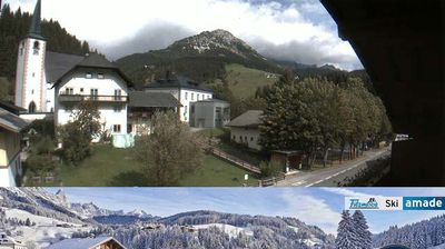
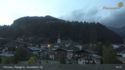
Webcam na żywo
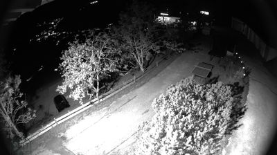
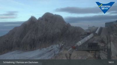
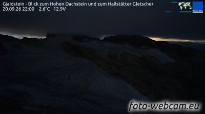
Otwarte wyciągi: 0/8
Raport śniegowy
- Ostatnie 24h: 0 cm
- Ostatnie 72h: 0 cm
- Ostatnie 7 dni: 0 cm
- Ostatnie 7 dni: Dolina 0cm · Środek stoku 0cm · Szczyt 0cm
- Suma sezonowa: 0 cm
Ośrodki narciarskie otwarte teraz · Raport śniegowy
About Filzmoos
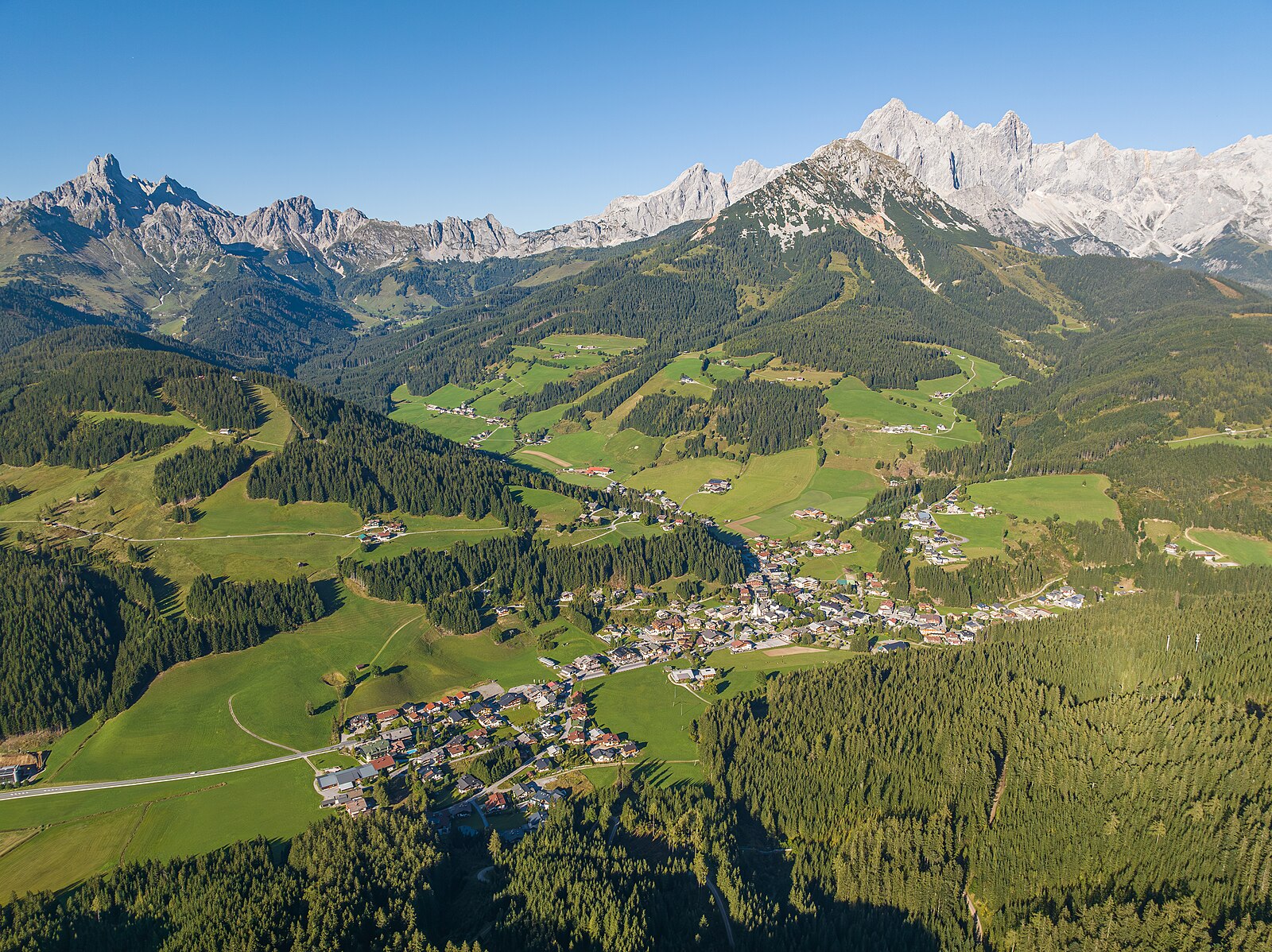
A quiet Austrian sanctuary where hot air balloons drift over timbered houses, offering a slow-paced alternative to the high-octane resorts.
Highlights
- Hot air ballooning
- Traditional wooden chalets
- Family-run guesthouses
- Serene winter hiking
Key Facts
- Altitude: 1055m
- Top lift: 1591m
- Ski pistes: 20km
- Ski lifts: 8
- Population: 1,484
- Lakes nearby: 11
- MTB trails: 555.2km
- Mountain huts: 54
Ski Area
Karnety sezonowe obejmujące tę miejscowość
Weather and 10-day forecast for Filzmoos
- Today: 2 to 13 °C, clear sky, 13 h of sunshine
- Freezing level today: about 2901 m (2020 to 3420 m)
| Day | Min / max | Sky | Precipitation | Sunshine |
|---|---|---|---|---|
| śr., 23 wrz | 2 / 13 °C | clear sky | dry | 13 h sun |
| czw., 24 wrz | 5 / 13 °C | rain showers | dry | 1 h sun |
| pt., 25 wrz | 3 / 12 °C | clear sky | dry | 12 h sun |
| sob., 26 wrz | 4 / 18 °C | clear sky | dry | 12 h sun |
| niedz., 27 wrz | 7 / 21 °C | clear sky | dry | 12 h sun |
| pon., 28 wrz | 8 / 22 °C | clear sky | dry | 11 h sun |
| wt., 29 wrz | 8 / 23 °C | clear sky | dry | 11 h sun |
| śr., 30 wrz | 9 / 22 °C | clear sky | dry | 11 h sun |
| czw., 1 paź | 8 / 19 °C | overcast | dry | 1 h sun |
| pt., 2 paź | 7 / 11 °C | drizzle | dry | 0 h sun |
Things to do in Filzmoos
Hikes nearby — Filzmoos (12)
12 curated hiking trails around Filzmoos, sourced from OpenStreetMap and enriched with distance, elevation gain and difficulty.
-
Arnoweg (Kalkberge Ost)
-
Wanderweg 670
The Rötelstein (2247 m) rises as a cone-shaped peak northeast of Filzmoos, demanding sure-footedness across loose scree and light scrambling sections along an airy ridge. From the summit, the views stretch across the Dachstein south face, the Gosaustein, and distant giants including the Großglockner and Großvenediger.
-
Wanderweg 460
-
Wanderweg 638
Rettensteinhütte - Sulzenhals - Bachlalm
-
Wanderweg 639
The Rötelstein (2247 m) rises as a cone-shaped peak northeast of Filzmoos, and the route tackles a ridge ascent over loose scree and light scrambling sections before delivering panoramic views of the Dachstein south face, Gosaustein, Großglockner, and Großvenediger. The descent via the Sulzenhals leads to the Sulzenalm, where two mountain huts — the Wallehenhütte and Krahlehenhütte — offer a rest before the return to the Rettensteinhütte trailhead.
-
Wanderweg 617
-
Wanderweg 461
The route climbs north from Radstadt past Mauer Castle and through sparse forests to the Radstädterhütte, a mountain hut offering regional cuisine and overnight stays with a great view. The summit destination is the Rossbrand, with a high-moor area (Hochmoorgebiet) just below the peak.
-
Wanderweg 462
-
Wanderweg 671
Ramsau - Wh. Edelbrunn - Brandriedel - Austriahütte - Hotel Dachstein - Maralm - Brandwald - Landesgrenze
-
Wanderweg 612
Vorderer Gosausee - Steiglpass - Hofpürglhütte - Unterhofalm
-
Wanderweg 614
-
Almspaziergang
Mountain biking near Filzmoos
- Radstadt Rossbrand Runde SW 13
- Bürgerberg-Rossbrand-Runde
- Schwarze Lacke Runde SW03
- Sattei Runde SW04
- Moosalm Runde SW08
- Kleinbergalm Runde
- Schnitzberg Runde SW02
- Variante Schwaigalm SW-V-03
Getting to Filzmoos
Door-to-door travel times as used by the MR. ALPS ranking.
- Nearest airport: Salzburg Airport (SZG), 56 km away, about 1h by road
- München: 2h21 by car, 205 km
- Graz: 2h36 by car, 185 km
- Innsbruck: 2h55 by car, 244 km
- Wien: 3h47 by car, 302 km
- Nürnberg: 3h50 by car, 374 km
- Bolzano - Bozen: 4h20 by car, 359 km
Where to stay in Filzmoos
200 places to stay for a night on 2026-09-25, from 144 EUR per night, median 223 EUR. Prices are direct with hotels and destinations, compared live on the Filzmoos page.