Donnersbachwald
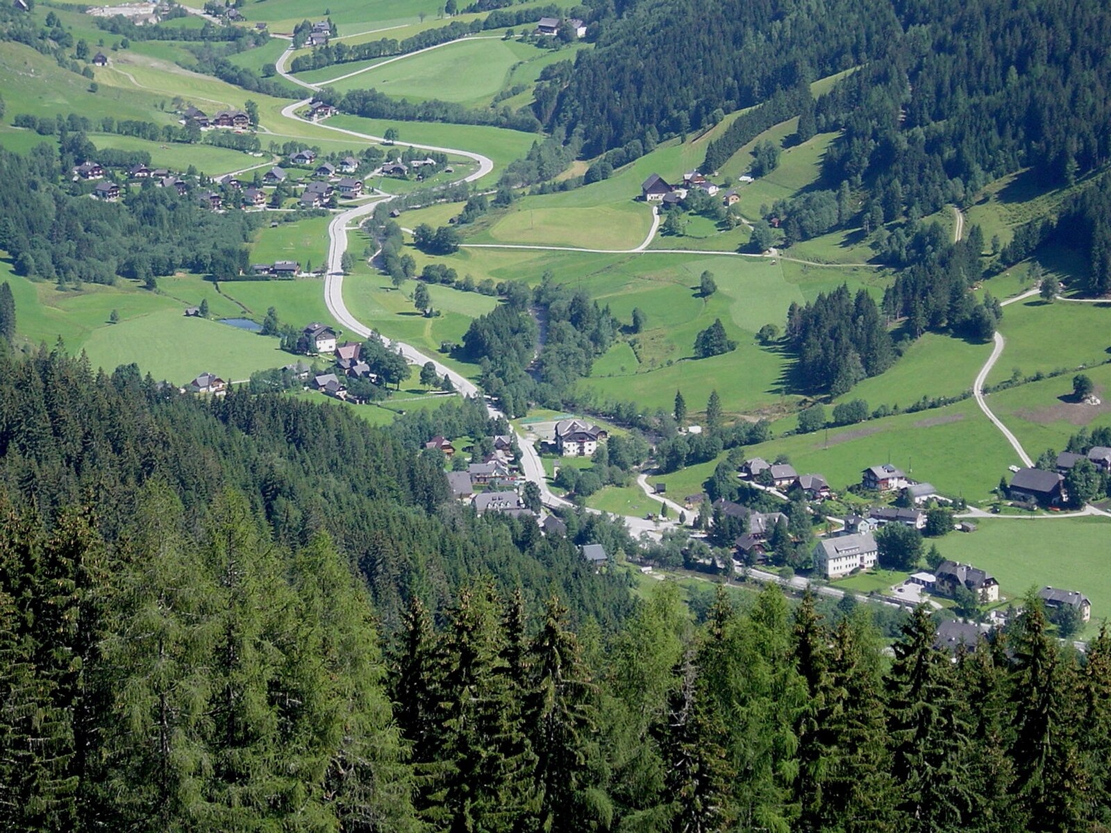
Webcam na żywo

Otwarte wyciągi: 0/7
Raport śniegowy
- Ostatnie 24h: 0 cm
- Ostatnie 72h: 0 cm
- Ostatnie 7 dni: 0 cm
- Ostatnie 7 dni: Dolina 0cm · Środek stoku 0cm · Szczyt 0.1cm
- Suma sezonowa: 0.8 cm
Ośrodki narciarskie otwarte teraz · Raport śniegowy
About Donnersbachwald
A secluded Styrian hideaway where deep snow and authentic farmhouse hospitality define a quiet escape from the modern world.
Highlights
- Deep valley snow
- Traditional farmhouse inns
- Family-run atmosphere
- Untouched winter landscapes
Key Facts
- Altitude: 977m
- Top lift: 1820m
- Ski pistes: 32km
- Ski lifts: 7
- Population: 314
- Lakes nearby: 20
- MTB trails: 77.9km
- Mountain huts: 14
Ski Area
Karnety sezonowe obejmujące tę miejscowość
Weather and 10-day forecast for Donnersbachwald
- Today: 2 to 11 °C, clear sky, 11 h of sunshine
- Freezing level today: about 2485 m (1900 to 3370 m)
| Day | Min / max | Sky | Precipitation | Sunshine |
|---|---|---|---|---|
| pt., 25 wrz | 2 / 11 °C | clear sky | dry | 11 h sun |
| sob., 26 wrz | 5 / 16 °C | clear sky | dry | 12 h sun |
| niedz., 27 wrz | 8 / 19 °C | clear sky | dry | 12 h sun |
| pon., 28 wrz | 10 / 20 °C | clear sky | dry | 12 h sun |
| wt., 29 wrz | 10 / 19 °C | clear sky | dry | 12 h sun |
| śr., 30 wrz | 9 / 15 °C | clear sky | dry | 11 h sun |
| czw., 1 paź | 8 / 17 °C | clear sky | dry | 11 h sun |
| pt., 2 paź | 8 / 17 °C | clear sky | dry | 8 h sun |
| sob., 3 paź | 7 / 15 °C | drizzle | dry | 3 h sun |
| niedz., 4 paź | 5 / 17 °C | clear sky | dry | 11 h sun |
Things to do in Donnersbachwald
Hikes nearby — Donnersbachwald (13)
13 curated hiking trails around Donnersbachwald, sourced from OpenStreetMap and enriched with distance, elevation gain and difficulty.
-
Wanderweg 918
Mößna - Mößnabach - Seifriedbach - Breitlahnalm - Gsengalm - Seifriedalm - Seifriedsenke - Seifriedspitz - Weg 927
-
Wanderweg 902
Karlscharte – Michelirlingalm – Gh. Perwein – Donnersbachwald – Mörsbachhütte – Hintere Mörsbachalm – Gstemmerscharte – Mößna – St. Nikolai im Sölktal
-
Wanderweg 913
Mörsbachhütte - Schusterboden - Lämmertörl
-
Wanderweg 911
Großes Bärneck – Gstemmerscharte – Sonntagskarspitze – Mößnascharte – Lämmertörl
-
Wanderweg 919
Glattjochstraße/Christerbauer - Finsterkaralm - Finsterkarspitz - Großes Bärneck - Hintere Mörsbachalm - Mörsbachalm
-
Salzsteigweg 909
The Salzsteigweg 909 climbs steeply through the Mörsbachtal along the Mörsbach stream, threading past the Mörsbachhütte and the Hintere Mörsbachalm before pushing through dense alder scrub and tight switchbacks to the Gstemmerscharte at over 2000 m. The route follows a corridor used for salt trading for more than 3,200 years, connecting the Ennstal to the Murtal over the highest pass in Styria.
-
Wanderweg 913
Öblarn – Walchenbach – Gh. Zum Bergkreuz – ÖAV Walchenhaus – Englitztal Hütte – Ramertalalm – Lämmertörl
-
Wanderweg 911
Großsölk – Schlein – Kote 1132 – Schönwetter Hütte – Blockfeldspitze – Gumpeneck – Kühofenspitz – Hangofen – Lämmertörlkopf – Lämmertörl
-
Steirischer Landesrundwanderweg Alternative
-
Gstanzlweg
1. Steirischer Gstanzlweg
-
Wanderweg 6
Riesneralm - Hochsitz (unter Riesnerkrispen) - Hintere Mörsbachalm
-
Dorfrunde
-
Geologischer Wanderweg
Zeitreise durch die Sölktäler, die letzten 500 Millionen Jahre
Mountain biking near Donnersbachwald
- Planneralm Runde
- Stallaalm Runde
- Mörsbach Runde
- Riedleralm Tour
Getting to Donnersbachwald
Door-to-door travel times as used by the MR. ALPS ranking.
- Nearest airport: Linz-Hörsching Airport (LNZ), 96 km away, about 1h53 by road
- Graz: 1h55 by car, 146 km
- Wien: 3h07 by car, 263 km
- München: 3h15 by car, 276 km
- Innsbruck: 3h49 by car, 314 km
- Nürnberg: 4h32 by car, 420 km
- Bolzano - Bozen: 5h14 by car, 429 km
Where to stay in Donnersbachwald
49 places to stay for a night on 2026-09-25, from 128 EUR per night, median 196 EUR. Prices are direct with hotels and destinations, compared live on the Donnersbachwald page.