Conca dell'Alben
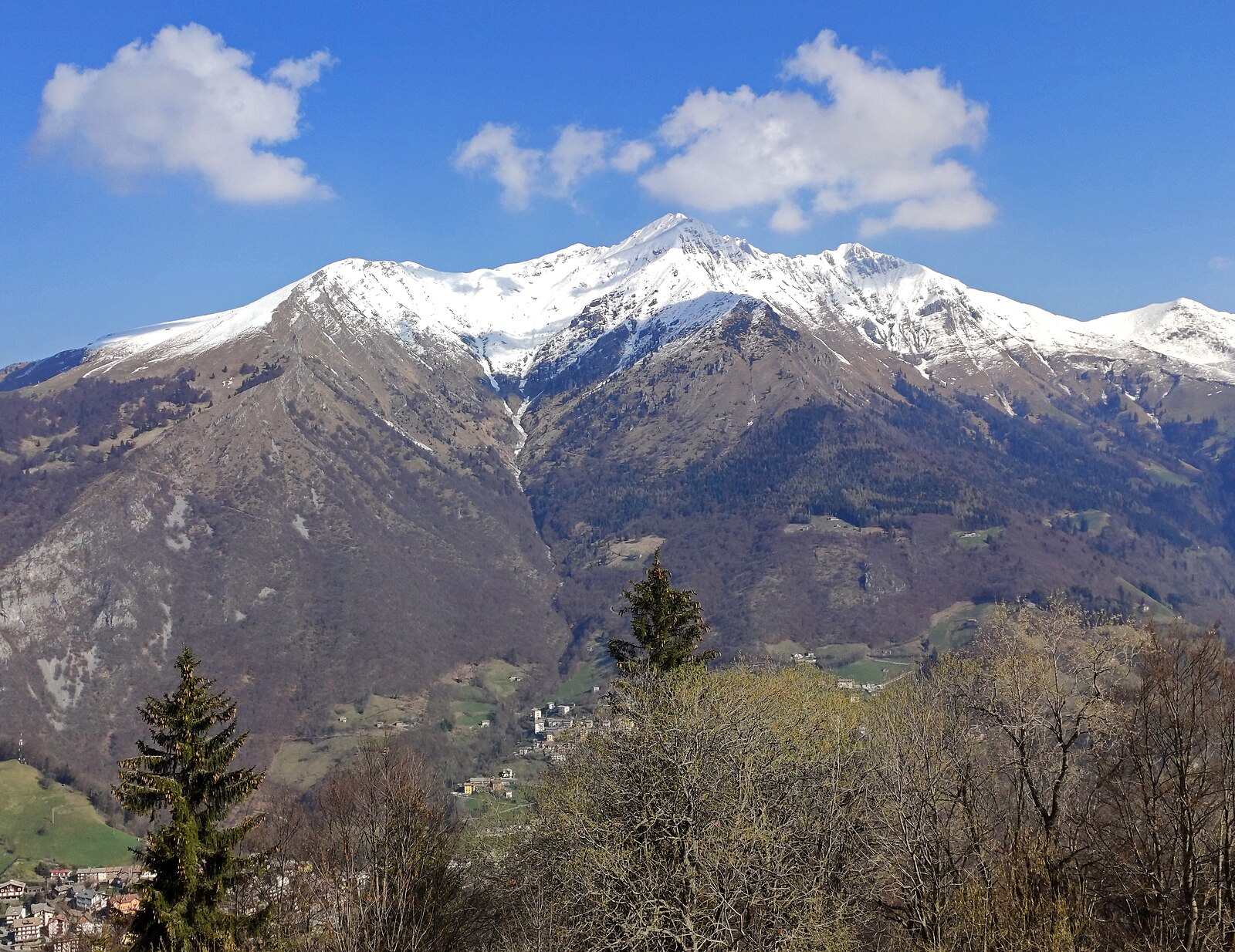
Webcam na żywo
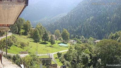
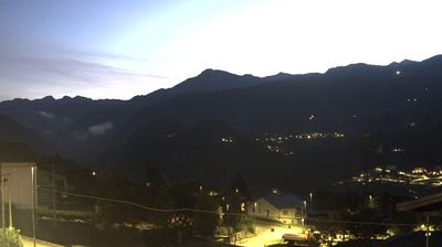
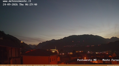
Raport śniegowy
- Ostatnie 24h: 0 cm
- Ostatnie 72h: 0 cm
- Ostatnie 7 dni: 0 cm
- Ostatnie 7 dni: Dolina 0cm · Środek stoku 0cm · Szczyt 0cm
- Suma sezonowa: 0 cm
Ośrodki narciarskie otwarte teraz · Raport śniegowy
About Conca dell'Alben
A rugged Bergamasque escape where limestone crags and wild trails offer a raw, unpolished alternative to the manicured Italian resorts.
Highlights
- Limestone rock climbing
- Wild hiking trails
- Traditional mountain refuges
- Untouched natural scenery
Key Facts
- Altitude: 1282m
- Top lift: 1420m
- Ski pistes: 1km
- Ski lifts: 1
- Population: 306
- Lakes nearby: 9
- MTB trails: 188.7km
- Mountain huts: 29
Ski Area
Weather and 10-day forecast for Conca dell'Alben
- Today: 8 to 17 °C, overcast, 3 h of sunshine
- Freezing level today: about 3780 m (3480 to 4000 m)
| Day | Min / max | Sky | Precipitation | Sunshine |
|---|---|---|---|---|
| czw., 24 wrz | 8 / 17 °C | overcast | dry | 3 h sun |
| pt., 25 wrz | 6 / 13 °C | overcast | dry | 2 h sun |
| sob., 26 wrz | 8 / 15 °C | mainly clear | dry | 9 h sun |
| niedz., 27 wrz | 10 / 18 °C | clear sky | dry | 11 h sun |
| pon., 28 wrz | 11 / 18 °C | mainly clear | dry | 8 h sun |
| wt., 29 wrz | 12 / 17 °C | mainly clear | dry | 6 h sun |
| śr., 30 wrz | 10 / 17 °C | mainly clear | dry | 6 h sun |
| czw., 1 paź | 9 / 16 °C | overcast | dry | 10 h sun |
| pt., 2 paź | 7 / 13 °C | drizzle | 2 mm rain | 9 h sun |
| sob., 3 paź | 7 / 14 °C | drizzle | 1 mm rain | 11 h sun |
Things to do in Conca dell'Alben
Hikes nearby — Conca dell'Alben (18)
18 curated hiking trails around Conca dell'Alben, sourced from OpenStreetMap and enriched with distance, elevation gain and difficulty.
-
Sentiero delle Creste
-
Sentiero dei Laghi Basso - Tappa 7
-
Sentiero dei Laghi Basso - Tappa 6
-
Sentiero dei Laghi Basso - Tappa 8
-
Via Mercatorum - Variante Bassa
The route climbs through woodland to the plateau of Pià de la Loera, with open views toward the peaks of Arera and Alben, before the descent passes a grotto of the Madonna di Lourdes and returns to the centre of Selvino.
-
Via Mercatorum - Variante Alta
La via Mercatorum è un insieme di sentieri e mulattiere che attraversano alcune zone della bergamasca, percorse dai mercanti nel Medioevo. Collegava la città di Bergamo con la val Brembana e la val Seriana facendole incontrare, per un percorso di circa 40 km fino alla realizzazione della via Priula nel 1593, per iniziativa della Serenissima.
-
Anello Pista Conca dell’Alben
-
Anello Pista Cà di Zocc
-
Variante Mercatorum
-
Anello Serina
-
Alta Via delle Grazie - Tappa 4
-
Sentiero della Calamina
-
Sentiero Panoramico
-
Sentiero Blu
-
Sentiero Azzurro
-
Alta Via delle Grazie - Tappa 3
-
Alta Via delle Grazie
-
Sentiero 2
Mountain biking near Conca dell'Alben
- SICAI Ciclo
- Sentiero dei Laghi - Tappa 4
- Dei tre valloni
- Sentiero Panoramico
- Sentiero Val Gerona
Getting to Conca dell'Alben
Door-to-door travel times as used by the MR. ALPS ranking.
- Nearest airport: Il Caravaggio International Airport (BGY), 24 km away, about 1h by road
- Milano: 1h31 by car, 86 km
- Brescia: 1h31 by car, 93 km
- Verona: 2h09 by car, 158 km
- Padova: 2h51 by car, 234 km
- Trento: 2h53 by car, 223 km
- Torino: 2h55 by car, 222 km
Where to stay in Conca dell'Alben
68 places to stay for a night on 2026-09-25, from 83 EUR per night, median 148 EUR. Prices are direct with hotels and destinations, compared live on the Conca dell'Alben page.