Celerina
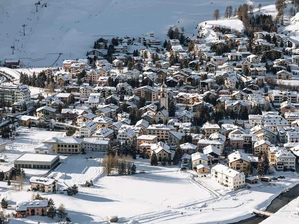
Webcam na żywo



Otwarte wyciągi: 0/23
Raport śniegowy
- Ostatnie 24h: 0 cm
- Ostatnie 72h: 0 cm
- Ostatnie 7 dni: 0 cm
- Ostatnie 7 dni: Dolina 0cm · Środek stoku 0cm · Szczyt 0cm
- Suma sezonowa: 22 cm
Ośrodki narciarskie otwarte teraz · Raport śniegowy
About Celerina
A traditional Swiss Alpine village with mountain character and quiet off-season charm, right next to world famous St. Moritz with villages sharing the stunning Engadin valley lakes and slopes connected in winter.
Highlights
- Mountain setting
- Alpine character
- Regional cuisine
- Hiking trails
- St. Moritz
Key Facts
- Altitude: 1720m
- Top lift: 3057m
- Ski pistes: 275km
- Ski lifts: 23
- Population: 1,415
- 4000m+ peaks nearby: 1
- Lakes nearby: 28
- MTB trails: 170.8km
- Mountain huts: 21
Ski Area
Karnety sezonowe obejmujące tę miejscowość
Weather and 10-day forecast for Celerina
- Today: 3 to 12 °C, clear sky, 12 h of sunshine
- Freezing level today: about 3763 m (3600 to 3920 m)
| Day | Min / max | Sky | Precipitation | Sunshine |
|---|---|---|---|---|
| śr., 23 wrz | 3 / 12 °C | clear sky | dry | 12 h sun |
| czw., 24 wrz | 3 / 10 °C | partly cloudy | dry | 5 h sun |
| pt., 25 wrz | 2 / 11 °C | clear sky | dry | 10 h sun |
| sob., 26 wrz | 5 / 15 °C | clear sky | dry | 12 h sun |
| niedz., 27 wrz | 5 / 17 °C | clear sky | dry | 12 h sun |
| pon., 28 wrz | 7 / 17 °C | clear sky | dry | 12 h sun |
| wt., 29 wrz | 7 / 17 °C | clear sky | dry | 11 h sun |
| śr., 30 wrz | 6 / 15 °C | clear sky | dry | 11 h sun |
| czw., 1 paź | 4 / 11 °C | drizzle | dry | 0 h sun |
| pt., 2 paź | 0 / 6 °C | snow showers | dry | 0 h sun |
Things to do in Celerina
Hikes nearby — Celerina (20)
20+ curated hiking trails around Celerina, sourced from OpenStreetMap and enriched with distance, elevation gain and difficulty.
-
Senda Segantini - Etappe 3
-
Senda Segantini - Etappe 4
From St. Moritz's train station, the route threads along Lake St. Moritz and through the protected Staz forest to a peat bog before climbing steeply past railing-guarded slopes toward Alp Languard, with the Bernina Massif, Piz Nair, and Corviglia spread out across the horizon. The trail culminates at Capanna Segantini, the historic high-altitude site associated with painter Giovanni Segantini.
-
Bernina Tour
The Bernina Tour circles Piz Bernina — the only four-thousand-metre peak in the eastern Alps and the highest in Graubünden at 4049 m — revealing glaciers, the turquoise-blue Lej da Diavolezza, the flowery Val Roseg, and the shores of Lago Bianco where the red trains of the Rhaetian Railway pass. From the Bernina Pass at 2328 m, the route descends through the culturally significant Engadine villages and the Upper Engadine lakes, while the southern start in Poschiavo brings a Mediterranean atmosphere against an alpine backdrop.
-
01-Alpenpässe-Weg
-
Via Albula/Bernina
-
St. Moritz-Dorf - St. Moritz-Bad
-
Seerundgang
-
Senda Muottas da Schlarigna
The route climbs steeply through an old forest of larch and Swiss stone pine to Muottas da Schlarigna at 2,305 m, where a panoramic view opens over Pontresina and the lakes of the Upper Engadin — including a striking close look at the complex of avalanche dams and catchment areas built above the town in 2003. Near the start, beside a bench at Alp Staz, stands a thousand-year-old Swiss stone pine.
-
Puntraschigna - Roseg
Z Pontresiny ścieżka biegnie wzdłuż Rosegbach w górę rzeki przez pradawny las, mijając korytarze lawinowe, gdzie wędrują kozice i omszałe strumienie płyną krystalicznie czyste, zanim dolina otwiera się, ukazując pokrytą śniegiem grupę Sella oraz lodowce Sella i Roseg. Bryczki zaprzężone w konie dzielą trasę, a podróż kończy się w Hotel Roseg Gletscher z jego panoramą lodowca.
-
Peidra Grossa - Cristolais
-
Flaz Uferweg
-
Lej da la Tscheppa
-
02-Alpenpässe-Weg
-
Bernina Tour
-
Bernina Tour
-
Via Albula/Bernina: Alp Spinas - St. Moritz Bahnhof
-
Via Engiadina: Marguns - Bever Station
-
Senda Segantini: St. Moritz Bahnhof - Muottas Muragl
-
Via Engiadina: Silvaplauna Ova dal Vallun - Marguns
-
Senda Val Champagna
Mountain biking near Celerina
- Padella-Corviglia-Panoramatour
- WM Trail
- Olympia Flow Trail
- San Murezzan Trail
- 2 Foppetas Trail
Getting to Celerina
Door-to-door travel times as used by the MR. ALPS ranking.
- Nearest airport: Milano Linate Airport (LIN), 123 km away, about 2h45 by road
- Innsbruck: 2h40 by car, 188 km
- Zürich: 2h44 by car, 206 km
- Bolzano - Bozen: 2h48 by car, 165 km
- Milano: 2h54 by car, 169 km
- Luzern: 3h03 by car, 228 km
- Brescia: 3h08 by car, 182 km
Where to stay in Celerina
200 places to stay for a night on 2026-09-25, from 199 EUR per night, median 662 EUR. Prices are direct with hotels and destinations, compared live on the Celerina page.