Blatten
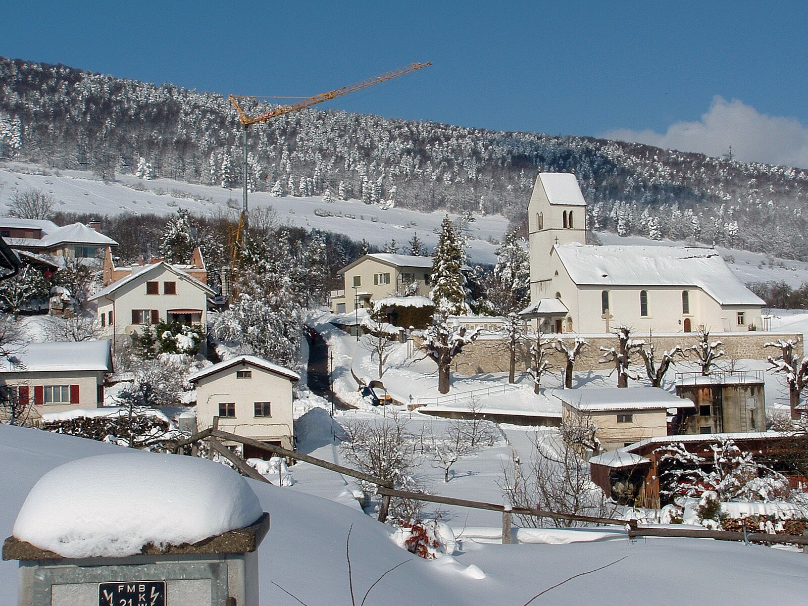
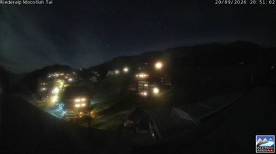
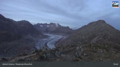
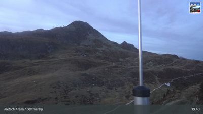
Webcam na żywo
Otwarte wyciągi: 0/10
Raport śniegowy
- Ostatnie 24h: 0 cm
- Ostatnie 72h: 0 cm
- Ostatnie 7 dni: 0 cm
- Ostatnie 7 dni: Dolina 0cm · Środek stoku 0cm · Szczyt 0cm
- Suma sezonowa: 8.9 cm
Ośrodki narciarskie otwarte teraz · Raport śniegowy
About Blatten
A secluded Valaisan hamlet where sun-blackened timber chalets evoke a lost era of high-altitude farming and quiet solitude.
Highlights
- Traditional sun-scorched timber
- Ancient granary architecture
- UNESCO wilderness access
- Quiet mountain seclusion
Key Facts
- Altitude: 1322m
- Top lift: 3118m
- Ski pistes: 38km
- Ski lifts: 13
- Population: 303
- 4000m+ peaks nearby: 3
- Lakes nearby: 11
- MTB trails: 164.1km
- Mountain huts: 9
Ski Area
Karnety sezonowe obejmujące tę miejscowość
Weather and 10-day forecast for Blatten
- Today: 6 to 14 °C, clear sky, 12 h of sunshine
- Freezing level today: about 4056 m (3930 to 4240 m)
| Day | Min / max | Sky | Precipitation | Sunshine |
|---|---|---|---|---|
| śr., 23 wrz | 6 / 14 °C | clear sky | dry | 12 h sun |
| czw., 24 wrz | 4 / 16 °C | clear sky | dry | 9 h sun |
| pt., 25 wrz | 6 / 17 °C | partly cloudy | dry | 4 h sun |
| sob., 26 wrz | 8 / 18 °C | clear sky | dry | 9 h sun |
| niedz., 27 wrz | 8 / 19 °C | clear sky | dry | 12 h sun |
| pon., 28 wrz | 8 / 17 °C | clear sky | dry | 11 h sun |
| wt., 29 wrz | 8 / 17 °C | clear sky | dry | 12 h sun |
| śr., 30 wrz | 3 / 16 °C | overcast | dry | 11 h sun |
| czw., 1 paź | 2 / 16 °C | overcast | dry | 10 h sun |
| pt., 2 paź | 2 / 16 °C | drizzle | 0 mm rain | 11 h sun |
Things to do in Blatten
Hikes nearby — Blatten (20)
20+ curated hiking trails around Blatten, sourced from OpenStreetMap and enriched with distance, elevation gain and difficulty.
-
Aletsch Panoramaweg
A high-altitude ridge walk above the Great Aletsch Glacier — the largest glacier in the Alps, stretching 23 kilometres — the Panoramaweg runs from Bettmerhorn down to Fiescheralp, keeping the glacier's massive ice surface and surrounding 4,000-metre peaks in constant view.
-
Belalp - Aletschbord
-
Egga - Belalp
-
Blatten - Belalp
The trail descends from the Belalp through alpine meadows and old forests down to Blatten bei Naters, opening up views over the Valais mountain landscape along the way.
-
Egga - Aletschbord
-
Holzji - Oberaletsch
-
Birgisch - Belalp
-
Klettersteig Aletsch
Climbers traverse the western shore of the Gibidum reservoir along iron rungs, log bridges, and natural footholds — and when the lake is full, the route skirts just above the icy glacial water. The highlight is an 80 m long, 40 m high Nepal suspension bridge, from which you can spot the scour marks left by the mighty Aletsch Glacier etched into the surrounding rock.
-
Aletschbord - Sparrhorn
-
Belalp - Foggenhorn - Nessel
-
Riederfurka Knebelbrückenweg
-
Bitsch - Gibidum
-
Ried-Mörel - Rieder Furka
-
Blatten - Geimen
-
Riederhorn
-
Rieder Furka - Grünsee
-
Massaweg
The trail descends through the wild Massa Gorge — a canyon carved first by the Great Aletsch Glacier and then by its meltwater — following the historic Riederi irrigation channel, first documented in 1385, which once carried glacial meltwater to the fields near Ried-Mörel. From the open meadows beyond the gorge, the path opens onto views across the Rhone Valley.
-
Aletsch Panoramaweg: Belalp - _
-
Walliser Steppen- und Föhrenweg
-
Aletschgletscher Aussichtsweg
Mountain biking near Blatten
- Ried alps round trip
- Ober Schitter
- Moränenweg
- Gratweg
Getting to Blatten
Door-to-door travel times as used by the MR. ALPS ranking.
- Nearest airport: Milan Malpensa International Airport (MXP), 101 km away, about 2h39 by road
- Bern: 2h44 by train, 115 km
- Lausanne: 2h48 by car, 167 km
- Biel/Bienne: 3h01 by train, 149 km
- Luzern: 3h20 by car, 164 km
- Zürich: 3h25 by train, 232 km
- Genève: 3h27 by car, 229 km
Where to stay in Blatten
200 places to stay for a night on 2026-09-25, from 167 EUR per night, median 233 EUR. Prices are direct with hotels and destinations, compared live on the Blatten page.