Arolla
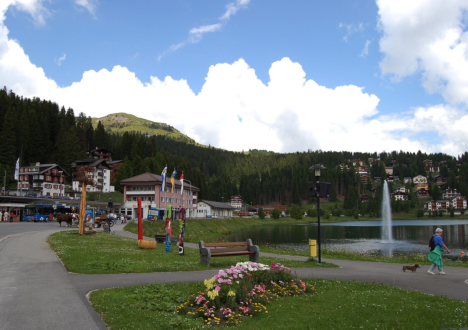
Webcam na żywo

Otwarte wyciągi: 0/28
Raport śniegowy
- Ostatnie 24h: 0 cm
- Ostatnie 72h: 0 cm
- Ostatnie 7 dni: 0 cm
- Ostatnie 7 dni: Dolina 0cm · Środek stoku 0cm · Szczyt 0cm
- Suma sezonowa: 11.4 cm
Ośrodki narciarskie otwarte teraz · Raport śniegowy
About Arolla
A high-altitude sanctuary for mountaineers and ski tourers seeking raw silence and jagged granite peaks far from the crowds.
Highlights
- High-alpine touring
- Untamed glacial scenery
- Mountaineering heritage
- Off-grid atmosphere
Key Facts
- Altitude: 1984m
- Top lift: 2877m
- Ski pistes: 104km
- Ski lifts: 13
- Population: 54
- 4000m+ peaks nearby: 8
- Lakes nearby: 16
- MTB trails: 13.4km
- Mountain huts: 27
Ski Area
Karnety sezonowe obejmujące tę miejscowość
Weather and 10-day forecast for Arolla
- Today: 6 to 15 °C, clear sky, 8 h of sunshine
- Freezing level today: about 3852 m (3670 to 4130 m)
| Day | Min / max | Sky | Precipitation | Sunshine |
|---|---|---|---|---|
| czw., 24 wrz | 6 / 15 °C | clear sky | dry | 8 h sun |
| pt., 25 wrz | 6 / 16 °C | clear sky | dry | 10 h sun |
| sob., 26 wrz | 9 / 16 °C | clear sky | dry | 12 h sun |
| niedz., 27 wrz | 10 / 17 °C | clear sky | dry | 12 h sun |
| pon., 28 wrz | 11 / 18 °C | clear sky | dry | 12 h sun |
| wt., 29 wrz | 11 / 20 °C | clear sky | dry | 12 h sun |
| śr., 30 wrz | 11 / 19 °C | partly cloudy | dry | 8 h sun |
| czw., 1 paź | 7 / 19 °C | drizzle | 1 mm rain | 11 h sun |
| pt., 2 paź | 5 / 11 °C | rain showers | 20 mm rain | 11 h sun |
| sob., 3 paź | 2 / 9 °C | overcast | dry | 11 h sun |
Things to do in Arolla
Hikes nearby — Arolla (19)
19 curated hiking trails around Arolla, sourced from OpenStreetMap and enriched with distance, elevation gain and difficulty.
-
27-Chemin des cols alpins
-
26-Chemin des cols alpins
-
02-Tour pédestre du Val d'Hérens
From the crest of the Grande Dixence — the world's highest gravity dam — the route traces the western shore of Switzerland's longest reservoir, where snow-covered peaks and glaciers crowd the skyline. A steep climb then delivers you to the Col de Riedmatten, the legendary pass of the Patrouille des Glaciers ski mountaineering race, before a long descent into Arolla.
-
03-Tour pédestre du Val d'Hérens
-
Villa - Cotter
-
Cotter - Volvovron
-
28-Chemin des cols alpins
-
30-Chemin des cols alpins
-
Tour des Combins - stage 5 - MAUVOISIN – CABANE CHANRION - MAUVOISIN
-
Tour du Val de Bagnes
-
Le sentier des bouquetins
-
Barrage de Mauvoisin - Le Pleureur
-
Bonatchiesse-Mauvoisin
-
Alpenpässe-Weg: Arolla - Les Dix
-
Alpenpässe-Weg: Evolène - Arolla
-
Alpenpässe-Weg: Les Dix - Prafleuri
-
Chemin des villages d’Evolène
-
Tour du Lac de Moiry
-
Alpenpässe-Weg: Cabane de Louvie - Mauvoisin
Mountain biking near Arolla
- Route de la Meina
- Chemin d'Allèves
- Route de Chemeuille
- Chemin des Arpilles
Getting to Arolla
Door-to-door travel times as used by the MR. ALPS ranking.
- Nearest airport: Geneva International Airport (GVA), 109 km away, about 2h34 by road
- Lausanne: 1h54 by car, 135 km
- Bern: 2h30 by car, 192 km
- Genève: 2h33 by car, 197 km
- Biel/Bienne: 2h58 by car, 231 km
- Annecy: 3h04 by car, 203 km
- Chambéry: 3h29 by car, 247 km
Where to stay in Arolla
22 places to stay for a night on 2026-09-25, from 201 EUR per night, median 250 EUR. Prices are direct with hotels and destinations, compared live on the Arolla page.