Am Ried – Farchant
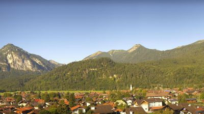
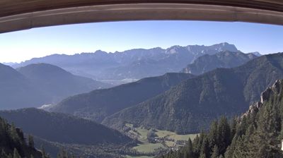
Webcam na żywo
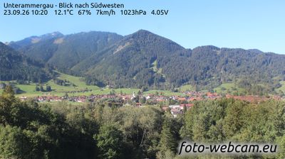
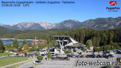
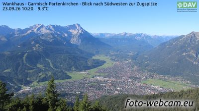
Otwarte wyciągi: 0%
Raport śniegowy
- Ostatnie 24h: 0 cm
- Ostatnie 72h: 0 cm
- Ostatnie 7 dni: 0 cm
- Ostatnie 7 dni: Dolina 0cm · Środek stoku 0cm · Szczyt 0cm
- Suma sezonowa: 0 cm
Ośrodki narciarskie otwarte teraz · Raport śniegowy
About Am Ried – Farchant
A quiet Bavarian retreat where traditional farmhouses meet the Zugspitze shadow, offering a slower pace than neighboring Garmisch.
Highlights
- Authentic Bavarian charm
- Panoramic valley trails
- Family-run guesthouses
- Proximity to Zugspitze
Key Facts
- Altitude: 675m
- Top lift: 772m
- Ski pistes: 1km
- Ski lifts: 1
- Population: 3,571
- Lakes nearby: 20
- MTB trails: 88.5km
- Mountain huts: 16
Ski Area
Weather and 10-day forecast for Am Ried – Farchant
- Today: 4 to 16 °C, clear sky, 11 h of sunshine
- Freezing level today: about 3535 m (2440 to 4050 m)
| Day | Min / max | Sky | Precipitation | Sunshine |
|---|---|---|---|---|
| pt., 25 wrz | 4 / 16 °C | clear sky | dry | 11 h sun |
| sob., 26 wrz | 7 / 21 °C | clear sky | dry | 11 h sun |
| niedz., 27 wrz | 11 / 24 °C | clear sky | dry | 12 h sun |
| pon., 28 wrz | 12 / 25 °C | clear sky | dry | 11 h sun |
| wt., 29 wrz | 12 / 25 °C | clear sky | dry | 11 h sun |
| śr., 30 wrz | 12 / 20 °C | overcast | dry | 3 h sun |
| czw., 1 paź | 12 / 23 °C | clear sky | dry | 11 h sun |
| pt., 2 paź | 11 / 19 °C | drizzle | dry | 7 h sun |
| sob., 3 paź | 9 / 18 °C | drizzle | dry | 11 h sun |
| niedz., 4 paź | 9 / 20 °C | drizzle | dry | 4 h sun |
Things to do in Am Ried – Farchant
Hikes nearby — Am Ried – Farchant (16)
16 curated hiking trails around Am Ried – Farchant, sourced from OpenStreetMap and enriched with distance, elevation gain and difficulty.
-
Via Alpina Purple A59
Weilheimer Hütte - Garmisch-Partenkirchen
-
Via Alpina Purple A60
Garmisch-Partenkirchen - Linderhof
-
Wegenetz der Gemeinde Farchant
-
Philosophenweg
-
Wegenetz der Gemeinde Garmisch-Partenkirchen
-
Kramersteig
-
Kramerplateauweg
The Kramerplateauweg traces a path above the rooftops of Garmisch-Partenkirchen, leading hikers to the ruins of Werdenfels castle. In winter, snow-laden treetops and the stillness of the Bavarian Alpine landscape define the route.
-
Via Alpina Purple A58
Herzogstand - Weilheimer Hütte
-
BT 10 Ettaler Mandl
-
Wanderweg 455 (blau)
-
Wanderweg 453
-
Königssteig
-
Wanderweg 450 (blau)
-
Natur-Erlebnis-Pfad Eschenlohe
-
Wanderweg 451 (blau)
-
AV Weg 820 (grün)
Mountain biking near Am Ried – Farchant
- Mitterkopfrunde
- 264
- Kramersteig
- 412
- Hüttlsteig
- Um die Notkar- & Kramerspitze
Getting to Am Ried – Farchant
Door-to-door travel times as used by the MR. ALPS ranking.
- Nearest airport: Innsbruck Airport (INN), 34 km away, about 55 min by road
- München: 1h by car, 85 km
- Innsbruck: 1h04 by car, 63 km
- Bolzano - Bozen: 2h27 by car, 175 km
- Nürnberg: 2h45 by car, 262 km
- Trento: 2h58 by car, 231 km
- Stuttgart: 3h11 by car, 300 km
Where to stay in Am Ried – Farchant
200 places to stay for a night on 2026-10-02, from 139 EUR per night, median 261 EUR. Prices are direct with hotels and destinations, compared live on the Am Ried – Farchant page.