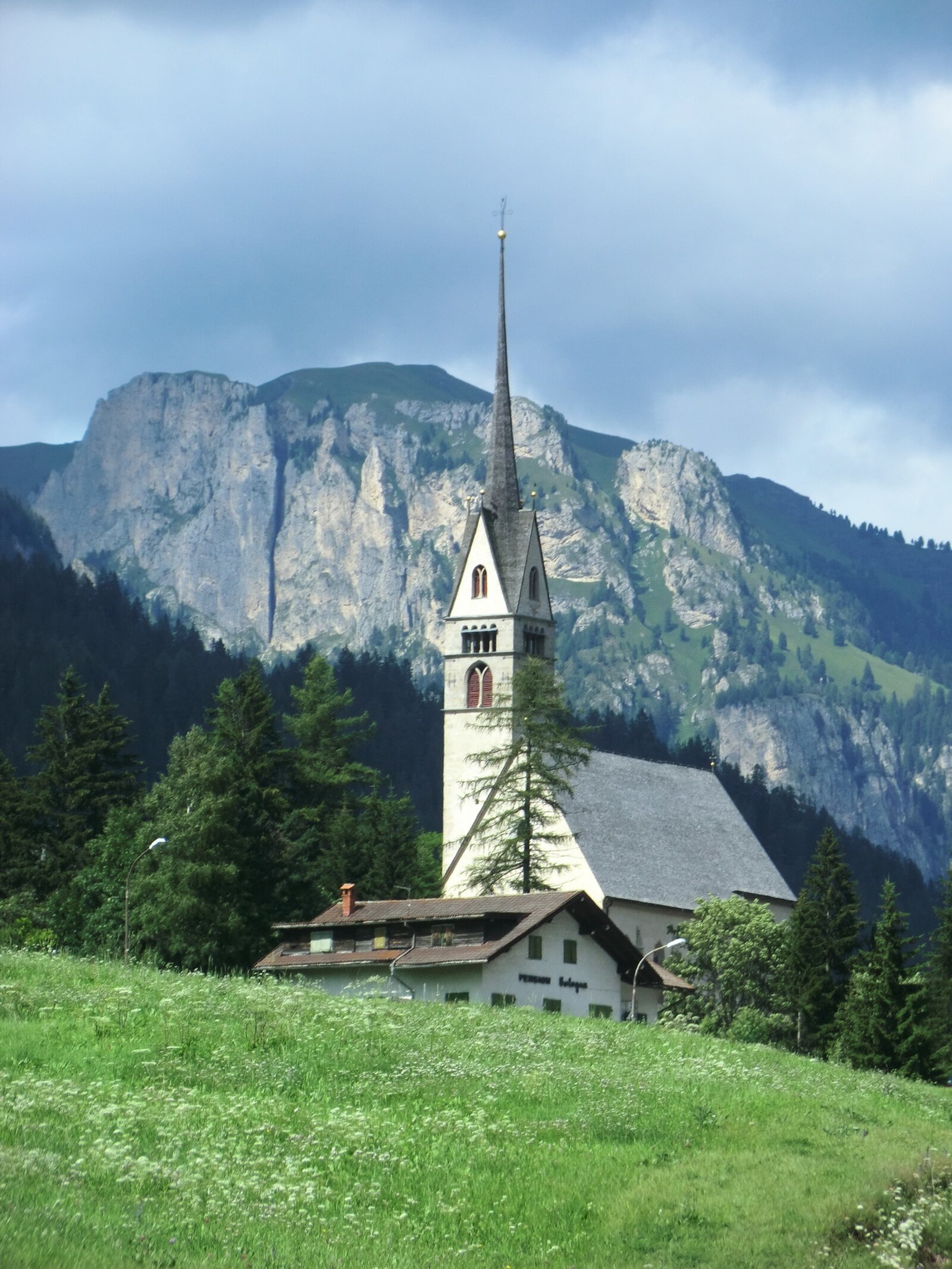
Vigo di Fassa
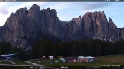
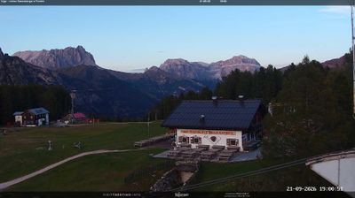
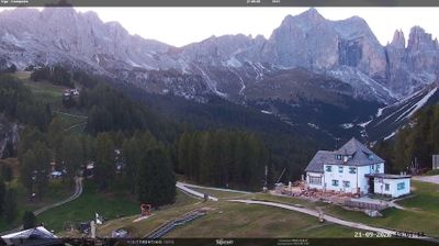
Live webcam
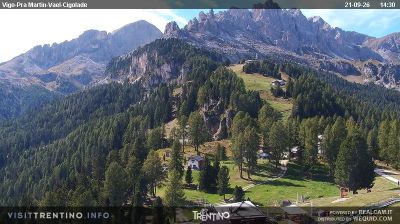
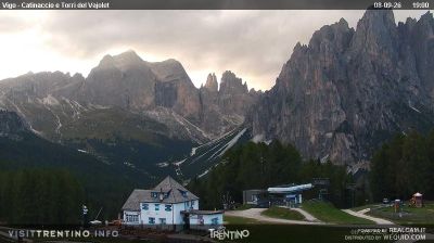

Open liften: 0/6
Sneeuwbericht
- Laatste 24 uur: 0 cm
- Laatste 72 uur: 0 cm
- Laatste 7 dagen: 0 cm
- Laatste 7 dagen: Dal 0cm · Middenstation 0cm · Top 0cm
- Seizoenstotaal: 0 cm
Skigebieden nu open · Sneeuwbericht
About Vigo di Fassa
A Ladin cultural hub where pink-hued Dolomite peaks meet sun-drenched terraces and deep-rooted mountain traditions.
Highlights
- Ladin heritage
- Panoramic terrace views
- Rosengarten sunsets
- Family-oriented slopes
Key Facts
- Altitude: 1322m
- Top lift: 2095m
- Ski pistes: 13km
- Ski lifts: 6
- Population: 1,142
- Lakes nearby: 12
- MTB trails: 139.7km
- Mountain huts: 67
Ski Area
Weather and 10-day forecast for Vigo di Fassa
- Today: 8 to 19 °C, partly cloudy, 8 h of sunshine
- Freezing level today: about 4135 m (3840 to 4310 m)
| Day | Min / max | Sky | Precipitation | Sunshine |
|---|---|---|---|---|
| zo 20 sep | 8 / 19 °C | partly cloudy | dry | 8 h sun |
| ma 21 sep | 7 / 17 °C | overcast | dry | 2 h sun |
| di 22 sep | 2 / 15 °C | clear sky | dry | 12 h sun |
| wo 23 sep | 1 / 13 °C | partly cloudy | dry | 7 h sun |
| do 24 sep | 2 / 16 °C | clear sky | dry | 12 h sun |
| vr 25 sep | 2 / 16 °C | overcast | dry | 1 h sun |
| za 26 sep | 8 / 18 °C | clear sky | dry | 10 h sun |
| zo 27 sep | 8 / 16 °C | partly cloudy | dry | 4 h sun |
| ma 28 sep | 8 / 19 °C | clear sky | dry | 11 h sun |
| di 29 sep | 9 / 20 °C | partly cloudy | dry | 6 h sun |
Things to do in Vigo di Fassa
Hikes nearby — Vigo di Fassa (18)
18 curated hiking trails around Vigo di Fassa, sourced from OpenStreetMap and enriched with distance, elevation gain and difficulty.
-
Via Alpina Yellow B25
Rifugio Antermoia - Schlernhaus / Rifugio Bolzano
-
Dolomites World Heritage Geotrail 9
-
Vial de la Feide
-
Alta via dei Fassani
The Alta Via dei Fassani serves as the return route through the Malga Vael alpine pasture back toward the Vigo di Fassa cable car, offering views across the Rosengarten massif on a quieter, less-crowded path through the Dolomites.
-
Via ferrata delle Scalette
The Sentiero Attrezzato delle Scalette is the fastest route from Rifugio Gardeccia (1949 m) into the wild, remote valleys of the Larsec and Laussa, deep in the Dolomitic massif of the Catinaccio. The upper valleys are open and exposed, capable of turning hostile if weather suddenly closes in — making this an ideal first taste of equipped trails for those with no particular technical skills.
-
N01
-
Sentiero del Masarè - Hirzelsteig
De Sentiero del Masarè | Hirzelsteig loopt tussen de Paolina Refuge en het omliggende Dolomieten-terrein en biedt spectaculaire landschappen langs de route.
-
Sagenweg
The Sagenweg follows signposts toward Gardeccia from Pian Pecei, tracing the legend of King Laurin and the Dolomites. It is a panoramic path that opens onto views of the Rosengarten (Catinaccio) group and its towers.
-
Via Alpina Yellow B26
Schlernhaus / Rifugio Bolzano - Bozen / Bolzano
-
Dolomites World Heritage Geotrail 10
-
Dolomites World Heritage Geotrail 8
-
Mittlerer Rundweg am Karer See
-
Langer Rundweg am Karer See
-
Nigertalweg
-
Sagenweg
-
Sentiero Camosci
-
Col Pelous
-
1 - Kardaun => Nigerpass => Kölner Hütte
Getting to Vigo di Fassa
Door-to-door travel times as used by the MR. ALPS ranking.
- Nearest airport: Innsbruck Airport (INN), 95 km away, about 2h33 by road
- Bolzano - Bozen: 48 min by car, 38 km
- Trento: 1h24 by car, 97 km
- Innsbruck: 2h15 by car, 153 km
- Verona: 2h22 by car, 192 km
- Brescia: 2h52 by car, 228 km
- Padova: 2h56 by car, 166 km
Where to stay in Vigo di Fassa
200 places to stay for a night on 2026-09-25, from 131 EUR per night, median 317 EUR. Prices are direct with hotels and destinations, compared live on the Vigo di Fassa page.