Vigiljoch (Monte San Vigilio) – Lana
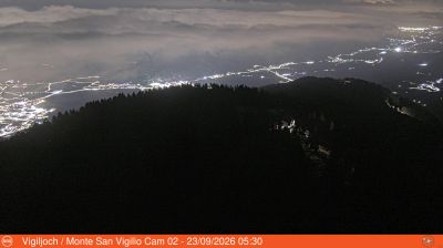
Live webcam



Open liften: 0/2
Sneeuwbericht
- Laatste 24 uur: 0 cm
- Laatste 72 uur: 0 cm
- Laatste 7 dagen: 0 cm
- Laatste 7 dagen: Dal 0cm · Middenstation 0cm · Top 0cm
- Seizoenstotaal: 0 cm
Skigebieden nu open · Sneeuwbericht
About Vigiljoch (Monte San Vigilio) – Lana
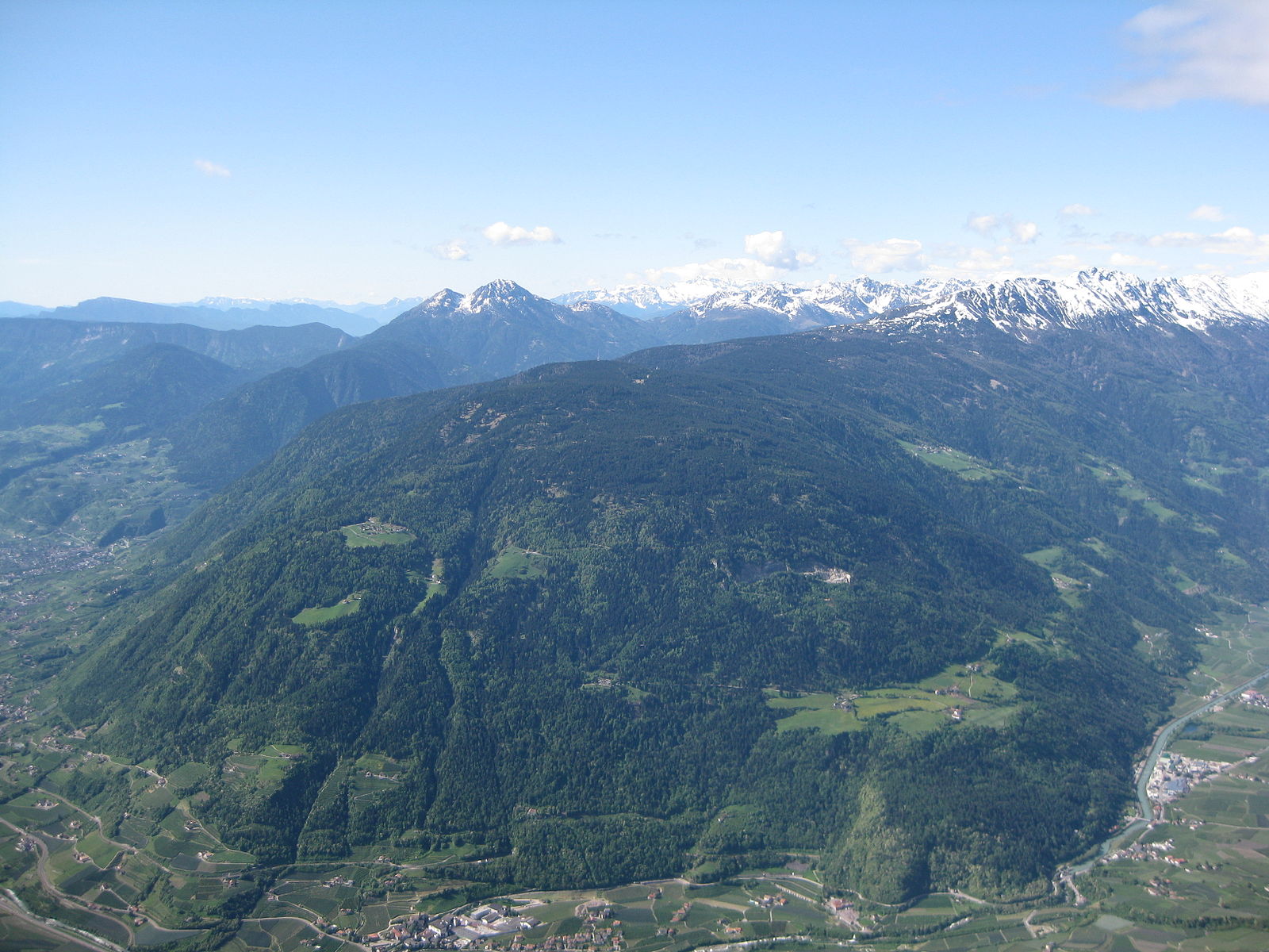
A car-free sanctuary of silence where modernist architecture meets larch forests, accessible only by a nostalgic cable car ride.
Highlights
- Car-free tranquility
- Modernist mountain design
- Larch forest trails
- Slow-living philosophy
Key Facts
- Altitude: 1486m
- Top lift: 1814m
- Ski pistes: 3km
- Ski lifts: 4
- Lakes nearby: 15
- MTB trails: 15.3km
- Mountain huts: 12
Ski Area
Weather and 10-day forecast for Vigiljoch (Monte San Vigilio) – Lana
- Today: 7 to 13 °C, clear sky, 12 h of sunshine
- Freezing level today: about 3175 m (2990 to 3330 m)
| Day | Min / max | Sky | Precipitation | Sunshine |
|---|---|---|---|---|
| di 22 sep | 7 / 13 °C | clear sky | dry | 12 h sun |
| wo 23 sep | 4 / 13 °C | clear sky | dry | 12 h sun |
| do 24 sep | 6 / 14 °C | partly cloudy | dry | 6 h sun |
| vr 25 sep | 3 / 13 °C | clear sky | dry | 12 h sun |
| za 26 sep | 5 / 14 °C | clear sky | dry | 10 h sun |
| zo 27 sep | 7 / 16 °C | partly cloudy | dry | 8 h sun |
| ma 28 sep | 10 / 16 °C | clear sky | dry | 9 h sun |
| di 29 sep | 10 / 16 °C | clear sky | dry | 11 h sun |
| wo 30 sep | 8 / 18 °C | overcast | dry | 3 h sun |
| do 1 okt | 9 / 16 °C | drizzle | dry | 1 h sun |
Things to do in Vigiljoch (Monte San Vigilio) – Lana
Hikes nearby — Vigiljoch (Monte San Vigilio) – Lana (18)
18 curated hiking trails around Vigiljoch (Monte San Vigilio) – Lana, sourced from OpenStreetMap and enriched with distance, elevation gain and difficulty.
-
Jakobsweg Andrian => Lana - Cammino di San Giacomo Andriano => Lana
Andrian > Sirmian > Grissian > Prissian > Tisens > Lana - Andriano > Sirmiano > Gissiano > Prissiano > Tesimo > Lana
-
Glaubensweg
Rundweg auf dem Vigiljoch
-
Panoramaweg
-
34
Trail 34 winds through larches, bushes, and hedges to reach the little church of St. Vigilius, built as early as the 11th century, with panoramic views stretching across the Valle dell'Adige to the Dolomites and spacious meadows ideal for a picnic.
-
Eggersteig
Bergstation Seilbahn Vigiljoch - Almboden
-
13
-
Walderlebnispfad Aschbach
This easy circular family hike begins at the mountain station of the Aschbach/Rio Lagundo cable car, following trail 27A toward the Eggerhöfe farms before branching onto the forest adventure trail itself.
-
Marlinger Waalweg
The Marlinger Waalweg is the longest Waalweg path in South Tyrol, tracing a 12-kilometre route that begins near the hydropower dam of Tel (Parcines) and passes through orchards and vineyards with views over the Merano valley basin.
-
25
-
Marlinger Höhenweg
The Marlinger Höhenweg threads from farm to farm through a striking variety of terrain — woods, meadows, orchards, alpine pastures, and stands of majestic chestnut trees — while offering excellent views of Merano and the surrounding mountains.
-
Alpenrosenweg
-
30A
-
Jakobsweg Marling - Cammino di San Giacomo Marlengo
-
16
Naturns - Aschbach
-
Hilbertal
-
Rittersteig
-
Meraner Höhenweg - Alta Via di Merano
Der Meraner Höhenweg ist ein Bergwanderweg in Südtirol, gekennzeichnet mit der Nr. 24. Er umrundet das Bergmassiv der Texelgruppe – Teil des Naturparks Texelgruppe – an deren Hängen und bietet dabei Ausblicke auf den Talkessel der Stadt Meran, das Etschtal und den Vinschgau, das Passeier- und das Schnalstal. Der Rundweg besteht aus einem nördlichen Teil, der vom Schnalstal nach Passeier führt, und
-
1
Mountain biking near Vigiljoch (Monte San Vigilio) – Lana
- Ötzi Trail
- Ötzi Flow Trail
- Stuanbruch-Trail
- Alpenrosenweg - 27A
- Patleideregger-Kirchweg
- Eggersteig - Sentiero Egger
- Almenweg
Getting to Vigiljoch (Monte San Vigilio) – Lana
Door-to-door travel times as used by the MR. ALPS ranking.
- Nearest airport: Bolzano Airport (BZO), 27 km away, about 1h50 by road
- Bolzano - Bozen: 1h50 by car, 45 km
- Trento: 2h19 by car, 95 km
- Verona: 3h16 by car, 190 km
- Innsbruck: 3h22 by car, 167 km
- Brescia: 3h47 by car, 226 km
- Padova: 4h01 by car, 270 km
Where to stay in Vigiljoch (Monte San Vigilio) – Lana
200 places to stay for a night on 2026-09-25, from 195 EUR per night, median 355 EUR. Prices are direct with hotels and destinations, compared live on the Vigiljoch (Monte San Vigilio) – Lana page.