Val Maron – Enego 2000
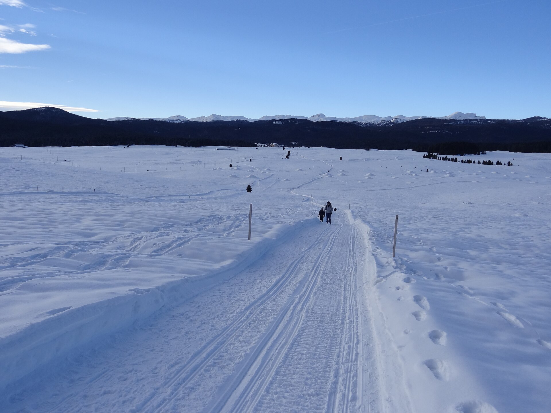
Live webcam
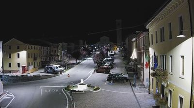
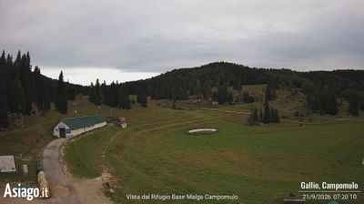
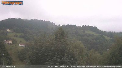
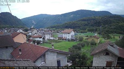
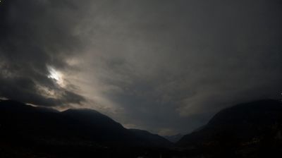
Open liften: 0%
Sneeuwbericht
- Laatste 24 uur: 0 cm
- Laatste 72 uur: 0 cm
- Laatste 7 dagen: 0 cm
- Laatste 7 dagen: Dal 0cm · Middenstation 0cm · Top 0cm
- Seizoenstotaal: 0 cm
Skigebieden nu open · Sneeuwbericht
About Val Maron – Enego 2000
A serene plateau escape where Nordic skiing heritage meets the quiet, unhurried pace of the Venetian Prealps.
Highlights
- Vast cross-country loops
- Gently rolling pastures
- Traditional mountain malghe
- Family-friendly atmosphere
Key Facts
- Altitude: 1355m
- Lakes nearby: 4
- MTB trails: 95.5km
- Mountain huts: 18
Ski Area
Weather and 10-day forecast for Val Maron – Enego 2000
- Today: 6 to 12 °C, partly cloudy, 6 h of sunshine
- Freezing level today: about 3541 m (2690 to 3810 m)
| Day | Min / max | Sky | Precipitation | Sunshine |
|---|---|---|---|---|
| wo 23 sep | 6 / 12 °C | partly cloudy | dry | 6 h sun |
| do 24 sep | 9 / 16 °C | overcast | dry | 2 h sun |
| vr 25 sep | 6 / 13 °C | partly cloudy | dry | 7 h sun |
| za 26 sep | 7 / 15 °C | partly cloudy | dry | 6 h sun |
| zo 27 sep | 9 / 17 °C | clear sky | dry | 9 h sun |
| ma 28 sep | 11 / 17 °C | clear sky | dry | 10 h sun |
| di 29 sep | 10 / 16 °C | partly cloudy | dry | 8 h sun |
| wo 30 sep | 9 / 15 °C | partly cloudy | dry | 6 h sun |
| do 1 okt | 10 / 13 °C | drizzle | dry | 0 h sun |
| vr 2 okt | 6 / 13 °C | drizzle | dry | 11 h sun |
Things to do in Val Maron – Enego 2000
Hikes nearby — Val Maron – Enego 2000 (8)
8 curated hiking trails around Val Maron – Enego 2000, sourced from OpenStreetMap and enriched with distance, elevation gain and difficulty.
-
Monte Fior
-
Cammino del beato Enrico - Tappa 6
-
Sentiero dei Cippi
The trail follows the ancient 1752 boundary markers (*cippi*) that once divided the Habsburg Empire from the Republic of Venice, tracing the ridge between Vicenza and Trento through mountain pastures and the Forcellona pass. At the far end, the anvil-shaped stone known as Anepoz drops sheer above the Valsugana valley, its face still bearing the cast medallions of Maria Theresa of Austria and the Lion of Saint Mark.
-
Foza - Meletta
-
Trodoi Trail 20
Sentiero della Gusella e di Col dei Prai Pareti a picco, formazioni rocciose fantastiche, antichi capitelli e un sito archeologico, sul Grappa più tipico.
-
Trodoi Trails 16
Creste dell'Asolone e Colli delle Battaglie
-
Aquila Vaia
-
Percorso Ronche
Mountain biking near Val Maron – Enego 2000
- Strada forestale Val d'Antenne
- Strada forestale Masi Ornè
- Strada forestale Grignerebbe
- Strada forestale Col delle Bagole
- Strada della Baia
- Strada forestale Dorea
Getting to Val Maron – Enego 2000
Door-to-door travel times as used by the MR. ALPS ranking.
- Nearest airport: Treviso Airport (TSF), 55 km away, about 1h55 by road
- Trento: 1h24 by car, 81 km
- Padova: 1h52 by car, 110 km
- Bolzano - Bozen: 2h by car, 136 km
- Verona: 2h10 by car, 136 km
- Brescia: 2h46 by car, 196 km
- Bologna: 3h03 by car, 222 km
Where to stay in Val Maron – Enego 2000
30 places to stay for a night on 2026-09-25, from 116 EUR per night, median 162 EUR. Prices are direct with hotels and destinations, compared live on the Val Maron – Enego 2000 page.