Temù
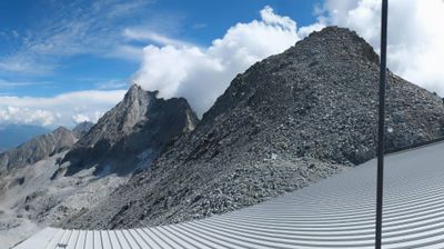
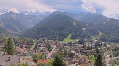
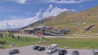
Live webcam
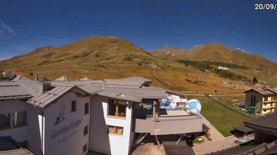
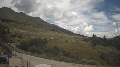
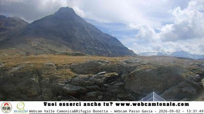
Open liften: 18%
Sneeuwbericht
- Laatste 24 uur: 0 cm
- Laatste 72 uur: 0 cm
- Laatste 7 dagen: 0 cm
- Laatste 7 dagen: Dal 0cm · Middenstation 0cm · Top 0cm
- Seizoenstotaal: 0.4 cm
Skigebieden nu open · Sneeuwbericht
About Temù
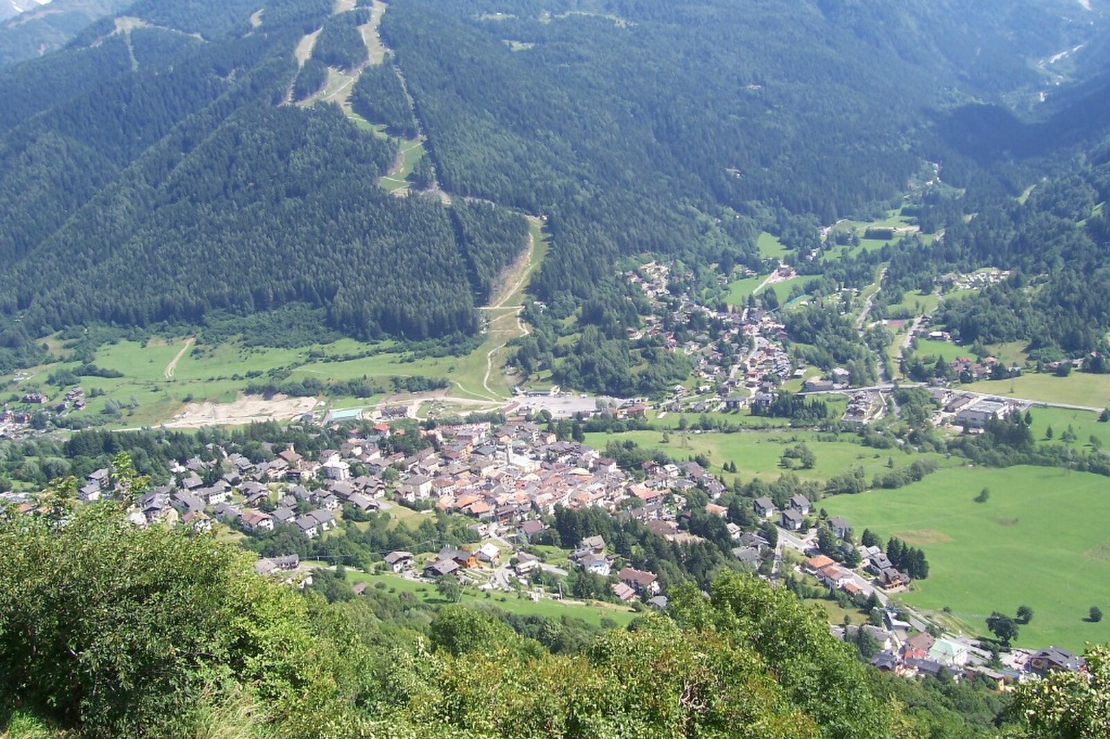
A quiet gateway to the Adamello peaks, offering an authentic Italian mountain pace away from the crowds of neighboring Pontedilegno.
Highlights
- Rustic stone architecture
- Family-run trattorias
- Pristine forest trails
- Understated local charm
Key Facts
- Altitude: 1155m
- Top lift: 2990m
- Ski pistes: 100km
- Ski lifts: 30
- Population: 1,132
- Lakes nearby: 31
- MTB trails: 307.2km
- Mountain huts: 27
Ski Area
Inbegrepen in deze seizoenpassen
Weather and 10-day forecast for Temù
- Today: 8 to 16 °C, clear sky, 9 h of sunshine
- Freezing level today: about 4177 m (4070 to 4300 m)
| Day | Min / max | Sky | Precipitation | Sunshine |
|---|---|---|---|---|
| zo 20 sep | 8 / 16 °C | clear sky | dry | 9 h sun |
| ma 21 sep | 9 / 15 °C | overcast | dry | 3 h sun |
| di 22 sep | 4 / 12 °C | clear sky | dry | 10 h sun |
| wo 23 sep | 3 / 10 °C | partly cloudy | dry | 8 h sun |
| do 24 sep | 4 / 13 °C | clear sky | dry | 9 h sun |
| vr 25 sep | 5 / 12 °C | clear sky | dry | 10 h sun |
| za 26 sep | 6 / 14 °C | clear sky | dry | 10 h sun |
| zo 27 sep | 8 / 17 °C | clear sky | dry | 11 h sun |
| ma 28 sep | 8 / 17 °C | clear sky | dry | 12 h sun |
| di 29 sep | 6 / 16 °C | clear sky | dry | 8 h sun |
Things to do in Temù
Hikes nearby — Temù (19)
19 curated hiking trails around Temù, sourced from OpenStreetMap and enriched with distance, elevation gain and difficulty.
-
Villa Dalegno - Val Canè - Premia - Borom - Val Grande - Val Bighera - Malga Salina
-
Alta Via Camuna
L'alta via camuna, conosciuta anche con il nome di sentiero n. 2, è un sentiero alpino a lunga percorrenza che si svolge tra Ponte di Legno e Vezza d'Oglio, passando per il Passo Gavia. L'itinerario sovrasta la parte settentrionale dell'alta Val Camonica in provincia di Brescia, all'interno del Parco nazionale dello Stelvio. Il percorso è segnalato dal segnavia del CAI, costituito da strisce bianc
-
Brüsì
-
Garòfui
-
Ponte di Legno (Pezzo) - Passo Gavia
-
Muràcc
-
Pè de corf
-
Villa Dalegno-Baita di Somalbosco-Laghetto di Monticelli-Bivacco Linge
-
Urtìghe
-
Ponte di Legno (Pezzo) - Sant'Apollonia
-
Collegamento sentiero Paradiso - Sentiero Castellaccio
The trail climbs through Val Sozzine past Malga Plas dell'Orto before splitting at a rocky moraine — right toward Passo Castellaccio, left to the 2,535 m summit of Il Castellaccio itself. A sign at the top warns of trail impassability, a detail absent from the trailhead below.
-
Gafiú
The route winds through the scattered farmsteads of Premia, following old mule tracks past a Santella, a wayside crucifix, and an iron-rich mineral spring near Canè.
-
Adamello Vertical kilometer
-
Sentiero dei Boschi
-
Scursài
-
Sentiero delle Aquile
-
Bassa Via Val Grande sinistra
-
Giro dei Laghi Seroti superiori
-
Biotopo Torbiera del Tonale
Mountain biking near Temù
- Aquila
- Leor
- Sghirlat
- Sentiero dei Saltatori
Getting to Temù
Door-to-door travel times as used by the MR. ALPS ranking.
- Nearest airport: Il Caravaggio International Airport (BGY), 90 km away, about 2h03 by road
- Trento: 1h41 by car, 100 km
- Brescia: 1h50 by car, 112 km
- Bolzano - Bozen: 1h54 by car, 111 km
- Verona: 2h30 by car, 178 km
- Milano: 2h36 by car, 183 km
- Padova: 3h12 by car, 254 km
Where to stay in Temù
200 places to stay for a night on 2026-09-25, from 107 EUR per night, median 174 EUR. Prices are direct with hotels and destinations, compared live on the Temù page.