St. Oswald (Kartitsch)
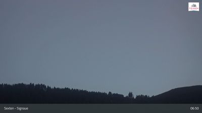
Live webcam


Open liften: 18%
Sneeuwbericht
- Laatste 24 uur: 0 cm
- Laatste 72 uur: 0 cm
- Laatste 7 dagen: 0 cm
- Laatste 7 dagen: Dal 0cm · Middenstation 0cm · Top 0cm
- Seizoenstotaal: 1.3 cm
Skigebieden nu open · Sneeuwbericht
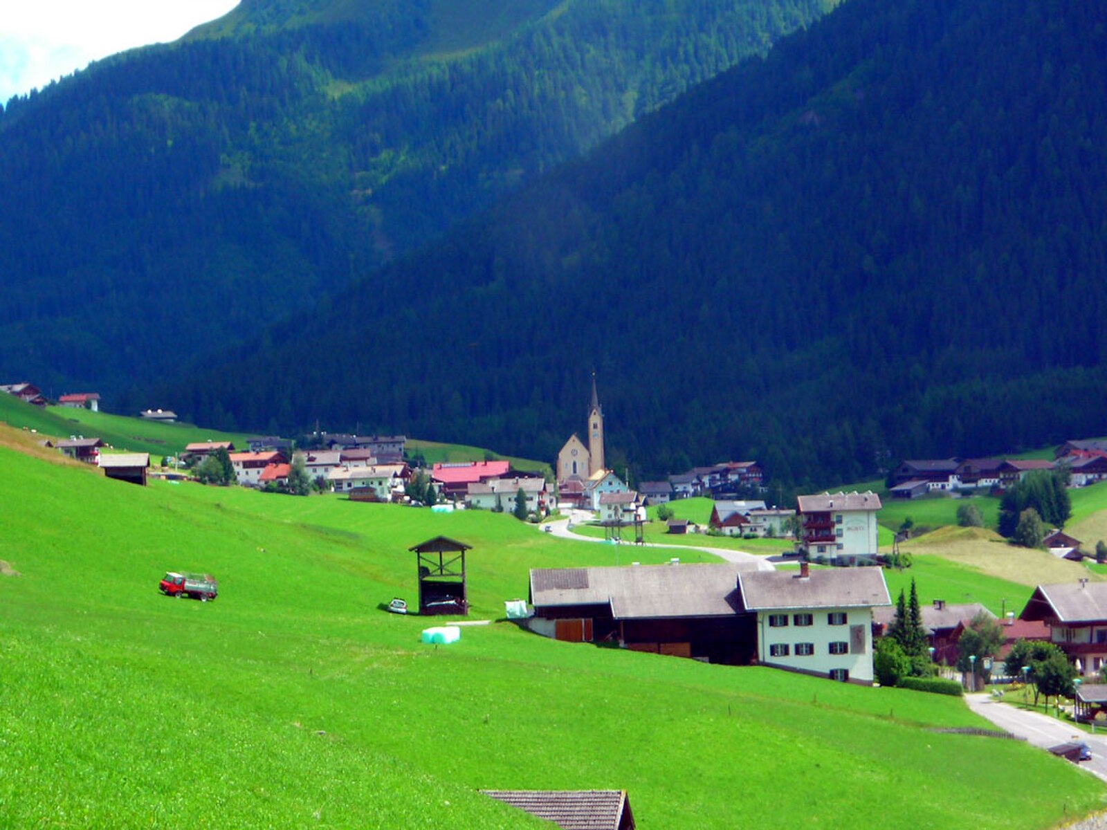
About St. Oswald (Kartitsch)
A secluded East Tyrolean sanctuary defined by rolling winter hiking trails and a quiet, deeply traditional Austrian soul.
Highlights
- Winter hiking trails
- Pristine mountain silence
- Traditional Tyrolean architecture
- Family-run guesthouses
Key Facts
- Altitude: 1269m
- Top lift: 1820m
- Ski pistes: 4km
- Ski lifts: 3
- Population: 803
- Lakes nearby: 13
- MTB trails: 145km
- Mountain huts: 21
Ski Area
Weather and 10-day forecast for St. Oswald (Kartitsch)
- Today: 4 to 16 °C, clear sky, 13 h of sunshine
- Freezing level today: about 3338 m (2800 to 3580 m)
| Day | Min / max | Sky | Precipitation | Sunshine |
|---|---|---|---|---|
| wo 23 sep | 4 / 16 °C | clear sky | dry | 13 h sun |
| do 24 sep | 5 / 16 °C | overcast | dry | 4 h sun |
| vr 25 sep | 2 / 14 °C | clear sky | dry | 12 h sun |
| za 26 sep | 4 / 17 °C | clear sky | dry | 12 h sun |
| zo 27 sep | 8 / 19 °C | clear sky | dry | 11 h sun |
| ma 28 sep | 9 / 19 °C | partly cloudy | dry | 8 h sun |
| di 29 sep | 8 / 17 °C | clear sky | dry | 9 h sun |
| wo 30 sep | 6 / 19 °C | drizzle | dry | 4 h sun |
| do 1 okt | 8 / 19 °C | overcast | dry | 2 h sun |
| vr 2 okt | 8 / 18 °C | drizzle | dry | 0 h sun |
Things to do in St. Oswald (Kartitsch)
Hikes nearby — St. Oswald (Kartitsch) (12)
12 curated hiking trails around St. Oswald (Kartitsch), sourced from OpenStreetMap and enriched with distance, elevation gain and difficulty.
-
15
The trail traverses the Helm/Monte Elmo at 2,050 m, following the Hüttensteig path (nr. 20) past the Helmhaus and Rif. Sillianer Hütte, where a 360° view spans the Italian-Austrian border and the landscape carries the layered history of smugglers who once crossed these ridges.
-
Heimatsteig
The Heimatsteig was built to commemorate the Andreas Hofer memorial year 1809–2009, and the route follows its eventful history through information boards along the way. On the South Tyrolean side, the trail's guiding concept is that "home is characterised by nature," with the path linking the Helm area via the Hahnspielhütte down toward Moos and Bad Moos.
-
Via Alpina Stage 26: Silianer Hütte - Drei-Zinnen-Hütte / Rifugio Locatelli
-
Dolomites World Heritage Geotrail 17
-
Via Alpina Red R24
Neue Porze Hütte - Obstansersee Hütte
-
Südalpenweg 03 - Etappe 24
Porzehütte - Obstanser See Hütte
-
Wanderweg 461 Porzehütte
Obertilliach- Neue Porzehütte
-
13
-
Wanderweg 47
-
Bergwiesenabenteuer Kindermeile
-
Besinnungsweg
-
Nik Trail
Mountain biking near St. Oswald (Kartitsch)
- Dorfbergrunde
- Fronstadlalmweg
- Tessenberger Alm
Getting to St. Oswald (Kartitsch)
Door-to-door travel times as used by the MR. ALPS ranking.
- Nearest airport: Innsbruck Airport (INN), 104 km away, about 2h21 by road
- Bolzano - Bozen: 1h55 by car, 123 km
- Innsbruck: 2h24 by car, 156 km
- Trento: 2h26 by car, 179 km
- Padova: 3h by car, 224 km
- Verona: 3h24 by car, 274 km
- München: 3h30 by car, 250 km
Where to stay in St. Oswald (Kartitsch)
117 places to stay for a night on 2026-09-25, from 115 EUR per night, median 218 EUR. Prices are direct with hotels and destinations, compared live on the St. Oswald (Kartitsch) page.