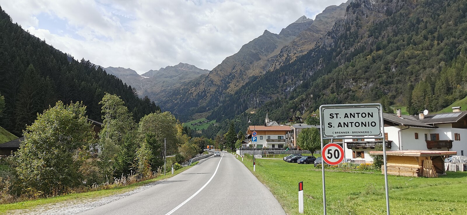
St. Anton in Pflersch – Innerpflersch
Live webcam


Sneeuwbericht
- Laatste 24 uur: 0 cm
- Laatste 72 uur: 0 cm
- Laatste 7 dagen: 0 cm
- Laatste 7 dagen: Dal 1.2cm · Middenstation 0cm · Top 1.2cm
- Seizoenstotaal: 1.8 cm
Skigebieden nu open · Sneeuwbericht
About St. Anton in Pflersch – Innerpflersch
A secluded South Tyrolean secret where rugged limestone peaks frame a quiet valley of deep powder and authentic Ladin soul.
Highlights
- Untouched backcountry lines
- Family-run mountain inns
- Dramatic Dolomites backdrop
- Low-key alpine solitude
Key Facts
- Altitude: 1241m
- Top lift: 1289m
- Ski pistes: 1km
- Ski lifts: 1
- Population: 650
- Lakes nearby: 19
- MTB trails: 145.3km
- Mountain huts: 32
Ski Area
Weather and 10-day forecast for St. Anton in Pflersch – Innerpflersch
- Today: 6 to 17 °C, rain showers, 2 h of sunshine
- Freezing level today: about 3205 m (2660 to 3810 m)
| Day | Min / max | Sky | Precipitation | Sunshine |
|---|---|---|---|---|
| do 24 sep | 6 / 17 °C | rain showers | dry | 2 h sun |
| vr 25 sep | 3 / 15 °C | clear sky | dry | 11 h sun |
| za 26 sep | 10 / 21 °C | clear sky | dry | 11 h sun |
| zo 27 sep | 10 / 21 °C | clear sky | dry | 12 h sun |
| ma 28 sep | 12 / 23 °C | clear sky | dry | 11 h sun |
| di 29 sep | 12 / 23 °C | clear sky | dry | 11 h sun |
| wo 30 sep | 12 / 20 °C | clear sky | dry | 11 h sun |
| do 1 okt | 8 / 19 °C | clear sky | dry | 7 h sun |
| vr 2 okt | 10 / 14 °C | drizzle | dry | 0 h sun |
| za 3 okt | 5 / 18 °C | drizzle | dry | 3 h sun |
Things to do in St. Anton in Pflersch – Innerpflersch
Hikes nearby — St. Anton in Pflersch – Innerpflersch (15)
15 curated hiking trails around St. Anton in Pflersch – Innerpflersch, sourced from OpenStreetMap and enriched with distance, elevation gain and difficulty.
-
Gschnitztaler Hüttentour
A seven-day circuit around the mountaineering village of Gschnitztal — known locally as the "valley of huts" — this route threads through largely untouched landscape far from crowded trails, with sweeping views opening repeatedly to the jagged peaks of the Stubai Alps, including the Habicht, the Feuersteine, the Tribulaune, and the Serles. Each night ends at a mountain hut where owners serve authentic regional cuisine, most huts having retained their original character to this day.
-
Wasserfallweg
A circular route through the Pflersch valley, this trail winds past the farms of Außerstein and delivers views of four spectacular waterfalls — the Trommelbachfall, Gansörbachfall, and Mesnerbachfälle among them — reached via a narrow forest path that climbs gently from the valley floor.
-
Talweg
-
Dolomieu-6-Almen-Weg
-
Pflerscher Höhenweg - Alta Via di Fleres
-
Ladurnser Rundweg
-
Ridnauner Höhenweg
-
Obere Erzstraße
-
Rundweg Mareit
-
Telfer Rundweg
-
Thuins-Telfes
-
Gilfenklamm
-
Panoramaweg Jaufental
-
Ratschinger Talweg
-
Erlebnispfad Schneeberg - Sentiero didattico Monteneve
Mountain biking near St. Anton in Pflersch – Innerpflersch
- Obernberger Panoramatour
- Obernberger Lärchwiesenweg
- Jubiläumssteig
- Pflerscher Höhenweg - Alta Via di Fleres
- Dolomieu Weg / 6-Almen Weg
- Laponesalm
- Vallming - Valminga
- Schorleite - König
Getting to St. Anton in Pflersch – Innerpflersch
Door-to-door travel times as used by the MR. ALPS ranking.
- Nearest airport: Innsbruck Airport (INN), 33 km away, about 56 min by road
- Innsbruck: 58 min by car, 58 km
- Bolzano - Bozen: 1h09 by car, 83 km
- Trento: 1h40 by car, 138 km
- Verona: 2h38 by car, 234 km
- München: 2h42 by car, 193 km
- Brescia: 3h09 by car, 269 km
Where to stay in St. Anton in Pflersch – Innerpflersch
109 places to stay for a night on 2026-09-25, from 166 EUR per night, median 362 EUR. Prices are direct with hotels and destinations, compared live on the St. Anton in Pflersch – Innerpflersch page.