Sisteron
Sneeuwbericht
- Laatste 24 uur: 0 cm
- Laatste 72 uur: 0 cm
- Laatste 7 dagen: 0 cm
- Laatste 7 dagen: Dal 0cm · Middenstation 0cm · Top 0cm
- Seizoenstotaal: 0 cm
Skigebieden nu open · Sneeuwbericht
About Sisteron
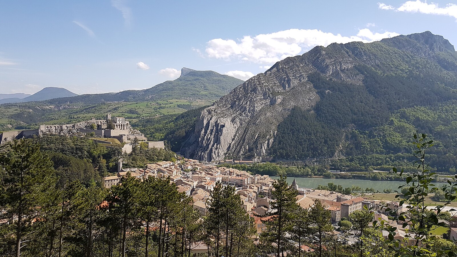
Known as the Gateway to Provence, this clifftop fortress town straddles the dramatic gap between rugged peaks and lavender fields.
Highlights
- Citadel skyline
- Narrow medieval streets
- Provençal charm
- Limestone rock formations
Key Facts
- Altitude: 1545m
- Top lift: 1650m
- Ski pistes: 1km
- Ski lifts: 2
- MTB trails: 434.1km
Ski Area
Weather and 10-day forecast for Sisteron
- Today: 11 to 12 °C, rain, 0 h of sunshine
- Freezing level today: about 3694 m (3500 to 3820 m)
| Day | Min / max | Sky | Precipitation | Sunshine |
|---|---|---|---|---|
| do 1 okt | 11 / 12 °C | rain | dry | 0 h sun |
| vr 2 okt | 10 / 15 °C | overcast | dry | 1 h sun |
| za 3 okt | 11 / 16 °C | overcast | dry | 1 h sun |
| zo 4 okt | 11 / 14 °C | rain | dry | 1 h sun |
| ma 5 okt | 9 / 18 °C | partly cloudy | dry | 9 h sun |
| di 6 okt | 7 / 16 °C | partly cloudy | dry | 6 h sun |
| wo 7 okt | 6 / 14 °C | rain | dry | 1 h sun |
| do 8 okt | 4 / 11 °C | rain showers | dry | 7 h sun |
| vr 9 okt | 2 / 7 °C | partly cloudy | dry | 6 h sun |
| za 10 okt | 1 / 12 °C | clear sky | dry | 10 h sun |
Things to do in Sisteron
Hikes nearby — Sisteron (14)
14 curated hiking trails around Sisteron, sourced from OpenStreetMap and enriched with distance, elevation gain and difficulty.
-
Tour de la Montagne de Lure
The route circles the Montagne de Lure — a limestone massif rising to 1,825 m, geological sibling of the Mont Ventoux — threading through lavender plateaus and truffle-oak groves before reaching a high stony desert with views stretching from the Vercors to the Mediterranean. Along the way, dry-stone shepherd shelters called *ories*, the cedar-shaded chapel of Notre-Dame de Lure, and beech forests on the shaded northern slopes mark a landscape that shelters chamois, wolves, and the rare Orsini's viper.
-
Route Napoléon à Pied (variante)
-
Du Pas de Peipin au Trou du Loup
-
Des Gorges de la Fayée au Chemin des Côtes
-
Le Vieux Village
-
Tours en Montagne de Lure
-
Charbonnières de Lure
-
Autour du Ponchon des Choux
-
Bois de la Fayée
-
Bois de Buche
-
Boucle de l'Asséroux
-
Circuit de la tour
-
Hameau de Vière
-
Chemin de Bouiron
Mountain biking near Sisteron
- Le Tour de la Montagne de l'Ubac
- Aux portes de la vallée du Jabron
- Saint-Vincent et Montfroc
- Les Crêtes de Lure
- Le Pas des Portes
- Les Balcons du Vieux Noyers
- Les Pistes de Lure
- Lure Enduro VTT
Getting to Sisteron
Door-to-door travel times as used by the MR. ALPS ranking.
- Nearest airport: Avignon Caumont airport (AVN), 76 km away, about 2h06 by road
- Marseille: 2h08 by car, 139 km
- Grenoble: 3h07 by car, 176 km
- Nice: 3h29 by car, 248 km
- Chambéry: 3h45 by car, 235 km
- Annecy: 4h17 by car, 282 km
- Lyon: 4h18 by car, 277 km
Where to stay in Sisteron
9 places to stay for a night on 2026-10-02, from 127 EUR per night, median 165 EUR. Prices are direct with hotels and destinations, compared live on the Sisteron page.