Serrada
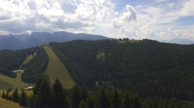
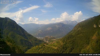
Live webcam
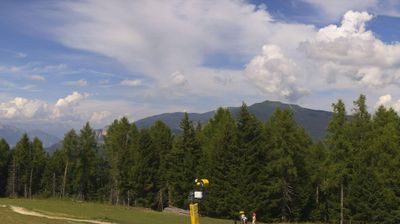
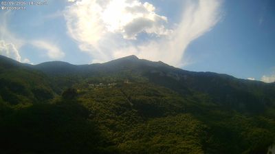
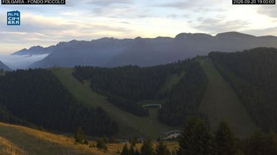
Open liften: 0/28
Sneeuwbericht
- Laatste 24 uur: 0 cm
- Laatste 72 uur: 0 cm
- Laatste 7 dagen: 0 cm
- Laatste 7 dagen: Dal 0cm · Middenstation 0cm · Top 0cm
- Seizoenstotaal: 0 cm
Skigebieden nu open · Sneeuwbericht
About Serrada
A quiet Trentino retreat where Futurist art history meets gentle slopes and the slow-paced charm of traditional mountain life.
Highlights
- Futurist cultural heritage
- Family-friendly terrain
- Artistic atmosphere
- Traditional Trentino cuisine
Key Facts
- Altitude: 1250m
- Top lift: 1850m
- Ski pistes: 70km
- Ski lifts: 26
- Population: 1,109
- Lakes nearby: 1
- MTB trails: 34.8km
- Mountain huts: 25
Ski Area
Inbegrepen in deze seizoenpassen
Weather and 10-day forecast for Serrada
- Today: 8 to 17 °C, clear sky, 9 h of sunshine
- Freezing level today: about 4202 m (4040 to 4330 m)
| Day | Min / max | Sky | Precipitation | Sunshine |
|---|---|---|---|---|
| zo 20 sep | 8 / 17 °C | clear sky | dry | 9 h sun |
| ma 21 sep | 10 / 18 °C | partly cloudy | dry | 7 h sun |
| di 22 sep | 8 / 15 °C | clear sky | dry | 9 h sun |
| wo 23 sep | 7 / 13 °C | overcast | dry | 3 h sun |
| do 24 sep | 6 / 15 °C | clear sky | dry | 9 h sun |
| vr 25 sep | 4 / 15 °C | clear sky | dry | 11 h sun |
| za 26 sep | 2 / 15 °C | clear sky | dry | 12 h sun |
| zo 27 sep | 5 / 17 °C | clear sky | dry | 12 h sun |
| ma 28 sep | 6 / 18 °C | overcast | dry | 1 h sun |
| di 29 sep | 6 / 20 °C | clear sky | dry | 11 h sun |
Things to do in Serrada
Hikes nearby — Serrada (8)
8 curated hiking trails around Serrada, sourced from OpenStreetMap and enriched with distance, elevation gain and difficulty.
-
Il Sentiero delle "Teragnòle"
The trail begins in Rovereto with a punishing cobblestone alley before climbing through dense beech forest, then transitions to larch and fir as it pushes upward toward Noriglio. It connects the valley town to higher terrain, threading through a landscape that shifts sharply from urban edge to mountain woodland.
-
Giro del Pornal
From Serrada's saddle, trail 16 drops into the deep, panoramic Val di Terragnòlo to reach Pornal, one of the highest hamlets in the valley — a rural borgo that feels worlds apart from the alpine plateau above. The path winds through coppice woodland of pines, hornbeams, beeches, and scattered firs rooted in limestone bedrock, with the massive bulk of Monte Pasubio facing you across the valley.
-
Giro delle Teleferiche
-
Dal Castello al Monte
-
Strada Vecia Terragnolo
-
Sentiero della Forra del Lupo
The trail traces the rim of the Val di Terragnolo along a recently rediscovered WWI trench, threading past defensive positions, observation posts, and the ruins of Forte Dosso del Sommo. From the gorge's edge, the path opens onto sweeping views toward the Pasubio and Baldo massifs to the west.
-
F7
-
Giro della Malga Finonchio
Mountain biking near Serrada
- Strada per Forte Dosso delle Somme
Getting to Serrada
Door-to-door travel times as used by the MR. ALPS ranking.
- Nearest airport: Verona Villafranca Valerio Catullo Airport (VRN), 60 km away, about 1h26 by road
- Trento: 37 min by car, 34 km
- Bolzano - Bozen: 1h15 by car, 92 km
- Verona: 1h20 by car, 93 km
- Padova: 1h31 by car, 109 km
- Brescia: 1h50 by car, 129 km
- Bologna: 2h38 by car, 221 km
Where to stay in Serrada
115 places to stay for a night on 2026-09-25, from 84 EUR per night, median 174 EUR. Prices are direct with hotels and destinations, compared live on the Serrada page.