Schermtanne – Stiegelschwand
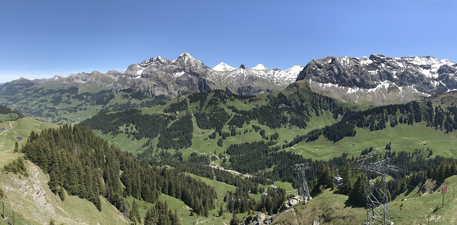
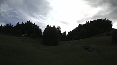
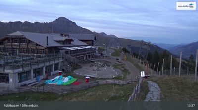
Live webcam
Open liften: 0/22
Sneeuwbericht
- Laatste 24 uur: 0 cm
- Laatste 72 uur: 0 cm
- Laatste 7 dagen: 0 cm
- Laatste 7 dagen: Dal 0cm · Middenstation 0cm · Top 0cm
- Seizoenstotaal: 0 cm
Skigebieden nu open · Sneeuwbericht
About Schermtanne – Stiegelschwand
A secluded Bernese hideaway where rustic farmsteads meet quiet forest trails, offering a slower pace far from the Adelboden crowds.
Highlights
- Traditional sun-blackened chalets
- Quiet forest retreats
- Bernese culinary heritage
- Panoramic valley hiking
Key Facts
- Altitude: 1496m
- Top lift: 1509m
- Ski lifts: 1
- Lakes nearby: 13
- MTB trails: 37.2km
- Mountain huts: 20
Ski Area
Inbegrepen in deze seizoenpassen
Weather and 10-day forecast for Schermtanne – Stiegelschwand
- Today: 6 to 14 °C, clear sky, 12 h of sunshine
- Freezing level today: about 4259 m (4060 to 4420 m)
| Day | Min / max | Sky | Precipitation | Sunshine |
|---|---|---|---|---|
| di 22 sep | 6 / 14 °C | clear sky | dry | 12 h sun |
| wo 23 sep | 8 / 18 °C | clear sky | dry | 12 h sun |
| do 24 sep | 8 / 15 °C | overcast | dry | 1 h sun |
| vr 25 sep | 7 / 16 °C | clear sky | dry | 9 h sun |
| za 26 sep | 9 / 18 °C | clear sky | dry | 10 h sun |
| zo 27 sep | 11 / 19 °C | overcast | dry | 2 h sun |
| ma 28 sep | 10 / 20 °C | clear sky | dry | 9 h sun |
| di 29 sep | 11 / 22 °C | clear sky | dry | 12 h sun |
| wo 30 sep | 9 / 20 °C | drizzle | dry | 2 h sun |
| do 1 okt | 9 / 14 °C | rain showers | dry | 0 h sun |
Things to do in Schermtanne – Stiegelschwand
Hikes nearby — Schermtanne – Stiegelschwand (20)
20+ curated hiking trails around Schermtanne – Stiegelschwand, sourced from OpenStreetMap and enriched with distance, elevation gain and difficulty.
-
Via Alpina
The trail climbs nearly 1000 metres from Lenk im Simmental up to the Betelberg, a summit area that conceals one of Switzerland's most unusual geological features: the Gryden, a crater-like, bizarre rock landscape that fascinates and astonishes.
-
Via Alpina
-
Schärmtanne - Tschentenalp
From the gondola station at Tschentenalp — Adelboden's "Berg der Aussichten" at 1950 m — the trail descends through dense forest to the Schärmtanne, with panoramic views opening across the valley's mountain backdrop along the way.
-
Schärmtanne - Uelisgraben
-
Furggi - Schwandfeldspitze
-
Flueweid - Schwandfeldspitze
-
Adelboden - Unter dem Birg
This car-free path follows a mountain stream from the quiet village of Adelboden through Oey and Raufmatte to the foot of the Engstligenalp, where foaming waters carve their dramatic way down into the valley. The return journey is made by bus.
-
Hohliebe - Unter dem Birg
The route climbs steeply from Unter dem Birg (1399 m) through pastures and forests to the high point at Laueli (1660 m), a beautiful ridge walk above Adelboden. From there the path descends through the Hohliebe, passing several ravines before dropping toward the valley.
-
Unter dem Birg - Engstligenfall
The trail follows the Engstlige river past the Chälistein to the lower Engstligenfall, where the waterfall plunges dramatically down. Starting from the bus stop at "Chäli," the route passes through forest, by a fireplace, and returns via the Restaurant Bergbach and the valley station of the cable car.
-
Unter dem Birg - Engstligenalp
A well-maintained mule track climbs through open terrain at the foot of the Bündihore toward the Engstligenalp, tracing the same route that cows, goats, and herdsmen have long taken on their alpine ascent. The roaring waters of the Engstligen Falls accompany the journey — the second-highest waterfalls in Switzerland, under cantonal nature protection since 1948.
-
Schwand - Laubbärgli
-
Cholerenschlucht Rundweg
-
Gibel - Gütsch
-
Stalde - Ammertenhütte
-
Bergweg Kraftort Grimmiwasser
-
Via Alpina: BE-12002 - Lenk
-
Höhenweg Elsigenalp-Adelboden
-
Via Alpina: Kandersteg - BE-12002
-
Siebenbrunnen-Weg
-
Geopfad Wiriehorn
Mountain biking near Schermtanne – Stiegelschwand
- Alpine Bike - Etappe 14
- MTB Freeride Kandersteg
- MTB Freeride Kandersteg Variante
- MTB Freeridetrail
Getting to Schermtanne – Stiegelschwand
Door-to-door travel times as used by the MR. ALPS ranking.
- Nearest airport: Bern Airport (BRN), 47 km away, about 1h06 by road
- Bern: 1h10 by car, 71 km
- Biel/Bienne: 1h34 by car, 106 km
- Luzern: 2h by car, 118 km
- Basel: 2h09 by car, 162 km
- Lausanne: 2h21 by car, 177 km
- Zürich: 2h30 by car, 189 km
Where to stay in Schermtanne – Stiegelschwand
135 places to stay for a night on 2026-09-25, from 146 EUR per night, median 614 EUR. Prices are direct with hotels and destinations, compared live on the Schermtanne – Stiegelschwand page.