Sappada
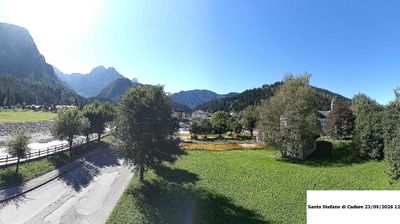
Live webcam



Open liften: 0/9
Sneeuwbericht
- Laatste 24 uur: 0 cm
- Laatste 72 uur: 0 cm
- Laatste 7 dagen: 0 cm
- Laatste 7 dagen: Dal 0cm · Middenstation 0cm · Top 0cm
- Seizoenstotaal: 0 cm
Skigebieden nu open · Sneeuwbericht
About Sappada
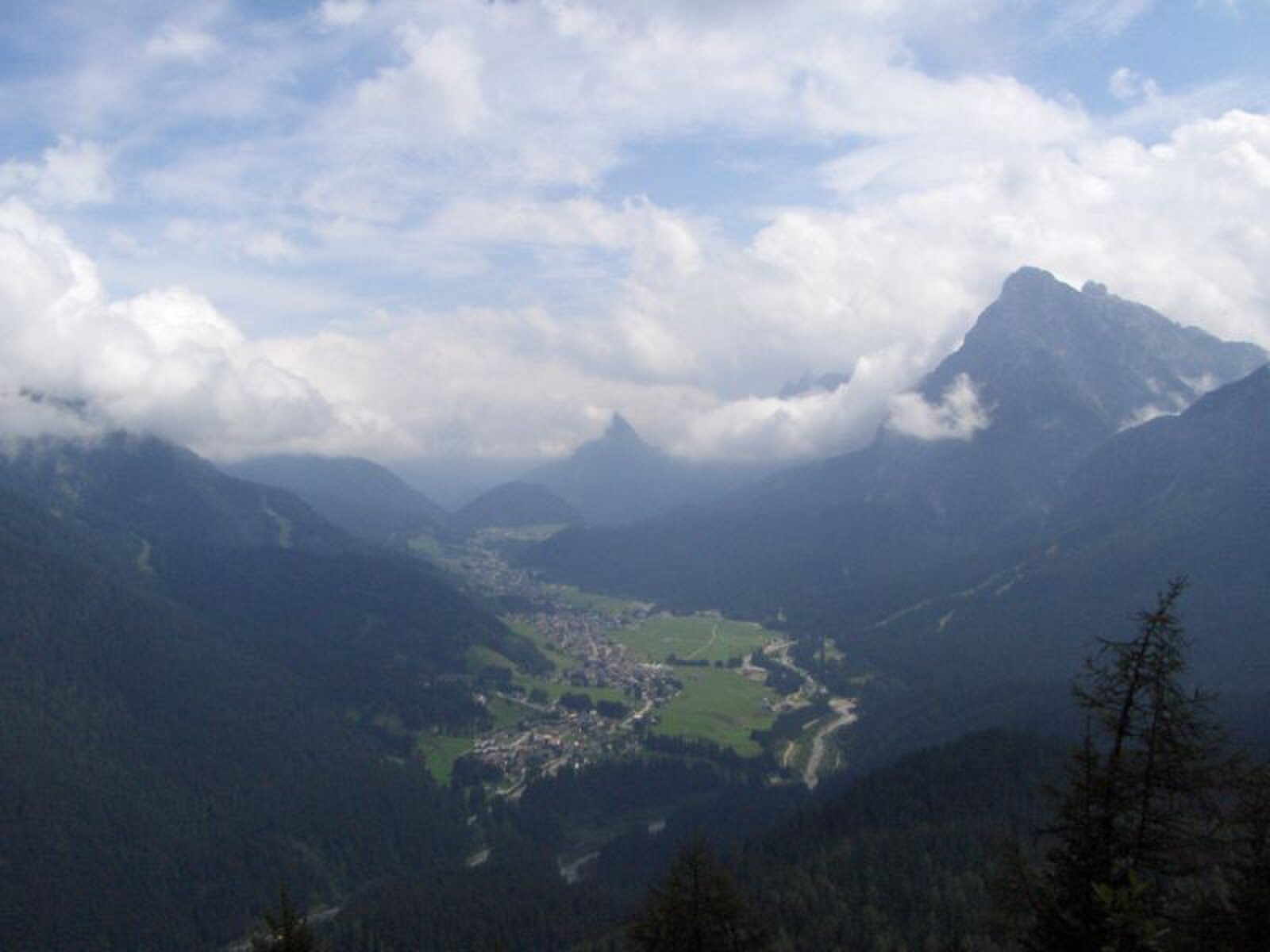
A secluded Dolomite enclave where ancient German dialects and dark timber houses preserve a stark, frontier mountain culture.
Highlights
- Austrian-influenced architecture
- Traditional Carnival masks
- Handcrafted wooden haylofts
- Remote valley charm
Key Facts
- Altitude: 1255m
- Top lift: 2000m
- Ski pistes: 14km
- Ski lifts: 9
- Population: 1,319
- Lakes nearby: 6
- MTB trails: 131.5km
- Mountain huts: 24
Ski Area
Weather and 10-day forecast for Sappada
- Today: 4 to 12 °C, clear sky, 13 h of sunshine
- Freezing level today: about 3261 m (2680 to 3560 m)
| Day | Min / max | Sky | Precipitation | Sunshine |
|---|---|---|---|---|
| wo 23 sep | 4 / 12 °C | clear sky | dry | 13 h sun |
| do 24 sep | 6 / 16 °C | overcast | dry | 2 h sun |
| vr 25 sep | 2 / 12 °C | clear sky | dry | 12 h sun |
| za 26 sep | 4 / 14 °C | clear sky | dry | 11 h sun |
| zo 27 sep | 8 / 16 °C | clear sky | dry | 11 h sun |
| ma 28 sep | 7 / 18 °C | clear sky | dry | 8 h sun |
| di 29 sep | 7 / 17 °C | clear sky | dry | 9 h sun |
| wo 30 sep | 6 / 17 °C | clear sky | dry | 10 h sun |
| do 1 okt | 6 / 17 °C | overcast | dry | 2 h sun |
| vr 2 okt | 8 / 13 °C | drizzle | dry | 0 h sun |
Things to do in Sappada
Hikes nearby — Sappada (17)
17 curated hiking trails around Sappada, sourced from OpenStreetMap and enriched with distance, elevation gain and difficulty.
-
Julius Kugy-Dreiländerweg E 24C
Rif. Piani del Cristo-südl. M. Chiardin-Sella di Keser-Piani di Luzza-R. Bianco-T.Degano-Forni Avoltri/Kirche-Sigilletto-Frassenetto-Collina-nördl. Runchs-Rif. Tolazzi-Sent. die Cramars-Rif. Lambertenghi-Wolayersee-Pass/144-Wolayersee Hütte
-
Julius Kugy-Dreiländerweg E 24B
Rif. M. Ferro-Dolomiten-Höhenweg-Oschtans-Laghi d’Olbe-P.so del Mulo-Sella Franza-P.so del Roccolo-Rif. Sorgenti del Piave-Quelle-Passo Avanzo-Sent. Nat. Piave P.te Schordan-Sent. Nat. Piave-B.ta Rododendro-Rif. Piani del Cristo
-
Alta via n. 6 delle Dolomiti
L'Alta via n. 6, conosciuta anche con il nome di Alta via dei Silenzi, è un'alta via alpina lungo le montagne dolomitiche, attraverso le regioni Friuli-Venezia Giulia e Veneto, in Italia. L'itinerario ha inizio dalle sorgenti del fiume Piave, nel comune di Sappada, in provincia di Udine, e termina nel comune di Vittorio Veneto, nella provincia di Treviso. Il percorso è segnalato da triangoli blu a
-
Cammino delle Pievi - Tappa 12B Variante
The route traverses the entire eastern flank of the Dolomiti Pesarine through beech and red fir forests, crossing open alpine pastures before descending along a panoramic balcony with views toward the mountain groups of Peralba and Cogliàns and the high Carnic villages overlooking the Val Degano.
-
Cammino delle Dolomiti - Tappa 19
-
Cammino delle Pievi - Tappa 13
-
Cammino delle Pievi - Tappa 12
The trail descends from the Val Pesarina through forested zones, crossing bridges over the Torrente Pesarina and the Rio Liana, before opening onto views of the Alpi Carniche Centrali — including Monte Zoncolan, Tamai, and Arvenis — as it leaves the Dolomiti Pesarine behind. It links two typical villages of central Carnia, passing through low-mountain woodland and arriving in the basin of Ovaro.
-
Cammino delle Dolomiti - Tappa 20
-
Santiero Naturale M. della Pianta
-
Julius Kugy-Dreiländerweg E 24A
Rif. De Gasperi-Dolomitenhöhenweg-Clap Piccolo/201-Campanile di Mimoias-P.so Elbel-Val d’Enghe /315-R. Enghe-R. Storto-F. Piave/314-Granvilla-Bach-Pill-Sent. Nat. M. Ferro-Rif. M. Ferro/3
-
Via Alpina Yellow B15
Sauris di Sotto - Forni di Sopra
-
Via Alpina Red R23
Hochweißsteinhaus - Neue Porze Hütte
-
Europäischer Fernwanderweg E10 (Nassfeld - Silian)
follows Südalpenweg 03
-
Südalpenweg 03 - Etappe 23
Hochweißsteinhaus - Porzehütte
-
Südalpenweg 03A
Hochweißsteinhaus - Porzehütte, Variante zu Etappe 23
-
Monte Ruke
-
Ovaro-Ovasta-Prato Carnico-Pesarïs
Getting to Sappada
Door-to-door travel times as used by the MR. ALPS ranking.
- Nearest airport: Trieste Airport (TRS), 102 km away, about 1h54 by road
- Padova: 2h22 by car, 187 km
- Bolzano - Bozen: 2h26 by car, 152 km
- Innsbruck: 2h55 by car, 185 km
- Trento: 2h57 by car, 208 km
- Verona: 3h10 by car, 269 km
- Bologna: 3h31 by car, 301 km
Where to stay in Sappada
75 places to stay for a night on 2026-09-25, from 173 EUR per night, median 338 EUR. Prices are direct with hotels and destinations, compared live on the Sappada page.