Rothwald/Wasenalp (Simplon Pass)
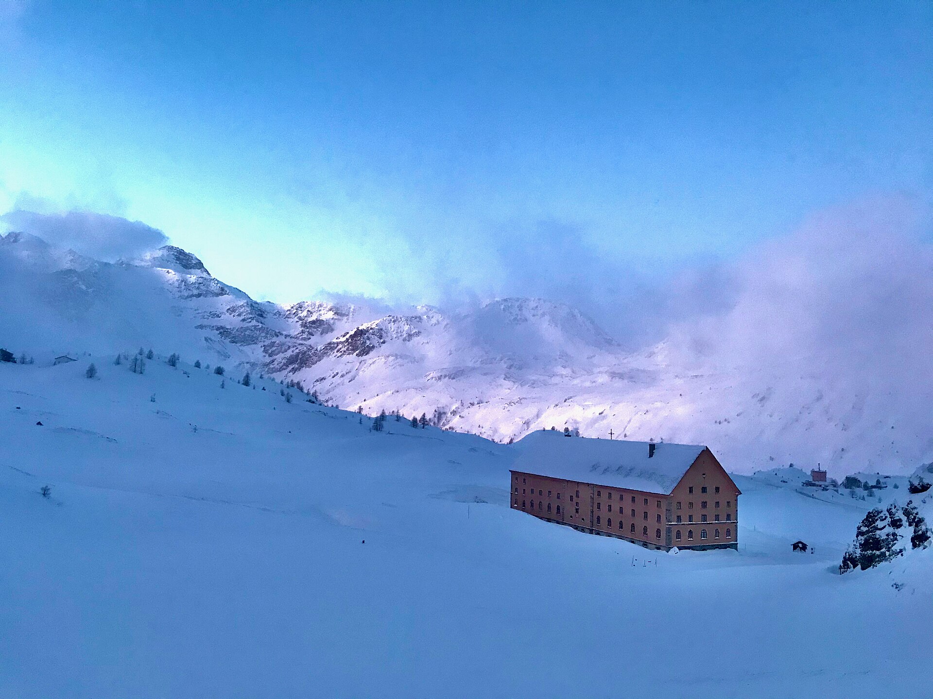
Live webcam
Open liften: 0%
Sneeuwbericht
- Laatste 24 uur: 0 cm
- Laatste 72 uur: 0 cm
- Laatste 7 dagen: 0 cm
- Laatste 7 dagen: Dal 0cm · Middenstation 0cm · Top 0cm
- Seizoenstotaal: 0.4 cm
Skigebieden nu open · Sneeuwbericht
About Rothwald/Wasenalp (Simplon Pass)
A cult-classic secret on the Simplon Pass, cherished by locals for its deep powder glades and rugged, off-grid atmosphere.
Highlights
- Deep larch forests
- Backcountry soul
- Reliable snow pocket
- Uncrowded skinning tracks
Key Facts
- Altitude: 1750m
- Top lift: 2270m
- Ski pistes: 25km
- Ski lifts: 3
- 4000m+ peaks nearby: 2
- Lakes nearby: 19
- MTB trails: 224.6km
- Mountain huts: 3
Ski Area
Inbegrepen in deze seizoenpassen
Weather and 10-day forecast for Rothwald/Wasenalp (Simplon Pass)
- Today: 6 to 15 °C, clear sky, 12 h of sunshine
- Freezing level today: about 4205 m (3980 to 4400 m)
| Day | Min / max | Sky | Precipitation | Sunshine |
|---|---|---|---|---|
| di 22 sep | 6 / 15 °C | clear sky | dry | 12 h sun |
| wo 23 sep | 5 / 14 °C | clear sky | dry | 12 h sun |
| do 24 sep | 7 / 13 °C | overcast | dry | 2 h sun |
| vr 25 sep | 4 / 15 °C | clear sky | dry | 7 h sun |
| za 26 sep | 6 / 17 °C | clear sky | dry | 10 h sun |
| zo 27 sep | 8 / 16 °C | partly cloudy | dry | 4 h sun |
| ma 28 sep | 9 / 15 °C | clear sky | dry | 11 h sun |
| di 29 sep | 10 / 15 °C | clear sky | dry | 12 h sun |
| wo 30 sep | 6 / 15 °C | drizzle | dry | 0 h sun |
| do 1 okt | 7 / 13 °C | rain showers | dry | 0 h sun |
Things to do in Rothwald/Wasenalp (Simplon Pass)
Hikes nearby — Rothwald/Wasenalp (Simplon Pass) (20)
20+ curated hiking trails around Rothwald/Wasenalp (Simplon Pass), sourced from OpenStreetMap and enriched with distance, elevation gain and difficulty.
-
Via Alpina Blue D5
Rosswald - Simplonpass
-
Via Alpina Blue D4
Binn - Rosswald
-
Via Alpina Blue D6
Via Alpina Blue, Section 6, Simplonpass » Zwischbergen
-
17-Alpenpässe-Weg
From the cable car at Rosswald — a car-free sun terrace above the Rhône valley with sweeping views over the Valaisian and Bernese Alps — the route traces the Bärgwasser irrigation channel (Suone) before climbing past the Bortelhütte and descending to the Simplon Pass road gallery at Schallbett. In autumn, the larch forests above Rothwald turn gold and the slopes offer wild blueberries along the way.
-
Alpenpässe-Weg
This stage of the Alpine Passes Trail crosses through the Binntal Landscape Park, a valley renowned for its mineral wealth — more than 200 different minerals have been found here, over half of them in the Lengenbach mineral mine, where snow-white dolomite marble can be searched for fool's gold.
-
16-Alpenpässe-Weg
-
18-Alpenpässe-Weg
-
ViaStockalper
The ViaStockalper follows a mule track expanded more than 300 years ago by Kaspar Stockalper, tracing a historic cultural route from Brig toward the Simplon Pass. The path passes through terrain carved directly into rock — as visible at Schallberg — on a route that has been revived in recent years as a living piece of Alpine history.
-
Simplonpass - Rothwald
The route passes through larch forests that turn gold in autumn, connecting Rothwald to the Simplon Pass along terrain that forms part of the long-distance Alpine Pass Route (Alpenpässeweg Nr. 6, stage 17).
-
Simplonpass - Grund
-
Rothwald - Ganterbrigga
The trail descends through the Jochtwald and the upper Rothwald — described as the highest larch forest in Europe — before dropping into the dramatic Durstbach gorge, then climbing to the mountain inn at Wasenalp, where views stretch across the Valais and Bernese Alps and down to the Rhône Valley. From the panoramic restaurant Mäderlicka near the top, the Wasenhorn on the Valais–Italy border comes into view, and on a clear day you can hear snatches of Italian carried on the wind.
-
Ganterbrücke - Schallberg
-
Ganterbrigga - Schallberg
-
Ganterbrücke - Undri Schmidmatte
-
Glis - Unners Nesseltal
-
Unners Nesseltal - Staldhorn
-
Rothwald - Monte-Leone Hütte SAC
-
Ried-Brig - Rosswald
-
Rosswald - Stafel
-
ViaStockalper: Brig - Simplonpass
Mountain biking near Rothwald/Wasenalp (Simplon Pass)
- Talweg Ganter
- Stockalperweg
Getting to Rothwald/Wasenalp (Simplon Pass)
Door-to-door travel times as used by the MR. ALPS ranking.
- Nearest airport: Milan Malpensa International Airport (MXP), 90 km away, about 2h04 by road
- Bern: 1h49 by train, 121 km
- Lausanne: 2h04 by car, 166 km
- Milano: 2h21 by car, 173 km
- Biel/Bienne: 2h26 by train, 155 km
- Luzern: 2h43 by car, 168 km
- Genève: 2h43 by car, 229 km
Where to stay in Rothwald/Wasenalp (Simplon Pass)
75 places to stay for a night on 2026-09-25, from 167 EUR per night, median 213 EUR. Prices are direct with hotels and destinations, compared live on the Rothwald/Wasenalp (Simplon Pass) page.