Randa
Live webcam

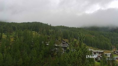
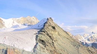
Open liften: 0%
Sneeuwbericht
- Laatste 24 uur: 0 cm
- Laatste 72 uur: 0 cm
- Laatste 7 dagen: 0 cm
- Laatste 7 dagen: Dal 0cm · Middenstation 0cm · Top 0cm
- Seizoenstotaal: 11.8 cm
Skigebieden nu open · Sneeuwbericht
About Randa
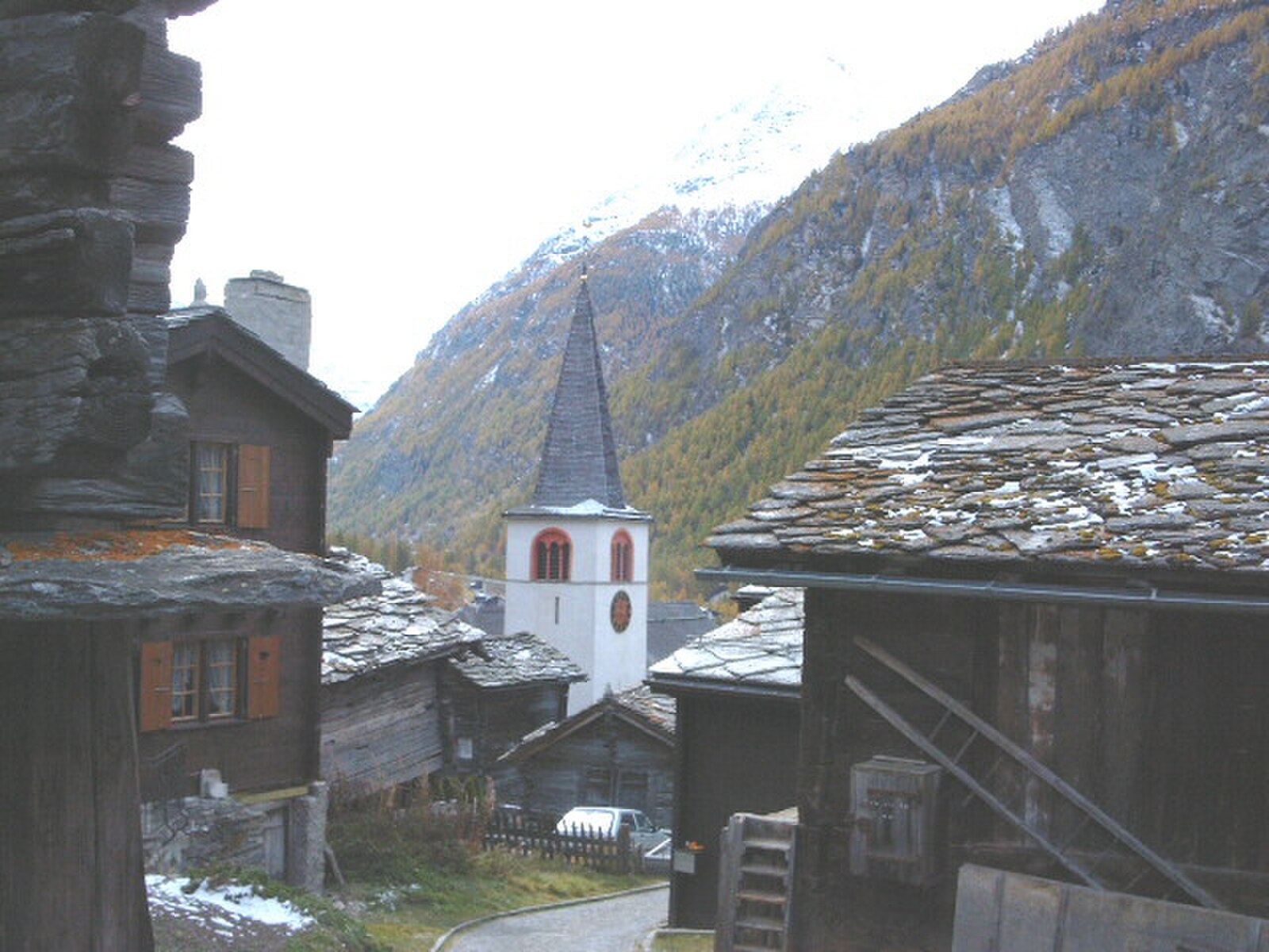
A quiet basecamp for mountaineers, known for the record-breaking pedestrian bridge and rugged trails leading to high-altitude huts.
Highlights
- World's longest suspension bridge
- Traditional Valaisan architecture
- High-alpine hiking base
- Larch-wood chalets
Key Facts
- Altitude: 1437m
- Top lift: 1435m
- Ski lifts: 1
- Population: 425
- 4000m+ peaks nearby: 29
- Lakes nearby: 6
- MTB trails: 52.5km
- Mountain huts: 19
Ski Area
Inbegrepen in deze seizoenpassen
Weather and 10-day forecast for Randa
- Today: 8 to 24 °C, partly cloudy, 7 h of sunshine
- Freezing level today: about 4181 m (3870 to 4310 m)
| Day | Min / max | Sky | Precipitation | Sunshine |
|---|---|---|---|---|
| zo 20 sep | 8 / 24 °C | partly cloudy | dry | 7 h sun |
| ma 21 sep | 10 / 23 °C | overcast | dry | 1 h sun |
| di 22 sep | 7 / 21 °C | clear sky | dry | 12 h sun |
| wo 23 sep | 12 / 21 °C | clear sky | dry | 12 h sun |
| do 24 sep | 11 / 21 °C | clear sky | dry | 10 h sun |
| vr 25 sep | 9 / 18 °C | clear sky | dry | 11 h sun |
| za 26 sep | 10 / 21 °C | clear sky | dry | 12 h sun |
| zo 27 sep | 12 / 22 °C | clear sky | dry | 12 h sun |
| ma 28 sep | 7 / 22 °C | clear sky | dry | 12 h sun |
| di 29 sep | 8 / 21 °C | clear sky | dry | 12 h sun |
Things to do in Randa
Hikes nearby — Randa (20)
20+ curated hiking trails around Randa, sourced from OpenStreetMap and enriched with distance, elevation gain and difficulty.
-
Randa Hängebrückenweg
visit suspension bridge
-
Tour Monte Rosa tappa 8
Tracing the opening stretch of the famous Europaweg, this stage cuts across steep, rocky slopes past the Grathorn viewpoint, with sweeping views over the Mattertal valley and the Weisshorn massif unfolding at every turn.
-
Swiss Tour Monte Rosa
A high-altitude panoramic traverse linking Saas-Fee to Zermatt, the route strings together views of 13 four-thousanders visible from Saas-Fee alone, threading the steep flanks of the Mischabel group along the Europaweg before crossing the 500 m Charles Kuonen suspension bridge — the world's longest pedestrian suspension bridge — with the Matterhorn waiting at the far end.
-
Randa - Europahütte
-
Geisstrift - Europahütte
The trail climbs from Randa to the Europahütte at 2220 m, a hut built in 1999 by the Burgergemeinde Randa that sits directly on the Europaweg — the high route threading the rocky flanks of the Mattertal between Grächen and Zermatt. From the hut's large sun terrace, a sweeping panoramic view opens across the valley.
-
Herbriggen - Breitmatten
-
Balmu - Herbriggen
-
Tour Monte Rosa tappa 9
around the Monte Rosa group
-
21-Alpenpässe-Weg
-
20-Alpenpässse-Weg
-
Tour Monte Rosa tappa 7
around the Monte Rosa group
-
Gamsweg
-
Blumenweg
-
Gletschertor - Seetalhorn
-
Abenteuerweg
-
Swiss Tour Monte Rosa: Europahütte - Zermatt
-
Swiss Tour Monte Rosa: Grächen - Europahütte
-
Gemsweg Saas-Fee
-
5-Seenweg Zermatt
-
Turtmanntaler Aussichtsweg
Mountain biking near Randa
- Riffelberg Trail
- Retinenweg
- Riffelberg-Trail
- Europaweg
- Furggji - Tufteren
- Ritzengrat
- Sunnegga Trail Zermatt
Getting to Randa
Door-to-door travel times as used by the MR. ALPS ranking.
- Nearest airport: Lugano Airport (LUG), 88 km away, about 3h by road
- Lausanne: 2h07 by car, 165 km
- Bern: 2h26 by train, 122 km
- Biel/Bienne: 2h41 by train, 155 km
- Genève: 2h46 by car, 227 km
- Luzern: 2h58 by car, 185 km
- Zürich: 3h04 by train, 239 km
Where to stay in Randa
55 places to stay for a night on 2026-09-25, from 150 EUR per night, median 209 EUR. Prices are direct with hotels and destinations, compared live on the Randa page.